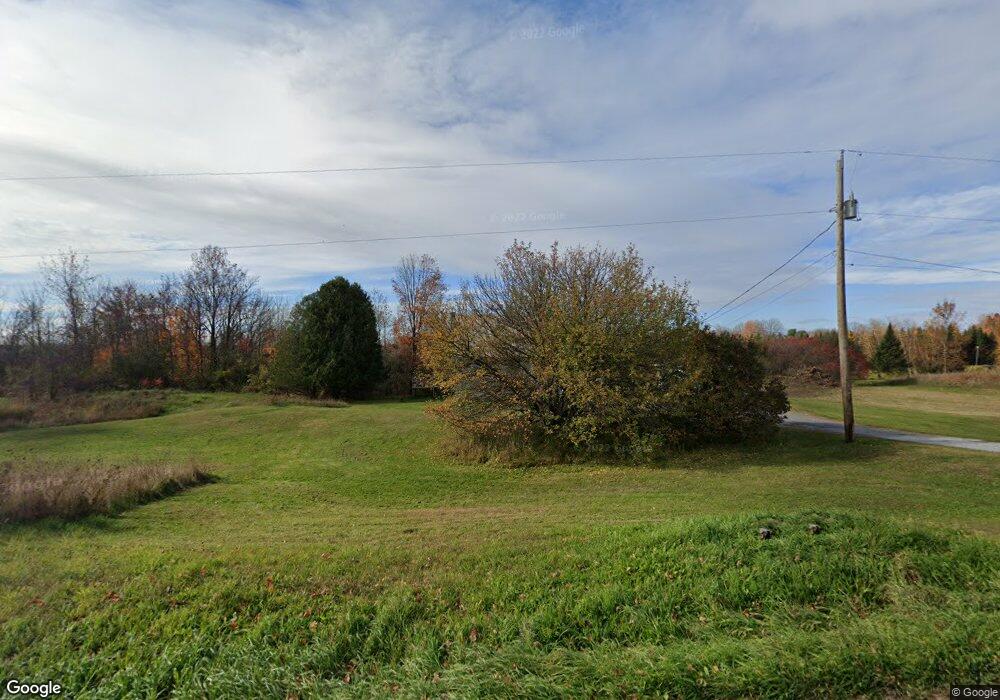
5073 Ethan Allen Hwy Saint Albans, VT 05478
Estimated Value: $359,000 - $522,000
--
Bed
--
Bath
--
Sq Ft
3
Acres
About This Home
This home is located at 5073 Ethan Allen Hwy, Saint Albans, VT 05478 and is currently estimated at $417,129. 5073 Ethan Allen Hwy is a home located in Franklin County with nearby schools including Georgia Elementary/Middle School and Bellows Free Academy High School.
Ownership History
Date
Name
Owned For
Owner Type
Purchase Details
Closed on
Feb 18, 2011
Sold by
Rogers Raymond W
Bought by
White Angel L
Current Estimated Value
Purchase Details
Closed on
Dec 17, 2003
Sold by
Leach Douglas and Leach Laura
Bought by
Rogers Raymond W and White Angel L
Purchase Details
Closed on
Jul 12, 2002
Sold by
Rowley Jm Inc
Bought by
Leach Douglas and Leach Laura
Purchase Details
Closed on
Jul 2, 2001
Sold by
Mossey Darryll D
Bought by
J M Rowley Inc
Purchase Details
Closed on
Mar 15, 2000
Sold by
Mossey Sue A Estate
Bought by
Mossey Darryll D
Create a Home Valuation Report for This Property
The Home Valuation Report is an in-depth analysis detailing your home's value as well as a comparison with similar homes in the area
Home Values in the Area
Average Home Value in this Area
Purchase History
| Date | Buyer | Sale Price | Title Company |
|---|---|---|---|
| White Angel L | $17,758 | -- | |
| Rogers Raymond W | $167,000 | -- | |
| Rogers Raymond W | $167,000 | -- | |
| Leach Douglas | $143,400 | -- | |
| Leach Douglas | $143,400 | -- | |
| J M Rowley Inc | $110,000 | -- | |
| J M Rowley Inc | $110,000 | -- | |
| Mossey Darryll D | $71,500 | -- | |
| Mossey Darryll D | $71,500 | -- |
Source: Public Records
Tax History Compared to Growth
Tax History
| Year | Tax Paid | Tax Assessment Tax Assessment Total Assessment is a certain percentage of the fair market value that is determined by local assessors to be the total taxable value of land and additions on the property. | Land | Improvement |
|---|---|---|---|---|
| 2024 | -- | $209,800 | $76,100 | $133,700 |
| 2023 | -- | $209,800 | $76,100 | $133,700 |
| 2022 | $3,759 | $209,800 | $76,100 | $133,700 |
| 2021 | $3,963 | $209,800 | $76,100 | $133,700 |
| 2020 | $3,743 | $209,800 | $76,100 | $133,700 |
| 2019 | $3,627 | $209,800 | $76,100 | $133,700 |
| 2018 | $3,518 | $209,800 | $76,100 | $133,700 |
| 2017 | $3,427 | $209,800 | $76,100 | $133,700 |
| 2016 | $3,387 | $209,800 | $76,100 | $133,700 |
Source: Public Records
Map
Nearby Homes
- 1120 Polly Hubbard Rd
- 6 Leos Ln
- 6 Leos Ln Unit Lot 6
- 190 Decker Rd
- 112 Green Acres Rd
- 45 Campano Dr
- 59 Campano Dr
- 1776 Ethan Allen Hwy
- 34 Sweet Bedrock Ln
- 302 Ledge Hill Dr
- 145 Bradley Hill Rd
- 1367 Fairfax Rd
- 0 Highbridge Rd
- 74 Willow Way
- 296 S Main St
- 669 Nottingham Dr
- 6 Benoit Dr
- 3 Benoit Dr
- 5 Benoit Dr
- 8 Benoit Dr
- 5023 Ethan Allen Hwy
- 5129 Ethan Allen Hwy
- 4938 Ethan Allen Hwy
- 25 Polly Hubbard Rd
- 3 Polly Hubbard
- 4902 Ethan Allen Hwy
- 4902 Ethan Allen Hwy Unit 1
- 102 Polly Hubbard Rd
- 124 Robert Newton Rd
- 4872 Ethan Allen Hwy
- 4872 Ethan Allen Hwy
- 35 Robert Newton Rd
- 211 Polly Hubbard Rd
- 4848 Ethan Allen Hwy
- 5315 Ethan Allen Hwy
- 279 Polly Hubbard Rd
- 4782 Ethan Allen Hwy
- 335 Polly Hubbard Rd
- 5383 Ethan Allen Hwy
- 4762 Ethan Allen Hwy