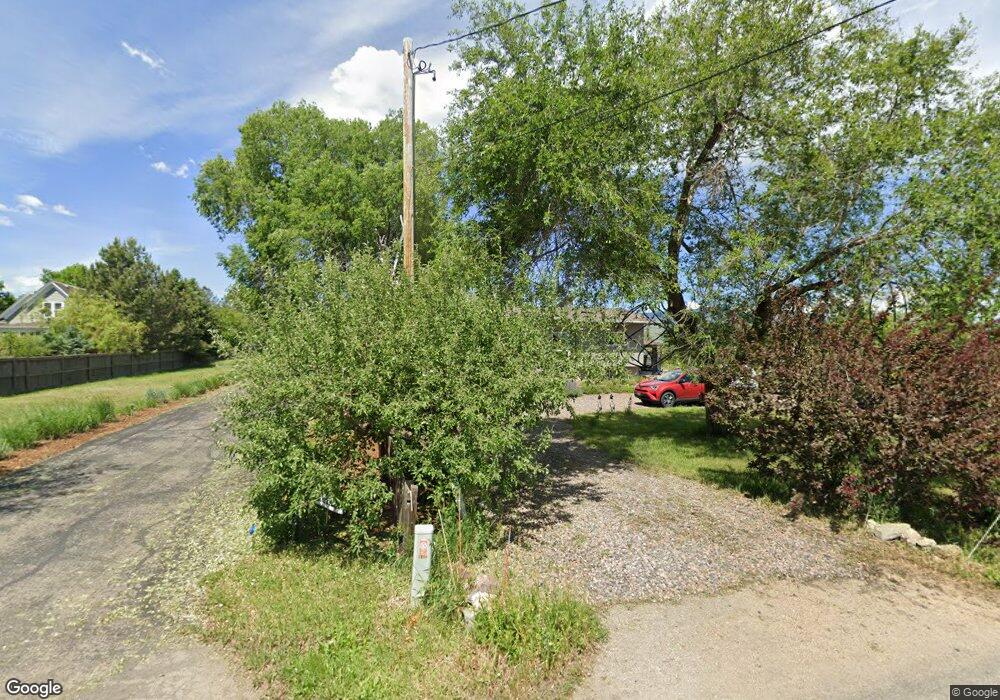
5075 51st St Boulder, CO 80301
Estimated Value: $1,555,032 - $2,444,000
3
Beds
3
Baths
1,871
Sq Ft
$1,044/Sq Ft
Est. Value
About This Home
This home is located at 5075 51st St, Boulder, CO 80301 and is currently estimated at $1,953,258, approximately $1,043 per square foot. 5075 51st St is a home located in Boulder County with nearby schools including Crest View Elementary School, Centennial Middle School, and Boulder High School.
Ownership History
Date
Name
Owned For
Owner Type
Purchase Details
Closed on
May 12, 2025
Sold by
Tussey Patricia Henry and Tussey Eric R
Bought by
Tussey Patricia Henry and Tussey Eric R
Current Estimated Value
Purchase Details
Closed on
Dec 31, 2002
Sold by
Henry Tussey Patricia and Tussey Eric R
Bought by
Tussey Patricia Henry
Home Financials for this Owner
Home Financials are based on the most recent Mortgage that was taken out on this home.
Original Mortgage
$150,000
Interest Rate
5.96%
Purchase Details
Closed on
Oct 2, 1992
Bought by
Tussey Patricia Henry and Tussey Eric R
Purchase Details
Closed on
Jul 9, 1991
Bought by
Tussey Patricia Henry and Tussey Eric R
Purchase Details
Closed on
Mar 14, 1973
Bought by
Tussey Patricia Henry and Tussey Eric R
Create a Home Valuation Report for This Property
The Home Valuation Report is an in-depth analysis detailing your home's value as well as a comparison with similar homes in the area
Home Values in the Area
Average Home Value in this Area
Purchase History
| Date | Buyer | Sale Price | Title Company |
|---|---|---|---|
| Tussey Patricia Henry | -- | None Listed On Document | |
| Tussey Patricia Henry | -- | Land Title | |
| Tussey Patricia Henry | -- | -- | |
| Tussey Patricia Henry | $121,400 | -- | |
| Tussey Patricia Henry | $38,500 | -- |
Source: Public Records
Mortgage History
| Date | Status | Borrower | Loan Amount |
|---|---|---|---|
| Previous Owner | Tussey Patricia Henry | $150,000 |
Source: Public Records
Tax History Compared to Growth
Tax History
| Year | Tax Paid | Tax Assessment Tax Assessment Total Assessment is a certain percentage of the fair market value that is determined by local assessors to be the total taxable value of land and additions on the property. | Land | Improvement |
|---|---|---|---|---|
| 2025 | $9,912 | $96,901 | $46,688 | $50,213 |
| 2024 | $9,912 | $96,901 | $46,688 | $50,213 |
| 2023 | $9,748 | $107,401 | $32,602 | $78,484 |
| 2022 | $7,775 | $79,846 | $26,737 | $53,109 |
| 2021 | $7,413 | $82,144 | $27,506 | $54,638 |
| 2020 | $7,104 | $77,864 | $32,461 | $45,403 |
| 2019 | $6,997 | $77,864 | $32,461 | $45,403 |
| 2018 | $6,357 | $69,934 | $26,640 | $43,294 |
| 2017 | $6,167 | $77,315 | $29,452 | $47,863 |
| 2016 | $5,460 | $45,937 | $26,666 | $19,271 |
| 2015 | $3,970 | $34,729 | $19,184 | $15,545 |
| 2014 | $2,942 | $34,729 | $19,184 | $15,545 |
Source: Public Records
Map
Nearby Homes
- 4963 Kelso Rd
- 4932 Valkyrie Dr
- 4937 Valkyrie Dr
- 5511 Pioneer Rd
- 5920 Gunbarrel Ave Unit B
- 5920 Gunbarrel Ave Unit D
- 5914 Gunbarrel Ave Unit F
- 5904 Gunbarrel Ave Unit B
- 5918 Gunbarrel Ave Unit B
- 5922 Gunbarrel Ave Unit F
- 4705 Spine Rd Unit C
- 4731 Jay Rd
- 4725 Spine Rd Unit F
- 5932 Gunbarrel Ave Unit E
- 4650 White Rock Cir Unit 12
- 4749 White Rock Cir Unit D
- 4799 White Rock Cir Unit D
- 4557 Apple Way
- 4775 White Rock Cir Unit B
- 5900 Brandywine Ct