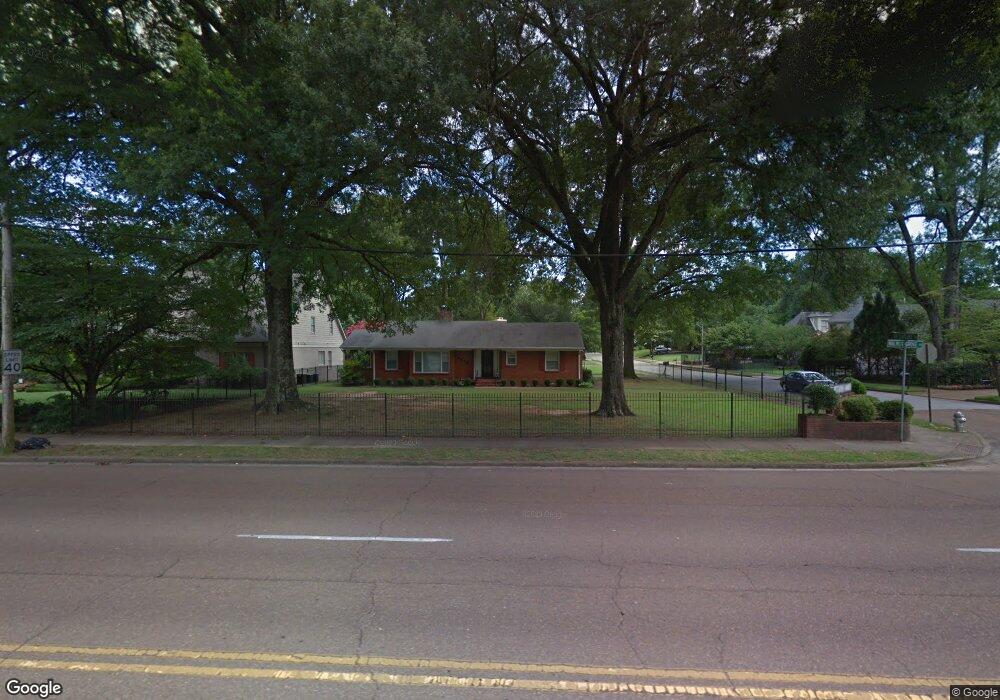
5079 Walnut Grove Rd Memphis, TN 38117
Audubon Park NeighborhoodEstimated Value: $351,000 - $445,000
3
Beds
2
Baths
1,942
Sq Ft
$199/Sq Ft
Est. Value
About This Home
This home is located at 5079 Walnut Grove Rd, Memphis, TN 38117 and is currently estimated at $385,720, approximately $198 per square foot. 5079 Walnut Grove Rd is a home located in Shelby County with nearby schools including White Station Elementary School, White Station High, and White Station Middle.
Ownership History
Date
Name
Owned For
Owner Type
Purchase Details
Closed on
Feb 16, 2023
Sold by
Griggs Joseph D
Bought by
Griggs Revocable Living Trust
Current Estimated Value
Purchase Details
Closed on
Jul 16, 2018
Sold by
Griggs Michelle and Forsdick Emily Maothis
Bought by
Griggs Michelle
Purchase Details
Closed on
Jul 11, 2018
Sold by
Griggs Michelle
Bought by
Griggs Joseph D and Griggs Michelle
Purchase Details
Closed on
Oct 25, 2012
Sold by
Lawrence Gary M
Bought by
Forsdick Emily M and Griggs Michelle D
Purchase Details
Closed on
Feb 28, 2008
Sold by
Matthew Ryan
Bought by
The Secretary Of Hud
Create a Home Valuation Report for This Property
The Home Valuation Report is an in-depth analysis detailing your home's value as well as a comparison with similar homes in the area
Home Values in the Area
Average Home Value in this Area
Purchase History
| Date | Buyer | Sale Price | Title Company |
|---|---|---|---|
| Griggs Revocable Living Trust | -- | -- | |
| Griggs Michelle | -- | None Available | |
| Griggs Joseph D | -- | None Available | |
| Forsdick Emily M | -- | -- | |
| The Secretary Of Hud | $535,100 | None Available |
Source: Public Records
Tax History Compared to Growth
Tax History
| Year | Tax Paid | Tax Assessment Tax Assessment Total Assessment is a certain percentage of the fair market value that is determined by local assessors to be the total taxable value of land and additions on the property. | Land | Improvement |
|---|---|---|---|---|
| 2025 | $2,373 | $88,450 | $22,200 | $66,250 |
| 2024 | $2,373 | $70,000 | $20,150 | $49,850 |
| 2023 | $4,264 | $70,000 | $20,150 | $49,850 |
| 2022 | $4,264 | $70,000 | $20,150 | $49,850 |
| 2021 | $2,415 | $70,000 | $20,150 | $49,850 |
| 2020 | $4,346 | $59,975 | $20,150 | $39,825 |
| 2019 | $1,917 | $59,975 | $20,150 | $39,825 |
| 2018 | $1,917 | $59,975 | $20,150 | $39,825 |
| 2017 | $1,962 | $59,975 | $20,150 | $39,825 |
| 2016 | $2,249 | $51,475 | $0 | $0 |
| 2014 | $2,249 | $51,475 | $0 | $0 |
Source: Public Records
Map
Nearby Homes
- 5068 Walnut Grove Rd
- 50 Grove Creek Place
- 65 Laverne Ln
- 5188 Gwynne Rd
- 5157 S Angela Rd
- 4975 Brookwood Cove
- 41 W Bendel Cir
- 5103 Norich Ave
- 5071 Anchor Cove
- 125 W Bendel Cir
- 5081 Rich Rd
- 5264 S Angela Rd
- 4956 Robindale Ln
- 142 W Bendel Cir
- 202 Betty jo Ln
- 151 N White Station Rd
- 264 Barry Rd
- 267 Barry Rd
- 209 Leonora Dr
- 131 N Mendenhall Rd
- 5089 Walnut Grove Rd
- 46 W Carlos Rd
- 35 W Carlos Rd
- 5099 Walnut Grove Rd
- 5059 Walnut Grove Rd
- 43 W Carlos Rd
- 5086 N Angela Rd
- 5098 N Angela Rd
- 51 W Carlos Rd
- 5076 Walnut Grove Rd
- 5092 Walnut Grove Rd
- 5109 Walnut Grove Rd
- 5104 N Angela Rd
- 61 W Carlos Rd
- 5056 Walnut Grove Rd
- 5102 Walnut Grove Rd
- 36 S Fernway Dr
- 26 S Fernway Rd
- 26 S Fernway Dr
- 46 S Fernway Dr