508 Bacon Branch Rd Jonesborough, TN 37659
Estimated Value: $455,000 - $742,000
--
Bed
2
Baths
2,864
Sq Ft
$213/Sq Ft
Est. Value
About This Home
This home is located at 508 Bacon Branch Rd, Jonesborough, TN 37659 and is currently estimated at $610,439, approximately $213 per square foot. 508 Bacon Branch Rd is a home located in Washington County with nearby schools including Lamar Elementary School and David Crockett High School.
Ownership History
Date
Name
Owned For
Owner Type
Purchase Details
Closed on
Feb 4, 2010
Bought by
Wright Timothy L and Wright Peggy D
Current Estimated Value
Purchase Details
Closed on
Nov 17, 2000
Sold by
Wright Timothy L
Bought by
Wiley David
Home Financials for this Owner
Home Financials are based on the most recent Mortgage that was taken out on this home.
Original Mortgage
$33,210
Interest Rate
7.82%
Purchase Details
Closed on
Aug 12, 1994
Bought by
Wright Timothy L and Wright Peggy D
Create a Home Valuation Report for This Property
The Home Valuation Report is an in-depth analysis detailing your home's value as well as a comparison with similar homes in the area
Home Values in the Area
Average Home Value in this Area
Purchase History
| Date | Buyer | Sale Price | Title Company |
|---|---|---|---|
| Wright Timothy L | $111,600 | -- | |
| Wiley David | $34,200 | -- | |
| Wright Timothy L | $11,200 | -- | |
| Wright Timothy L | $125,000 | -- |
Source: Public Records
Mortgage History
| Date | Status | Borrower | Loan Amount |
|---|---|---|---|
| Previous Owner | Wright Timothy L | $33,210 |
Source: Public Records
Tax History Compared to Growth
Tax History
| Year | Tax Paid | Tax Assessment Tax Assessment Total Assessment is a certain percentage of the fair market value that is determined by local assessors to be the total taxable value of land and additions on the property. | Land | Improvement |
|---|---|---|---|---|
| 2024 | $1,867 | $109,175 | $15,475 | $93,700 |
| 2022 | $1,046 | $48,650 | $9,500 | $39,150 |
| 2021 | $1,046 | $48,650 | $9,500 | $39,150 |
| 2020 | $1,046 | $48,650 | $9,500 | $39,150 |
| 2019 | $1,138 | $48,650 | $9,500 | $39,150 |
| 2018 | $1,138 | $47,800 | $8,975 | $38,825 |
| 2017 | $1,138 | $47,800 | $8,975 | $38,825 |
| 2016 | $1,138 | $47,800 | $8,975 | $38,825 |
| 2015 | $946 | $47,800 | $8,975 | $38,825 |
| 2014 | $946 | $47,800 | $8,975 | $38,825 |
Source: Public Records
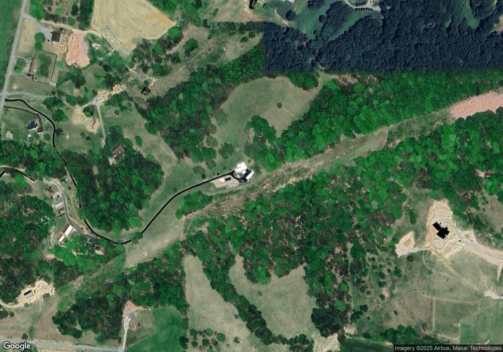
Map
Nearby Homes
- 201 Hartsell Rd
- 117 Maverick Rd
- Tract 1 Treadway Trail
- Tract 2 Treadway Trail
- 313 Treadway Trail
- Tbd Treadway Trail
- 2351 Highway 81 S
- 3102 Highway 81 S
- 164 Cochran Rd
- Lot 7 Markwood Cir
- 2644 Highway 81 S
- 2376 Highway 81 S
- 161 Cochran Rd
- 2684 Highway 81 S
- 450 Mount Zion Church Rd
- 161 Jay Barnett Rd
- 4743 Greenwood Dr
- 24 Vesta Sue Ct
- 266 Miller Rd
- 293 Miller Rd
- 506 Bacon Branch Rd
- 542 Bacon Branch Rd
- 522 Bacon Branch Rd
- 512 Bacon Branch Rd
- 167 Kelsey Peterson Rd
- 169 Kelsey Peterson Rd
- 504 Bacon Branch Rd
- 502 Bacon Branch Rd
- 652 Bacon Branch Rd
- 0 Bacon Branch Rd
- Tba Bacon Branch Rd
- LOT 1 Bacon Branch Rd
- LOT 3 Bacon Branch Rd
- LOT 6 Bacon Branch Rd
- LOT 11 Bacon Branch Rd
- LOT 5 Bacon Branch Rd
- LOT 8 Bacon Branch Rd
- LOT 9 Bacon Branch Rd
- LOT 10 Bacon Branch Rd
- LOT 7 Bacon Branch Rd