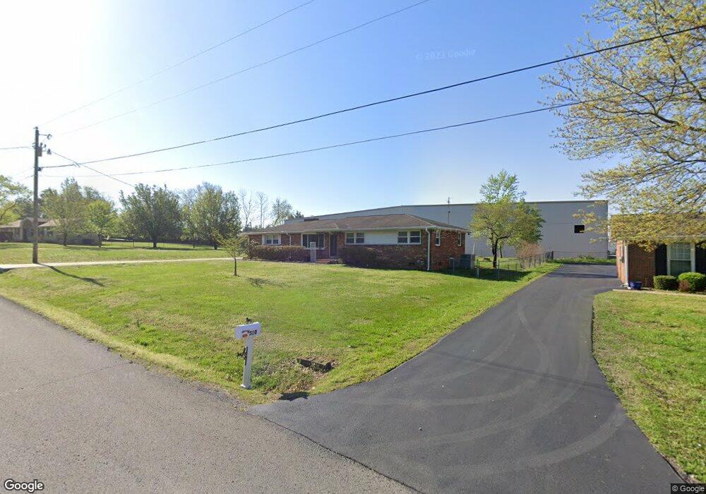
508 Holston Dr Smyrna, TN 37167
Estimated Value: $320,000 - $448,000
--
Bed
2
Baths
2,328
Sq Ft
$167/Sq Ft
Est. Value
About This Home
This home is located at 508 Holston Dr, Smyrna, TN 37167 and is currently estimated at $388,241, approximately $166 per square foot. 508 Holston Dr is a home located in Rutherford County with nearby schools including Smyrna Elementary School, Smyrna Middle School, and Smyrna High School.
Ownership History
Date
Name
Owned For
Owner Type
Purchase Details
Closed on
Aug 11, 2015
Sold by
Gillespie Joe U
Bought by
Sprouse William Edward Kimberly
Current Estimated Value
Home Financials for this Owner
Home Financials are based on the most recent Mortgage that was taken out on this home.
Original Mortgage
$115,000
Outstanding Balance
$90,845
Interest Rate
4.16%
Mortgage Type
VA
Estimated Equity
$297,396
Create a Home Valuation Report for This Property
The Home Valuation Report is an in-depth analysis detailing your home's value as well as a comparison with similar homes in the area
Home Values in the Area
Average Home Value in this Area
Purchase History
| Date | Buyer | Sale Price | Title Company |
|---|---|---|---|
| Sprouse William Edward Kimberly | $140,000 | -- |
Source: Public Records
Mortgage History
| Date | Status | Borrower | Loan Amount |
|---|---|---|---|
| Open | Sprouse William Edward Kimberly | $115,000 |
Source: Public Records
Tax History Compared to Growth
Tax History
| Year | Tax Paid | Tax Assessment Tax Assessment Total Assessment is a certain percentage of the fair market value that is determined by local assessors to be the total taxable value of land and additions on the property. | Land | Improvement |
|---|---|---|---|---|
| 2025 | $2,272 | $94,600 | $20,625 | $73,975 |
| 2024 | $2,272 | $94,600 | $20,625 | $73,975 |
| 2023 | $2,247 | $93,550 | $20,625 | $72,925 |
| 2022 | $2,004 | $93,550 | $20,625 | $72,925 |
| 2021 | $1,850 | $63,350 | $13,125 | $50,225 |
| 2020 | $1,850 | $63,350 | $13,125 | $50,225 |
| 2019 | $1,850 | $63,350 | $13,125 | $50,225 |
| 2018 | $1,774 | $63,350 | $0 | $0 |
| 2017 | $1,569 | $44,025 | $0 | $0 |
| 2016 | $1,569 | $44,025 | $0 | $0 |
| 2015 | $1,435 | $40,250 | $0 | $0 |
| 2014 | $1,001 | $40,250 | $0 | $0 |
| 2013 | -- | $38,950 | $0 | $0 |
Source: Public Records
Map
Nearby Homes
- 512 Holston Dr
- 402 Holston Dr
- 111 Brandon Trail
- 307 Dartford Ct
- 401 Ravencliff Ct
- 203 S Lowry St
- 313 Mayfield Dr
- 100 Halfrunner Way Unit 1
- 102 Halfrunner Way Unit 2
- 104 Halfrunner Way Unit 3
- 106 Halfrunner Way Unit 4
- 380 Sam Davis Rd
- 104 Belaire Dr
- 203 McNickle Dr
- 1655 Ben Johns Rd
- 314 Lake Farm Rd
- 205 Bane Dr
- 702 Mill Springs Dr
- 415 Lawson Rd
- 201 Bane Dr
- 510 Holston Dr
- 504 Holston Dr
- 331 Holston Dr
- 333 Holston Dr
- 261 Mayfield Dr
- 504 Cumberland Dr
- 329 Holston Dr
- 502 Holston Dr
- 105 Jackson Ct
- 327 Holston Dr
- 103 Jackson Ct
- 327 Cumberland Dr
- 100 Brandon Trail
- 325 Cumberland Dr
- 325 Holston Dr
- 410 Holston Dr
- 231 Mayfield Dr
- 323 Cumberland Dr
- 323 Holston Dr
- 103 Brandon Trail