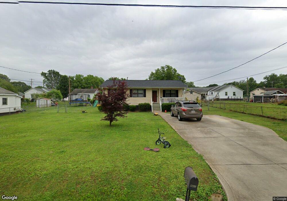
508 Park Cir Lowell, NC 28098
Estimated Value: $193,000 - $221,000
3
Beds
1
Bath
937
Sq Ft
$223/Sq Ft
Est. Value
About This Home
This home is located at 508 Park Cir, Lowell, NC 28098 and is currently estimated at $208,597, approximately $222 per square foot. 508 Park Cir is a home located in Gaston County with nearby schools including Lowell Elementary School, Holbrook Middle School, and Ashbrook High School.
Ownership History
Date
Name
Owned For
Owner Type
Purchase Details
Closed on
Mar 2, 2023
Sold by
Roberts Harvey D and Roberts Amelia D
Bought by
Hall Allen Ray and Hall Kelly Alexis
Current Estimated Value
Purchase Details
Closed on
May 3, 2011
Sold by
Buchanan Mark
Bought by
Roberts Harvey D and Roberts Amelia D
Home Financials for this Owner
Home Financials are based on the most recent Mortgage that was taken out on this home.
Original Mortgage
$55,200
Interest Rate
4.74%
Mortgage Type
Future Advance Clause Open End Mortgage
Purchase Details
Closed on
Dec 13, 2010
Sold by
Buchanan Lewis H and Buchanan Mable M
Bought by
Buchanan Mark
Purchase Details
Closed on
Aug 6, 2009
Sold by
Bank Of America National Association
Bought by
Buchanan Lewis H
Purchase Details
Closed on
May 18, 2009
Sold by
Waters Patsy Patricia and Waters Carl G
Bought by
Bank Of America National Association
Create a Home Valuation Report for This Property
The Home Valuation Report is an in-depth analysis detailing your home's value as well as a comparison with similar homes in the area
Home Values in the Area
Average Home Value in this Area
Purchase History
| Date | Buyer | Sale Price | Title Company |
|---|---|---|---|
| Hall Allen Ray | -- | None Listed On Document | |
| Roberts Harvey D | $69,000 | None Available | |
| Buchanan Mark | $15,000 | None Available | |
| Buchanan Lewis H | $15,000 | Chicago Title Insurance Co | |
| Bank Of America National Association | $26,303 | None Available |
Source: Public Records
Mortgage History
| Date | Status | Borrower | Loan Amount |
|---|---|---|---|
| Previous Owner | Roberts Harvey D | $55,200 |
Source: Public Records
Tax History Compared to Growth
Tax History
| Year | Tax Paid | Tax Assessment Tax Assessment Total Assessment is a certain percentage of the fair market value that is determined by local assessors to be the total taxable value of land and additions on the property. | Land | Improvement |
|---|---|---|---|---|
| 2025 | $168 | $173,120 | $17,000 | $156,120 |
| 2024 | $615 | $173,120 | $17,000 | $156,120 |
| 2023 | $228 | $173,120 | $17,000 | $156,120 |
| 2022 | $72 | $80,370 | $12,000 | $68,370 |
| 2021 | $48 | $80,370 | $12,000 | $68,370 |
| 2019 | $1,021 | $80,370 | $12,000 | $68,370 |
| 2018 | $955 | $73,429 | $14,400 | $59,029 |
| 2017 | $955 | $73,429 | $14,400 | $59,029 |
| 2016 | $955 | $73,429 | $0 | $0 |
| 2014 | -- | $70,950 | $13,500 | $57,450 |
Source: Public Records
Map
Nearby Homes
- 510 Mill St
- 302 W 2nd St
- 812 N Main St
- 508 Hand Cir
- 00 W 1st St
- 211 Seigle St Unit 37-38
- 514 Hand Cir
- 116 Kenworthy Ave
- 1421 Allison Woods Ct Unit 73p
- 805 River Trail Rd
- Winslow Plan at Heritage Hall
- Riley Plan at Heritage Hall
- Wayne Plan at Heritage Hall
- Kipling Plan at Heritage Hall
- Calloway Plan at Heritage Hall
- Calgary Plan at Heritage Hall
- Wakefield Plan at Heritage Hall
- Bayside Plan at Heritage Hall
- Montcrest Plan at Heritage Hall
- Brodrick Plan at Heritage Hall