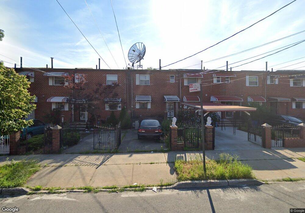
508 Powell St Brooklyn, NY 11212
Brownsville NeighborhoodEstimated Value: $565,581 - $635,000
3
Beds
1
Bath
1,116
Sq Ft
$534/Sq Ft
Est. Value
About This Home
This home is located at 508 Powell St, Brooklyn, NY 11212 and is currently estimated at $596,145, approximately $534 per square foot. 508 Powell St is a home located in Kings County with nearby schools including P.S. 150 - Christopher, P.S. 165 Ida Posner, and P.S. 156 Waverly.
Ownership History
Date
Name
Owned For
Owner Type
Purchase Details
Closed on
Jan 14, 2014
Sold by
Heugell A Rose & Winnifred M Lee-Rose Rec and Lee-Rose
Bought by
Joseph Jason and Joseph Peta-Gaye
Current Estimated Value
Home Financials for this Owner
Home Financials are based on the most recent Mortgage that was taken out on this home.
Original Mortgage
$299,475
Outstanding Balance
$226,112
Interest Rate
4.47%
Mortgage Type
New Conventional
Estimated Equity
$370,033
Purchase Details
Closed on
Jan 26, 2000
Sold by
Lee Winnifred
Bought by
Rose Heugell A and Lee Rose Winnifred M
Create a Home Valuation Report for This Property
The Home Valuation Report is an in-depth analysis detailing your home's value as well as a comparison with similar homes in the area
Home Values in the Area
Average Home Value in this Area
Purchase History
| Date | Buyer | Sale Price | Title Company |
|---|---|---|---|
| Joseph Jason | $305,000 | -- | |
| Joseph Jason | $305,000 | -- | |
| Rose Heugell A | -- | -- | |
| Rose Heugell A | -- | -- |
Source: Public Records
Mortgage History
| Date | Status | Borrower | Loan Amount |
|---|---|---|---|
| Open | Joseph Jason | $299,475 | |
| Closed | Joseph Jason | $299,475 |
Source: Public Records
Tax History Compared to Growth
Tax History
| Year | Tax Paid | Tax Assessment Tax Assessment Total Assessment is a certain percentage of the fair market value that is determined by local assessors to be the total taxable value of land and additions on the property. | Land | Improvement |
|---|---|---|---|---|
| 2025 | $4,626 | $33,660 | $11,580 | $22,080 |
| 2024 | $4,626 | $32,580 | $11,580 | $21,000 |
| 2023 | $4,413 | $34,800 | $11,580 | $23,220 |
| 2022 | $4,093 | $28,500 | $11,580 | $16,920 |
| 2021 | $4,315 | $29,580 | $11,580 | $18,000 |
| 2020 | $1,553 | $22,860 | $11,580 | $11,280 |
| 2019 | $2,864 | $22,860 | $11,580 | $11,280 |
| 2018 | $3,692 | $18,109 | $9,125 | $8,984 |
| 2017 | $3,483 | $17,085 | $9,756 | $7,329 |
| 2016 | $3,415 | $17,085 | $10,501 | $6,584 |
| 2014 | $1,944 | $15,994 | $9,296 | $6,698 |
Source: Public Records
Map
Nearby Homes
- 546 Powell St
- 699 Sackman St
- 563 Powell St
- 533 Snediker Ave
- 406 Hinsdale St
- 442 Newport St
- 797 Mother Gaston Blvd
- 541 Hinsdale St
- 584 Hinsdale St
- 576 Williams Ave
- 578 Williams Ave
- 582 Williams Ave
- 440 Blake Ave
- 258 Lott Ave
- 555 Christopher Ave
- 589 Hinsdale St
- 606 Alabama Ave
- 578 Christopher Ave
- 610 Alabama Ave
- 650 Williams Ave