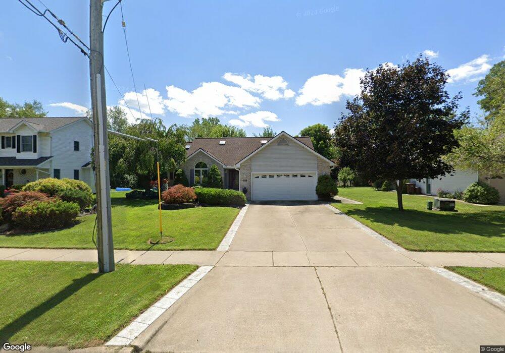
508 Robbe Ave Belleville, MI 48111
Estimated Value: $312,000 - $543,000
3
Beds
2
Baths
1,638
Sq Ft
$247/Sq Ft
Est. Value
About This Home
This home is located at 508 Robbe Ave, Belleville, MI 48111 and is currently estimated at $404,233, approximately $246 per square foot. 508 Robbe Ave is a home located in Wayne County with nearby schools including Edgemont Elementary School, Owen Intermediate School, and McBride Middle School.
Ownership History
Date
Name
Owned For
Owner Type
Purchase Details
Closed on
Oct 14, 2011
Sold by
The Estate Of Gary L Dargo
Bought by
Napier Billy R and Napier Shirley J
Current Estimated Value
Purchase Details
Closed on
May 15, 2002
Sold by
Kratzer Kenneth
Bought by
Dargo Gary L
Home Financials for this Owner
Home Financials are based on the most recent Mortgage that was taken out on this home.
Original Mortgage
$85,000
Interest Rate
6.56%
Mortgage Type
Purchase Money Mortgage
Create a Home Valuation Report for This Property
The Home Valuation Report is an in-depth analysis detailing your home's value as well as a comparison with similar homes in the area
Home Values in the Area
Average Home Value in this Area
Purchase History
| Date | Buyer | Sale Price | Title Company |
|---|---|---|---|
| Napier Billy R | $145,000 | Title One Inc | |
| Dargo Gary L | $187,000 | -- |
Source: Public Records
Mortgage History
| Date | Status | Borrower | Loan Amount |
|---|---|---|---|
| Previous Owner | Dargo Gary L | $85,000 |
Source: Public Records
Tax History
| Year | Tax Paid | Tax Assessment Tax Assessment Total Assessment is a certain percentage of the fair market value that is determined by local assessors to be the total taxable value of land and additions on the property. | Land | Improvement |
|---|---|---|---|---|
| 2025 | $2,696 | $194,700 | $0 | $0 |
| 2024 | $3,334 | $169,100 | $0 | $0 |
| 2023 | $3,188 | $147,600 | $0 | $0 |
| 2022 | $4,250 | $136,900 | $0 | $0 |
| 2021 | $3,896 | $128,900 | $0 | $0 |
| 2020 | $3,860 | $118,600 | $0 | $0 |
| 2019 | $3,797 | $110,500 | $0 | $0 |
| 2018 | $2,671 | $93,000 | $0 | $0 |
| 2017 | $1,791 | $92,200 | $0 | $0 |
| 2016 | $3,384 | $85,600 | $0 | $0 |
| 2015 | $7,549 | $77,700 | $0 | $0 |
| 2013 | $7,772 | $82,900 | $0 | $0 |
| 2012 | $2,834 | $75,300 | $16,200 | $59,100 |
Source: Public Records
Map
Nearby Homes
- 127 Madelon St
- 129 South St
- 14152 Laurelwood Dr
- 14211 Laurelwood Dr Unit 60
- 14342 Laurelwood Dr
- 14060 Martinsville Rd
- 11808 Harbor Ln
- 41620 E Huron River Dr
- 000 Martinsville Rd
- 44505 Harmony Ln
- 14333 Pond Bluff Dr
- 45669 Harmony Ln
- 43160 E Huron River Dr
- 806 Estrada Dr Unit 806
- 43275 Pond Bluff Dr
- 3 San Carlos St
- 44017 Harmony Ln
- 43103 Pond Bluff Dr
- 45109 Interstate 94 S Service Dr
- 42587 Colonial Rd
- 500 Robbe Ave
- 516 Robbe Ave Unit Bldg-Unit
- 516 Robbe Ave
- 492 Robbe Ave
- 191 Clarence St
- 190 S Biggs St
- 0 Robbe Ave
- 0 Robbe Ave
- 184 S Biggs St
- 472 Robbe Ave
- 176 S Biggs St
- 179 Clarence St
- 170 S Biggs St
- 458 Robbe Ave
- 458 Robbe Ave
- 192 Clarence St
- 171 Clarence St
- 166 S Biggs St
- 193 S Biggs St
- 167 Clarence St
Your Personal Tour Guide
Ask me questions while you tour the home.