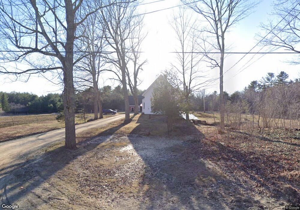
508 Rutland Rd Newport, ME 04953
Estimated Value: $261,075 - $278,000
4
Beds
1
Bath
1,473
Sq Ft
$182/Sq Ft
Est. Value
About This Home
This home is located at 508 Rutland Rd, Newport, ME 04953 and is currently estimated at $268,358, approximately $182 per square foot. 508 Rutland Rd is a home located in Penobscot County with nearby schools including Sebasticook Valley Elementary School and Nokomis Regional Middle School/High School.
Ownership History
Date
Name
Owned For
Owner Type
Purchase Details
Closed on
Aug 20, 2021
Sold by
Hafford Alexandria M
Bought by
Torbett Andrew T and Torbett Mary
Current Estimated Value
Home Financials for this Owner
Home Financials are based on the most recent Mortgage that was taken out on this home.
Original Mortgage
$171,717
Outstanding Balance
$156,144
Interest Rate
2.9%
Mortgage Type
Purchase Money Mortgage
Estimated Equity
$112,214
Purchase Details
Closed on
Oct 3, 2014
Sold by
Fhlmc
Bought by
Merrow Michael
Purchase Details
Closed on
Jul 7, 2014
Sold by
Pnc Bank Na
Bought by
Fhlmc
Create a Home Valuation Report for This Property
The Home Valuation Report is an in-depth analysis detailing your home's value as well as a comparison with similar homes in the area
Home Values in the Area
Average Home Value in this Area
Purchase History
| Date | Buyer | Sale Price | Title Company |
|---|---|---|---|
| Torbett Andrew T | -- | None Available | |
| Merrow Michael | -- | -- | |
| Fhlmc | -- | -- |
Source: Public Records
Mortgage History
| Date | Status | Borrower | Loan Amount |
|---|---|---|---|
| Open | Torbett Andrew T | $171,717 |
Source: Public Records
Tax History Compared to Growth
Tax History
| Year | Tax Paid | Tax Assessment Tax Assessment Total Assessment is a certain percentage of the fair market value that is determined by local assessors to be the total taxable value of land and additions on the property. | Land | Improvement |
|---|---|---|---|---|
| 2024 | $3,022 | $172,700 | $39,900 | $132,800 |
| 2023 | $2,616 | $160,500 | $37,300 | $123,200 |
| 2022 | $2,485 | $126,800 | $29,500 | $97,300 |
| 2021 | $2,497 | $121,200 | $28,200 | $93,000 |
| 2020 | $2,449 | $118,900 | $27,600 | $91,300 |
| 2019 | $2,390 | $112,200 | $26,100 | $86,100 |
| 2018 | $2,390 | $112,200 | $26,100 | $86,100 |
| 2017 | $2,098 | $104,900 | $26,100 | $78,800 |
| 2016 | $2,035 | $104,900 | $26,100 | $78,800 |
| 2015 | $1,878 | $104,900 | $26,100 | $78,800 |
| 2014 | $1,811 | $105,300 | $26,100 | $79,200 |
Source: Public Records
Map
Nearby Homes
- Lot 3-12 Shady Ln
- 106 Shady Ln
- 107 Shady Ln
- 009-007 Lilly Dr
- 39 Burleigh Rd
- 80 Jordon Rd
- 37 Loon Dr
- 267 E Newport Rd
- 1021 Greenbush Rd
- 36 Ireland Ave
- lot 5 Golf Course Cameo Sub Rd
- 5,7,9 Renewal St
- Lot 2 Golf Course Cameo Sub Rd
- 315 Golf Course Rd
- lot 6 Golf Course Rd Unit Lot 6
- 279 Wolfboro Rd
- 133 Hart St
- 48 Hart St
- 107 Barrows Point Rd
- Lot 010 Hope Rd
- 508 Rutland Rd
- 505 Rutland Rd
- 525 Rutland Rd
- 537 Rutland Rd
- 488 Rutland Rd
- 545 Rutland Rd
- 474 Rutland Rd
- 452 Rutland Rd
- 569 Rutland Rd
- 569 Mullen Rd
- 523 Mullen Rd
- 0 Pratt Rd Unit 805015
- 0 Pratt Rd Unit 203902
- 0 Pratt Rd Unit 1041725
- 581 Mullen Rd
- 552 Mullen Rd
- 532 Mullen Rd
- 585 Mullen Rd
- 436 Rutland Rd
- 590 Mullen Rd