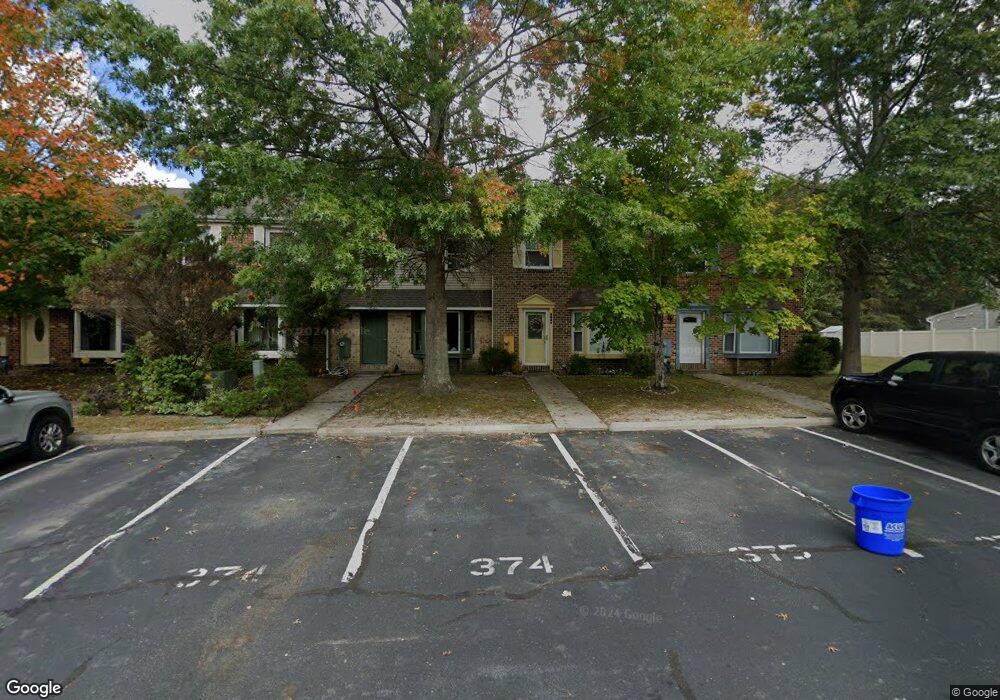
5082 Radnor Ct Mays Landing, NJ 08330
Estimated Value: $227,000 - $251,000
--
Bed
--
Bath
1,712
Sq Ft
$139/Sq Ft
Est. Value
About This Home
This home is located at 5082 Radnor Ct, Mays Landing, NJ 08330 and is currently estimated at $238,612, approximately $139 per square foot. 5082 Radnor Ct is a home located in Atlantic County with nearby schools including George L. Hess Educational Complex, Joseph Shaner School, and William Davies Middle School.
Ownership History
Date
Name
Owned For
Owner Type
Purchase Details
Closed on
Jun 28, 2006
Sold by
Luu Alexander
Bought by
Hao Yu Tze and Hao Irene
Current Estimated Value
Purchase Details
Closed on
Oct 15, 2001
Sold by
Vuong Ben H and Vuong Mimim
Bought by
Luu Alexander
Home Financials for this Owner
Home Financials are based on the most recent Mortgage that was taken out on this home.
Original Mortgage
$76,500
Interest Rate
6.92%
Purchase Details
Closed on
Nov 2, 1995
Sold by
Mcgettigan James
Bought by
Hud
Purchase Details
Closed on
Nov 29, 1988
Sold by
Fabro Development Co Inc
Bought by
Vuong Ben H and Vuong Mimim
Create a Home Valuation Report for This Property
The Home Valuation Report is an in-depth analysis detailing your home's value as well as a comparison with similar homes in the area
Home Values in the Area
Average Home Value in this Area
Purchase History
| Date | Buyer | Sale Price | Title Company |
|---|---|---|---|
| Hao Yu Tze | $193,000 | -- | |
| Luu Alexander | $85,000 | -- | |
| Hud | -- | -- | |
| Vuong Ben H | $102,200 | -- |
Source: Public Records
Mortgage History
| Date | Status | Borrower | Loan Amount |
|---|---|---|---|
| Previous Owner | Luu Alexander | $76,500 | |
| Closed | Hud | -- |
Source: Public Records
Tax History Compared to Growth
Tax History
| Year | Tax Paid | Tax Assessment Tax Assessment Total Assessment is a certain percentage of the fair market value that is determined by local assessors to be the total taxable value of land and additions on the property. | Land | Improvement |
|---|---|---|---|---|
| 2025 | $3,102 | $105,100 | $35,000 | $70,100 |
| 2024 | $3,102 | $90,400 | $35,000 | $55,400 |
| 2023 | $2,916 | $90,400 | $35,000 | $55,400 |
| 2022 | $2,916 | $90,400 | $35,000 | $55,400 |
| 2021 | $2,588 | $80,400 | $25,000 | $55,400 |
| 2020 | $2,588 | $80,400 | $25,000 | $55,400 |
| 2019 | $2,272 | $70,400 | $15,000 | $55,400 |
| 2018 | $2,192 | $70,400 | $15,000 | $55,400 |
| 2017 | $2,020 | $65,900 | $10,500 | $55,400 |
| 2016 | $1,844 | $61,900 | $6,500 | $55,400 |
| 2015 | $1,781 | $61,900 | $6,500 | $55,400 |
| 2014 | $1,773 | $67,500 | $7,500 | $60,000 |
Source: Public Records
Map
Nearby Homes
- 5022 Laydon Ct
- 4951 Cardigan Ct
- 4873 Bala Ct
- 4869 Bala Ct
- 4944 Flintshire Ct
- 4905 Bala Ct
- 4930 Denbigh Ct
- 39 Darby Ln
- 14 Strathmere Rd
- 3 Woodmere Ave
- 0 E Black Horse Unit 22520085
- 1556 Benjamin Franklin Ct
- 4772 Summersweet Dr
- 1574 John Adams Ct Unit 1574
- 4902 Winterbury Dr
- 1553 John Adams Ct Unit 653
- 2409 Arbor Ct
- 2425 Arbor Ct
- 4913 Tulip Tree Place Unit J93
- 2418 Primrose Ct