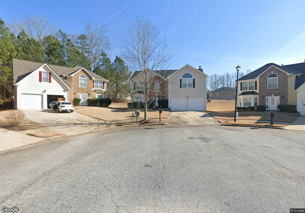
5084 Michael Jay St Snellville, GA 30039
Estimated Value: $356,201 - $380,000
4
Beds
3
Baths
2,330
Sq Ft
$157/Sq Ft
Est. Value
About This Home
This home is located at 5084 Michael Jay St, Snellville, GA 30039 and is currently estimated at $365,050, approximately $156 per square foot. 5084 Michael Jay St is a home located in Gwinnett County with nearby schools including Rosebud Elementary School, Grace Snell Middle School, and South Gwinnett High School.
Ownership History
Date
Name
Owned For
Owner Type
Purchase Details
Closed on
May 27, 2005
Sold by
Adeleye Kola
Bought by
Adeleye Kola and Adeleye Risi
Current Estimated Value
Home Financials for this Owner
Home Financials are based on the most recent Mortgage that was taken out on this home.
Original Mortgage
$114,228
Interest Rate
6.5%
Mortgage Type
New Conventional
Create a Home Valuation Report for This Property
The Home Valuation Report is an in-depth analysis detailing your home's value as well as a comparison with similar homes in the area
Home Values in the Area
Average Home Value in this Area
Purchase History
| Date | Buyer | Sale Price | Title Company |
|---|---|---|---|
| Adeleye Kola | $180,285 | -- | |
| Adeleye Kola | $180,300 | -- |
Source: Public Records
Mortgage History
| Date | Status | Borrower | Loan Amount |
|---|---|---|---|
| Previous Owner | Adeleye Kola | $114,228 |
Source: Public Records
Tax History Compared to Growth
Tax History
| Year | Tax Paid | Tax Assessment Tax Assessment Total Assessment is a certain percentage of the fair market value that is determined by local assessors to be the total taxable value of land and additions on the property. | Land | Improvement |
|---|---|---|---|---|
| 2025 | $4,159 | $148,160 | $30,000 | $118,160 |
| 2024 | $3,811 | $124,800 | $30,000 | $94,800 |
| 2023 | $3,811 | $124,360 | $29,680 | $94,680 |
| 2022 | $3,335 | $103,680 | $22,000 | $81,680 |
| 2021 | $2,906 | $81,200 | $14,000 | $67,200 |
| 2020 | $2,753 | $73,760 | $14,000 | $59,760 |
| 2019 | $2,660 | $73,760 | $14,000 | $59,760 |
| 2018 | $2,444 | $67,640 | $12,000 | $55,640 |
| 2016 | $2,033 | $55,280 | $10,000 | $45,280 |
| 2015 | $1,845 | $49,400 | $8,800 | $40,600 |
| 2014 | $1,853 | $49,400 | $8,800 | $40,600 |
Source: Public Records
Map
Nearby Homes
- 4041 Ash Tree St
- 4381 Ash Tree St
- 4850 Wynship Ln
- 0 Bryant Rd Unit 7646847
- 4656 Bryant Rd
- 4840 Heather Mill Trace
- 3770 Belle Glade Trail
- 4738 Chafin Point Ct
- 3892 Rosebud Park Dr
- 4348 Bradley Dr
- 4366 Bradley Dr SW
- 4244 Bradley Dr SW
- 0 Bradley Dr SW
- 3630 Gin Way Unit 1
- 4469 Persian Ct
- 4380 Cary Dr
- 3890 Irwin Bridge Rd NW
- 3880 Irwin Bridge Rd NW
- 4440 Cary Dr
- 5074 Michael Jay St
- 5075 Michael Jay St
- 5046 Laythan Jace Ct
- 5036 Laythan Jace Ct
- 5064 Michael Jay St
- 5065 Michael Jay St
- 5056 Laythan Jace Ct
- 5026 Laythan Jace Ct
- 5054 Michael Jay St
- 5055 Michael Jay St
- 5066 Laythan Jace Ct
- 0 Laythan Jace Ct SW Unit 8672154
- 0 Laythan Jace Ct SW Unit 7007516
- 0 Laythan Jace Ct SW Unit 7564784
- 0 Laythan Jace Ct SW Unit 7561982
- 0 Laythan Jace Ct SW Unit 7407948
- 0 Laythan Jace Ct SW Unit 7339109
- 0 Laythan Jace Ct SW Unit 3112789
- 0 Laythan Jace Ct SW Unit 3151177
- 0 Laythan Jace Ct SW Unit 7164859