Estimated Value: $265,697 - $313,000
3
Beds
2
Baths
1,682
Sq Ft
$172/Sq Ft
Est. Value
About This Home
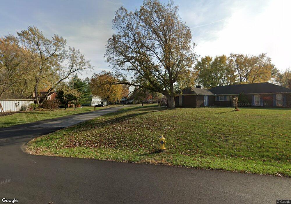
This home is located at 5089 Tillamook Trail, Lima, OH 45805 and is currently estimated at $288,674, approximately $171 per square foot. 5089 Tillamook Trail is a home located in Allen County with nearby schools including Maplewood Elementary School, Elmwood Elementary School, and Shawnee Middle School.
Ownership History
Date
Name
Owned For
Owner Type
Purchase Details
Closed on
Jun 24, 1997
Sold by
Basinger William
Bought by
Bayliff Gregory and Bayliff Elizabeth
Current Estimated Value
Home Financials for this Owner
Home Financials are based on the most recent Mortgage that was taken out on this home.
Original Mortgage
$92,150
Outstanding Balance
$13,221
Interest Rate
8.01%
Mortgage Type
New Conventional
Estimated Equity
$275,453
Purchase Details
Closed on
Sep 4, 1991
Bought by
Basinger William M
Create a Home Valuation Report for This Property
The Home Valuation Report is an in-depth analysis detailing your home's value as well as a comparison with similar homes in the area
Home Values in the Area
Average Home Value in this Area
Purchase History
| Date | Buyer | Sale Price | Title Company |
|---|---|---|---|
| Bayliff Gregory | $97,000 | -- | |
| Basinger William M | $89,000 | -- |
Source: Public Records
Mortgage History
| Date | Status | Borrower | Loan Amount |
|---|---|---|---|
| Open | Bayliff Gregory | $92,150 |
Source: Public Records
Tax History Compared to Growth
Tax History
| Year | Tax Paid | Tax Assessment Tax Assessment Total Assessment is a certain percentage of the fair market value that is determined by local assessors to be the total taxable value of land and additions on the property. | Land | Improvement |
|---|---|---|---|---|
| 2024 | $3,421 | $69,060 | $14,000 | $55,060 |
| 2023 | $3,209 | $56,600 | $11,480 | $45,120 |
| 2022 | $3,199 | $56,600 | $11,480 | $45,120 |
| 2021 | $3,224 | $56,600 | $11,480 | $45,120 |
| 2020 | $2,469 | $49,780 | $11,030 | $38,750 |
| 2019 | $2,469 | $49,780 | $11,030 | $38,750 |
| 2018 | $2,457 | $49,780 | $11,030 | $38,750 |
| 2017 | $2,443 | $47,920 | $11,030 | $36,890 |
| 2016 | $2,357 | $47,920 | $11,030 | $36,890 |
| 2015 | $2,161 | $47,920 | $11,030 | $36,890 |
| 2014 | $2,161 | $43,370 | $10,150 | $33,220 |
| 2013 | $2,119 | $43,370 | $10,150 | $33,220 |
Source: Public Records
Map
Nearby Homes
- 845 Atalan Trail
- 4875 Wenatchi Trail
- 4803 Kitamat Trail
- 550 Tonkawa Trail
- 251 Timberfield Dr N
- 200 Fraunfelter Rd S
- 1340 Wonderlick Rd
- 1069 S Kemp Rd
- 00 Seriff
- 1440 Riverview Dr
- 0 Colonial Ln
- 3390 Spencerville Rd
- 3948 Chestnut Oak Trail
- 1446 Adak Ave
- 0 Springview Dr
- 1424 Loch Loman Way
- 1911 Wonderlick Rd
- 2940 Koop Rd
- 2925 Koop Rd
- 2956 W High St