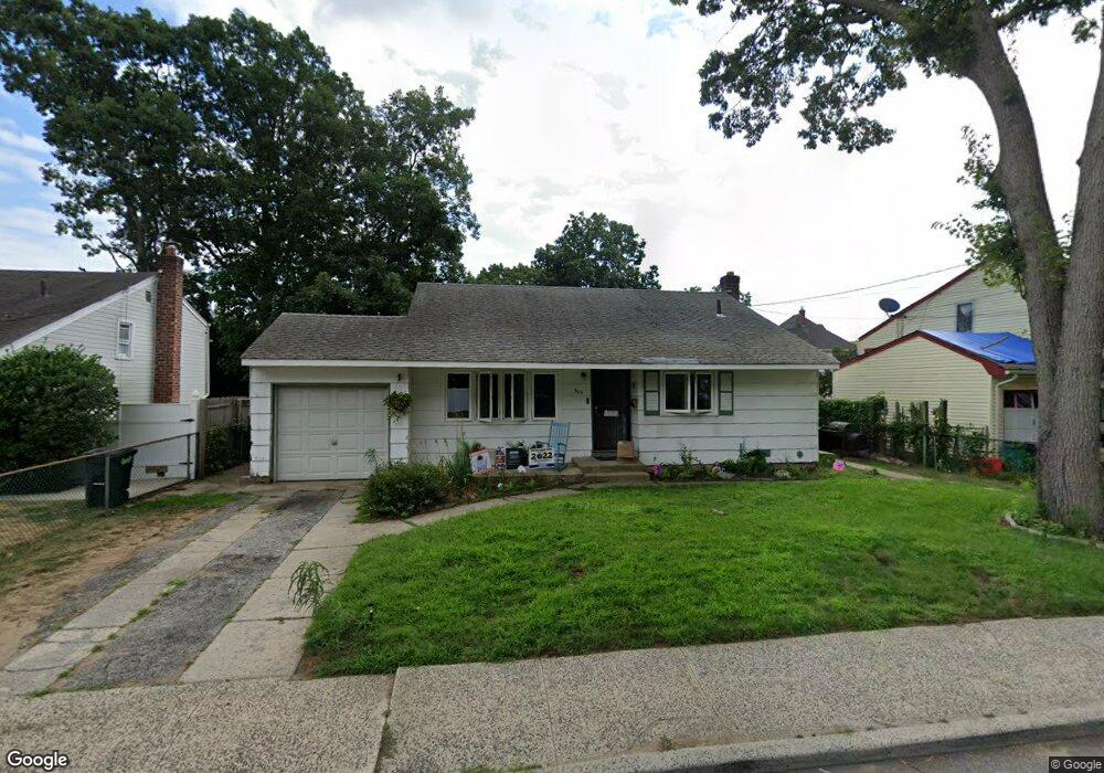
509 Champlain Ave West Hempstead, NY 11552
Estimated Value: $537,133 - $660,000
Studio
2
Baths
916
Sq Ft
$653/Sq Ft
Est. Value
About This Home
This home is located at 509 Champlain Ave, West Hempstead, NY 11552 and is currently estimated at $598,567, approximately $653 per square foot. 509 Champlain Ave is a home located in Nassau County with nearby schools including Maurice W. Downing Primary K-2 School, Davison Avenue Intermediate School, and Howard T Herber Middle School.
Ownership History
Date
Name
Owned For
Owner Type
Purchase Details
Closed on
Aug 3, 1998
Current Estimated Value
Create a Home Valuation Report for This Property
The Home Valuation Report is an in-depth analysis detailing your home's value as well as a comparison with similar homes in the area
Home Values in the Area
Average Home Value in this Area
Purchase History
| Date | Buyer | Sale Price | Title Company |
|---|---|---|---|
| -- | -- | -- |
Source: Public Records
Tax History
| Year | Tax Paid | Tax Assessment Tax Assessment Total Assessment is a certain percentage of the fair market value that is determined by local assessors to be the total taxable value of land and additions on the property. | Land | Improvement |
|---|---|---|---|---|
| 2025 | $10,699 | $391 | $170 | $221 |
| 2024 | $3,976 | $391 | $170 | $221 |
| 2023 | $10,007 | $391 | $170 | $221 |
| 2022 | $10,007 | $390 | $170 | $220 |
| 2021 | $13,418 | $368 | $160 | $208 |
| 2020 | $16,648 | $593 | $346 | $247 |
| 2019 | $10,377 | $593 | $346 | $247 |
| 2018 | $9,684 | $593 | $0 | $0 |
| 2017 | $5,173 | $593 | $346 | $247 |
| 2016 | $8,662 | $593 | $346 | $247 |
| 2015 | $3,264 | $593 | $346 | $247 |
| 2014 | $3,264 | $593 | $346 | $247 |
| 2013 | $3,074 | $593 | $346 | $247 |
Source: Public Records
Map
Nearby Homes
- 486 Champlain Ave
- 7 Hopatcong Ave
- 480 Hopatcong Ave
- 1024 Mahopac Rd
- 485 Barbara Ln
- 945 Derrick Adkins Ln
- 461 Pinebrook Ave
- 1090 Pinebrook Ct
- 1095 Pinebrook Ct
- 362 Langdon Blvd
- 450 Rhodes Ln
- 495 Rose Ave
- 529 Clinton Ave
- 815 Iris Place
- 841 Woodfield Rd
- 312 Coventry Rd S
- 402 Clinton Ave
- 501 Lafayette Ave
- 492 Pershing Blvd
- 49 Carol St
- 503 Champlain Ave
- 515 Champlain Ave
- 510 Ronkonkoma Ave
- 17 Ronkonkoma Ave
- 504 Ronkonkoma Ave
- 497 Champlain Ave
- 521 Champlain Ave
- 521 Champlain Ave
- 510 Champlain Ave
- 19 Ronkonkoma Ave
- 993 Orlando Ave
- 994 Erie Rd
- 7 Ronkonkoma Ave
- 493 Champlain Ave
- 21 Ronkonkoma Ave
- 529 Champlain Ave
- 981 Orlando Ave
- 982 Erie Rd
- 487 Ronkonkoma Ave
- 993 Erie Rd
Your Personal Tour Guide
Ask me questions while you tour the home.