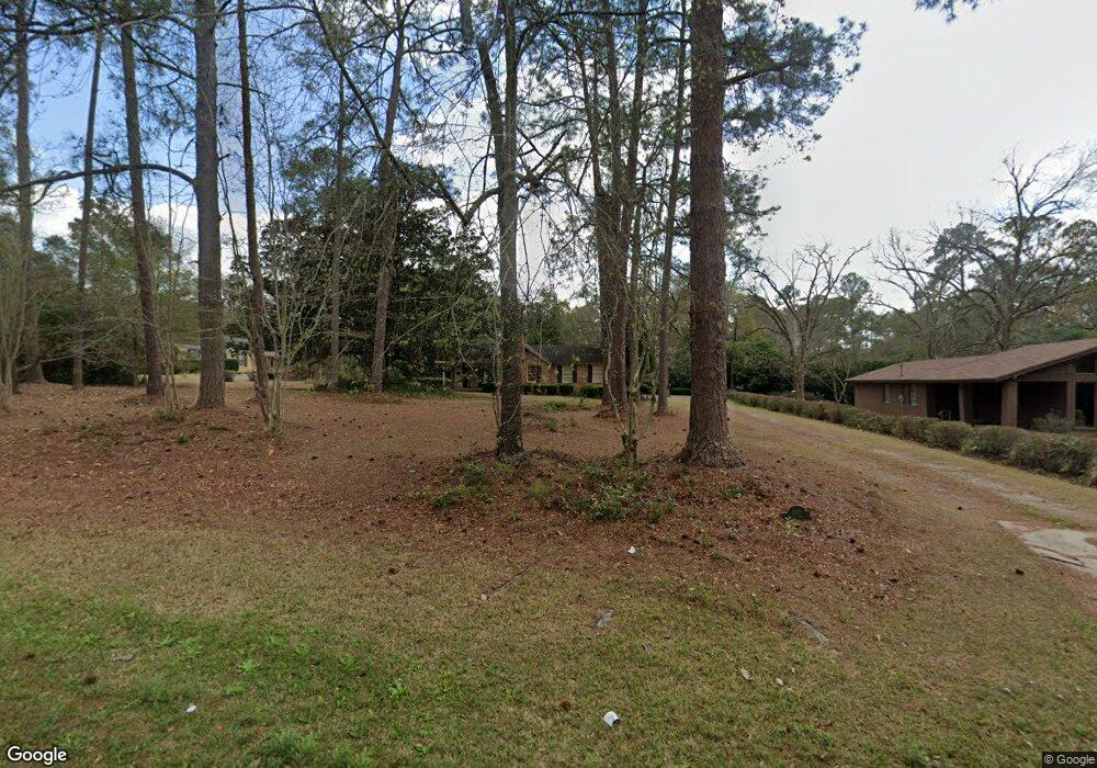
509 Gornto Rd Valdosta, GA 31602
Estimated Value: $272,000 - $286,477
3
Beds
2
Baths
2,132
Sq Ft
$130/Sq Ft
Est. Value
About This Home
This home is located at 509 Gornto Rd, Valdosta, GA 31602 and is currently estimated at $276,869, approximately $129 per square foot. 509 Gornto Rd is a home located in Lowndes County with nearby schools including S.L. Mason Elementary School, Valdosta Middle School, and Valdosta High School.
Ownership History
Date
Name
Owned For
Owner Type
Purchase Details
Closed on
Mar 21, 2023
Sold by
Villanueva Angelica
Bought by
Perry Jason
Current Estimated Value
Purchase Details
Closed on
Jul 30, 2018
Sold by
Sherwood Jane M
Bought by
Pietrucha Joseph
Home Financials for this Owner
Home Financials are based on the most recent Mortgage that was taken out on this home.
Original Mortgage
$128,250
Interest Rate
4.5%
Mortgage Type
New Conventional
Purchase Details
Closed on
Aug 16, 1995
Bought by
Sherwood Jane M
Purchase Details
Closed on
May 24, 1981
Bought by
Sherwood J Carol
Create a Home Valuation Report for This Property
The Home Valuation Report is an in-depth analysis detailing your home's value as well as a comparison with similar homes in the area
Home Values in the Area
Average Home Value in this Area
Purchase History
| Date | Buyer | Sale Price | Title Company |
|---|---|---|---|
| Perry Jason | $240,000 | -- | |
| Villanueva Angelica | $230,000 | -- | |
| Pietrucha Joseph | $135,000 | -- | |
| Sherwood Jane M | -- | -- | |
| Sherwood J Carol | $70,000 | -- |
Source: Public Records
Mortgage History
| Date | Status | Borrower | Loan Amount |
|---|---|---|---|
| Previous Owner | Pietrucha Joseph | $128,250 |
Source: Public Records
Tax History Compared to Growth
Tax History
| Year | Tax Paid | Tax Assessment Tax Assessment Total Assessment is a certain percentage of the fair market value that is determined by local assessors to be the total taxable value of land and additions on the property. | Land | Improvement |
|---|---|---|---|---|
| 2024 | $2,540 | $90,951 | $23,130 | $67,821 |
| 2023 | $2,540 | $90,210 | $23,130 | $67,080 |
| 2022 | $2,295 | $67,908 | $23,130 | $44,778 |
| 2021 | $2,361 | $67,908 | $23,130 | $44,778 |
| 2020 | $2,412 | $67,908 | $23,130 | $44,778 |
| 2019 | $1,917 | $67,908 | $23,130 | $44,778 |
| 2018 | $2,352 | $71,393 | $15,420 | $55,973 |
| 2017 | $2,368 | $71,393 | $15,420 | $55,973 |
| 2016 | $2,364 | $71,393 | $15,420 | $55,973 |
| 2015 | $1,799 | $60,198 | $15,420 | $44,778 |
| 2014 | $1,829 | $60,198 | $15,420 | $44,778 |
Source: Public Records
Map
Nearby Homes
- 2208 N Oak St
- 309 W Park Ave
- 2503 N Oak St
- 333 Canna Dr
- 2112 Azalea Dr
- 209 W Park Ave
- 315 Canna Dr
- 604 Azalea Cir
- 1909 Azalea Dr
- 300 Georgia Ave
- 805 Millpond Rd
- 410 Georgetown Cir
- 68 Pineridge Dr
- 2005 N Patterson St
- 2325 White Oak Dr
- 2206 White Oak Dr
- 1 Fox Hollow Cir
- 422 Georgetown Cir
- 903 Gornto Rd
- 1807 N Patterson St