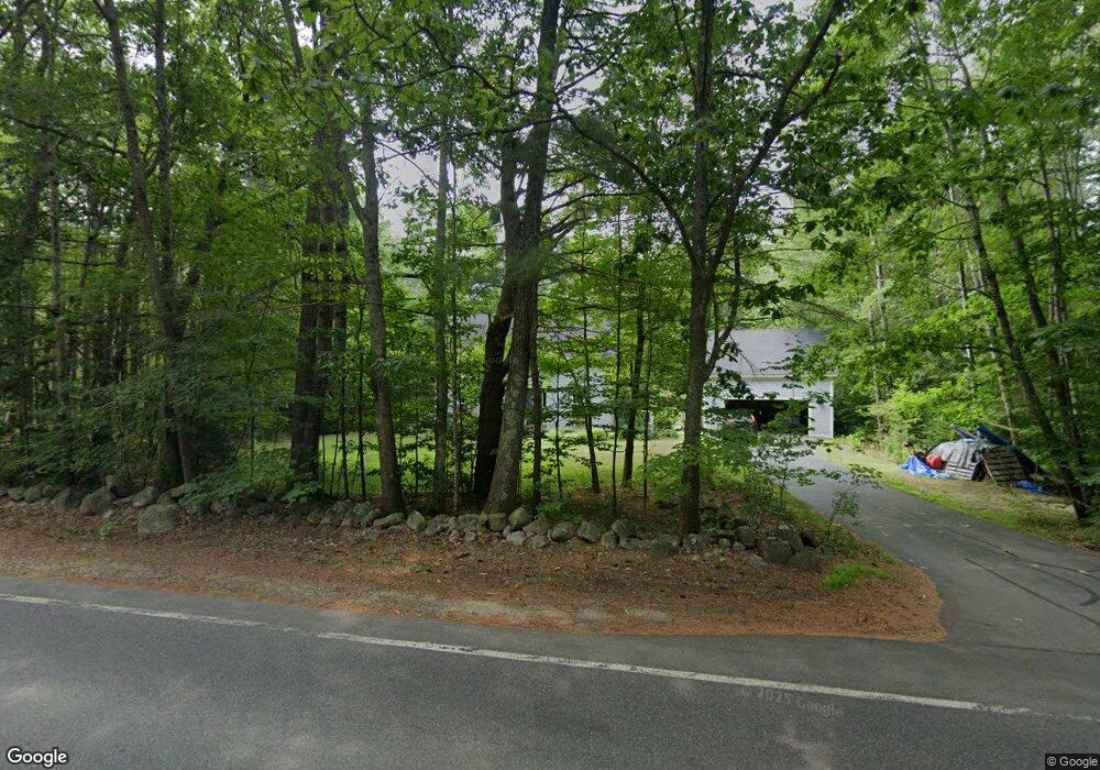
509 Governor Wentworth Hwy Wolfeboro, NH 03894
Estimated Value: $432,000 - $691,000
3
Beds
2
Baths
2,008
Sq Ft
$259/Sq Ft
Est. Value
About This Home
This home is located at 509 Governor Wentworth Hwy, Wolfeboro, NH 03894 and is currently estimated at $520,579, approximately $259 per square foot. 509 Governor Wentworth Hwy is a home located in Carroll County with nearby schools including Carpenter Elementary School, Crescent Lake School, and Kingswood Regional Middle School.
Ownership History
Date
Name
Owned For
Owner Type
Purchase Details
Closed on
Oct 21, 2023
Sold by
Savage James A and Savage Margaret J
Bought by
Savage Ft and Savage
Current Estimated Value
Purchase Details
Closed on
Aug 11, 2011
Sold by
Hertling Marilyn
Bought by
Savage James A and Savage Margaret J
Home Financials for this Owner
Home Financials are based on the most recent Mortgage that was taken out on this home.
Original Mortgage
$70,000
Interest Rate
4.51%
Mortgage Type
Purchase Money Mortgage
Create a Home Valuation Report for This Property
The Home Valuation Report is an in-depth analysis detailing your home's value as well as a comparison with similar homes in the area
Home Values in the Area
Average Home Value in this Area
Purchase History
| Date | Buyer | Sale Price | Title Company |
|---|---|---|---|
| Savage Ft | $425,866 | None Available | |
| Savage Ft | -- | None Available | |
| Savage James A | $216,000 | -- |
Source: Public Records
Mortgage History
| Date | Status | Borrower | Loan Amount |
|---|---|---|---|
| Previous Owner | Savage James A | $70,000 |
Source: Public Records
Tax History Compared to Growth
Tax History
| Year | Tax Paid | Tax Assessment Tax Assessment Total Assessment is a certain percentage of the fair market value that is determined by local assessors to be the total taxable value of land and additions on the property. | Land | Improvement |
|---|---|---|---|---|
| 2024 | $4,333 | $272,500 | $69,100 | $203,400 |
| 2023 | $4,003 | $272,500 | $69,100 | $203,400 |
| 2022 | $3,602 | $272,500 | $69,100 | $203,400 |
| 2021 | $3,588 | $262,500 | $69,100 | $193,400 |
| 2020 | $3,415 | $262,500 | $69,100 | $193,400 |
| 2019 | $3,371 | $212,800 | $60,100 | $152,700 |
| 2018 | $2,115 | $213,500 | $60,100 | $153,400 |
| 2017 | $3,198 | $213,500 | $60,100 | $153,400 |
| 2016 | $3,124 | $213,500 | $60,100 | $153,400 |
Source: Public Records
Map
Nearby Homes
- 475 Governor Wentworth Hwy
- 0 Camp Rd Unit 5022980
- 408 Governor Wentworth Hwy Unit 44
- 19 Cotton Mountain Rd
- 35 Westwood Dr
- 60 N Wakefield Rd
- 69 College Rd
- 42 Point Breeze Rd
- 78 College Rd
- 42 College Rd
- 883 Center St
- Map 102 L 4 Center St
- 1237 Center St
- Map 86 L 5 Haines Hill Rd
- 108 Whitten Neck Rd
- 00 Trask Mountain (Lot 3) Rd Unit 3
- 5 Trask Mountain Rd
- 10 Granite Ln
- 79 River St
- 29 Birch Hill Estates Rd
- 512 Governor Wentworth Hwy
- 512 Governor Wentworth Hwy
- 499 Governor Wentworth Hwy
- 499 Governor Wentworth Hwy
- 499 Governor Wentworth Hwy
- 524 Governor Wentworth Hwy
- 491 Governor Wentworth Hwy
- 493 Governor Wentworth Hwy
- 3 Ryefield Terrace
- 11 Ryefield Terrace
- 7 Ryefield Terrace
- 13 Ryefield Terrace
- 9 Ryefield Terrace
- 493 Governor Wentworth Hwy
- 4 Bryant Rd
- 490 Governor Wentworth Hwy
- 490 Governor Wentworth Hwy
- 534 Governor John Wentworth Hwy
- 14 Bryant Rd
- 9 Bryant Rd