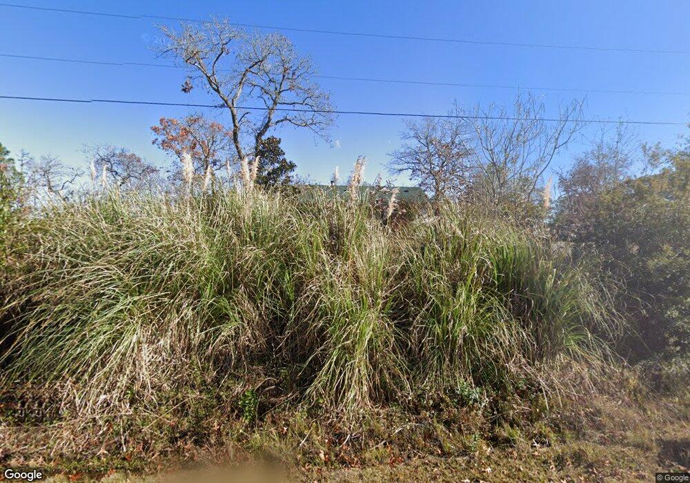
509 Lumbee Rd Southport, NC 28461
Estimated Value: $232,000 - $312,000
3
Beds
2
Baths
1,680
Sq Ft
$158/Sq Ft
Est. Value
About This Home
This home is located at 509 Lumbee Rd, Southport, NC 28461 and is currently estimated at $265,667, approximately $158 per square foot. 509 Lumbee Rd is a home located in Brunswick County with nearby schools including Bolivia Elementary School, South Brunswick Middle School, and South Brunswick High School.
Ownership History
Date
Name
Owned For
Owner Type
Purchase Details
Closed on
Oct 27, 2011
Sold by
Gregory Cole L
Bought by
Gregory Cole L and Gregory Mary Ann
Current Estimated Value
Purchase Details
Closed on
Apr 9, 2010
Sold by
The Bank Of New York Mellon
Bought by
Gregory Cole L
Purchase Details
Closed on
Feb 3, 2010
Sold by
Henderson
Bought by
Gregory Cole L
Purchase Details
Closed on
Oct 28, 2009
Sold by
The Bank Of New York Mellon
Bought by
Henderson James Leonard and Henderson Lois Jean
Purchase Details
Closed on
Sep 30, 2009
Sold by
Henderson Lois J and Henderson James Leonard
Bought by
The Bank Of New York Mellon
Purchase Details
Closed on
Aug 4, 2009
Sold by
Clucas Gregory and Clucas Nicki
Bought by
Imb Reo Llc
Create a Home Valuation Report for This Property
The Home Valuation Report is an in-depth analysis detailing your home's value as well as a comparison with similar homes in the area
Home Values in the Area
Average Home Value in this Area
Purchase History
| Date | Buyer | Sale Price | Title Company |
|---|---|---|---|
| Gregory Cole L | -- | None Available | |
| Gregory Cole L | -- | None Available | |
| Gregory Cole L | $89,450 | None Available | |
| Henderson James Leonard | $113,337 | None Available | |
| The Bank Of New York Mellon | -- | None Available | |
| Imb Reo Llc | $189,170 | None Available |
Source: Public Records
Tax History Compared to Growth
Tax History
| Year | Tax Paid | Tax Assessment Tax Assessment Total Assessment is a certain percentage of the fair market value that is determined by local assessors to be the total taxable value of land and additions on the property. | Land | Improvement |
|---|---|---|---|---|
| 2025 | $1,708 | $283,490 | $31,500 | $251,990 |
| 2024 | $1,708 | $283,490 | $31,500 | $251,990 |
| 2023 | $1,188 | $283,490 | $31,500 | $251,990 |
| 2022 | $1,188 | $135,130 | $22,500 | $112,630 |
| 2021 | $1,174 | $135,130 | $22,500 | $112,630 |
| 2020 | $1,104 | $135,130 | $22,500 | $112,630 |
| 2019 | $1,104 | $49,740 | $22,500 | $27,240 |
| 2018 | $1,281 | $46,860 | $17,000 | $29,860 |
| 2017 | $1,249 | $46,860 | $17,000 | $29,860 |
| 2016 | $1,224 | $46,860 | $17,000 | $29,860 |
| 2015 | $1,224 | $161,740 | $17,000 | $144,740 |
| 2014 | $1,152 | $171,779 | $25,500 | $146,279 |
Source: Public Records
Map
Nearby Homes
- 515 Mohawk Rd
- 1601 Navajo Rd
- 436 Cherokee Rd
- Retreat Plan at Boiling Spring Lakes
- Prelude Plan at Boiling Spring Lakes
- Nest Plan at Boiling Spring Lakes
- Garrett Plan at Boiling Spring Lakes
- Escape Plan at Boiling Spring Lakes
- 424 Cherokee Rd
- 496 Alton Lennon Dr
- Lot 19 Brooke Ridge Ln
- Lot 20 Brooke Ridge Ln
- Lot # 21 Brooke Ridge Ln
- Lot 2 Brooke Ridge Ln
- Lot 1 Brooke Ridge Ln
- 1711 Reidsville Rd
- 1621 Raeford Rd
- 963 Wimberley Rd
- 183 Forest Ln
- 1113 Twin Lakes Dr