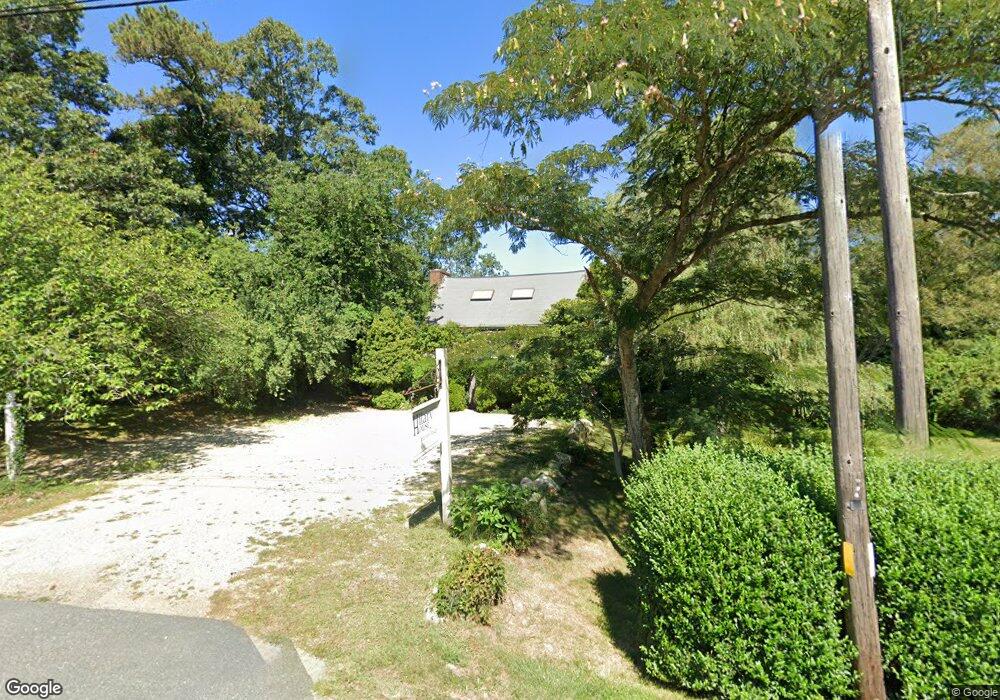
509 Main St Brewster, MA 02631
Estimated Value: $718,000 - $1,168,872
3
Beds
2
Baths
1,682
Sq Ft
$604/Sq Ft
Est. Value
About This Home
This home is located at 509 Main St, Brewster, MA 02631 and is currently estimated at $1,016,468, approximately $604 per square foot. 509 Main St is a home located in Barnstable County with nearby schools including Stony Brook Elementary School, Eddy Elementary School, and Nauset Regional Middle School.
Ownership History
Date
Name
Owned For
Owner Type
Purchase Details
Closed on
Sep 3, 2008
Sold by
Sullivan Hilary Ann and Hickok Hilary S
Bought by
Sullivan John W and Sullivan Kathryn
Current Estimated Value
Create a Home Valuation Report for This Property
The Home Valuation Report is an in-depth analysis detailing your home's value as well as a comparison with similar homes in the area
Home Values in the Area
Average Home Value in this Area
Purchase History
| Date | Buyer | Sale Price | Title Company |
|---|---|---|---|
| Sullivan John W | -- | -- |
Source: Public Records
Tax History Compared to Growth
Tax History
| Year | Tax Paid | Tax Assessment Tax Assessment Total Assessment is a certain percentage of the fair market value that is determined by local assessors to be the total taxable value of land and additions on the property. | Land | Improvement |
|---|---|---|---|---|
| 2025 | $7,264 | $1,055,800 | $765,900 | $289,900 |
| 2024 | $6,785 | $996,400 | $722,500 | $273,900 |
| 2023 | $6,222 | $890,200 | $645,000 | $245,200 |
| 2022 | $5,833 | $743,000 | $537,400 | $205,600 |
| 2021 | $5,550 | $646,800 | $467,100 | $179,700 |
| 2020 | $5,504 | $638,500 | $467,100 | $171,400 |
| 2019 | $5,263 | $613,400 | $449,300 | $164,100 |
| 2018 | $5,015 | $607,200 | $449,300 | $157,900 |
| 2017 | $5,015 | $597,700 | $449,300 | $148,400 |
| 2016 | $4,888 | $579,800 | $440,600 | $139,200 |
| 2015 | $4,690 | $567,800 | $431,800 | $136,000 |
Source: Public Records
Map
Nearby Homes
- 117 A p Newcomb Rd
- 0 Ridgewood Dr
- 80 Abby Rd
- 0 Canoe Pond Dr
- 87 Coles Pond Dr
- 88 Whiffletree Ave
- 92 Whiffletree Ave
- 132 Leland Rd
- 70 Run Hill Rd
- 429 Paines Creek Rd
- 21 Sea Meadow Ln
- 102 Wildwood Rd
- 20 Spring Ln
- 11 Island Creek Ln
- 53 Brier Ln
- 55 Monument View Rd
- 240 Robbins Hill Rd
- 232 Robbins Hill Rd