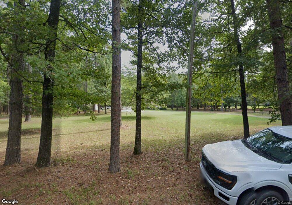
509 Monk Rd White Hall, AR 71602
Estimated Value: $185,000 - $240,000
3
Beds
2
Baths
1,904
Sq Ft
$113/Sq Ft
Est. Value
About This Home
This home is located at 509 Monk Rd, White Hall, AR 71602 and is currently estimated at $215,884, approximately $113 per square foot. 509 Monk Rd is a home located in Jefferson County with nearby schools including Matthews Elementary School, Dollarway High School, and White Hall Christian Academy.
Ownership History
Date
Name
Owned For
Owner Type
Purchase Details
Closed on
Sep 30, 2019
Bought by
Horn Rose Mary and Horn Larry D
Current Estimated Value
Purchase Details
Closed on
Sep 27, 2006
Sold by
Lee John Edward and Lee Jeanine
Bought by
Tomboli Ned L and Tomboli Eddye J
Purchase Details
Closed on
Sep 3, 1998
Bought by
Lee John Edward and Lee Wf
Purchase Details
Closed on
Jul 28, 1997
Bought by
Lee John Edward and 507 Monk Rd
Create a Home Valuation Report for This Property
The Home Valuation Report is an in-depth analysis detailing your home's value as well as a comparison with similar homes in the area
Home Values in the Area
Average Home Value in this Area
Purchase History
| Date | Buyer | Sale Price | Title Company |
|---|---|---|---|
| Horn Rose Mary | $164,000 | -- | |
| Tomboli Ned L | -- | -- | |
| Lee John Edward | -- | -- | |
| Lee John Edward | -- | -- |
Source: Public Records
Tax History
| Year | Tax Paid | Tax Assessment Tax Assessment Total Assessment is a certain percentage of the fair market value that is determined by local assessors to be the total taxable value of land and additions on the property. | Land | Improvement |
|---|---|---|---|---|
| 2025 | $1,924 | $40,410 | $3,500 | $36,910 |
| 2024 | $1,776 | $40,410 | $3,500 | $36,910 |
| 2023 | $1,628 | $40,410 | $3,500 | $36,910 |
| 2022 | $1,302 | $25,800 | $1,980 | $23,820 |
| 2021 | $1,302 | $25,800 | $1,980 | $23,820 |
| 2020 | $1,302 | $25,800 | $1,980 | $23,820 |
| 2019 | $1,302 | $25,800 | $1,980 | $23,820 |
| 2018 | $893 | $25,800 | $1,980 | $23,820 |
| 2017 | $893 | $24,640 | $1,980 | $22,660 |
| 2016 | $893 | $24,640 | $1,980 | $22,660 |
| 2015 | $1,237 | $24,640 | $1,980 | $22,660 |
| 2014 | -- | $24,640 | $1,980 | $22,660 |
Source: Public Records
Map
Nearby Homes
- 1003 Camp Rd
- Lot 020 930-37727-000
- Lot 011 W Jones Ave
- Lot 004 W Webb Ave
- 10101 U S 270
- 10115 Highway 270
- 9403 U S 270
- 1920 Allbritton Dr
- TBD Elkins Rd
- 1013 Michael Ann Dr
- 10636 Highway 270
- 199 Hardin Reed Rd
- 0 Michael Ann Dr
- 209 Clark Rd
- 0 Mcdaniel
- 8800 Highway 270
- 1107 Katie Ln
- 102 Farah Dr
- 10200 Dollarway Rd
- 0000 Lanni Ln
Your Personal Tour Guide
Ask me questions while you tour the home.
