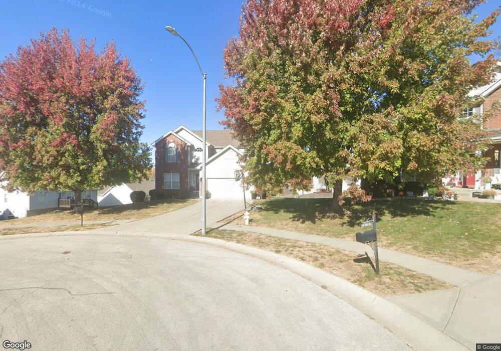
509 Sherry Ln Liberty, MO 64068
Estimated Value: $364,000 - $412,000
3
Beds
3
Baths
2,259
Sq Ft
$172/Sq Ft
Est. Value
About This Home
This home is located at 509 Sherry Ln, Liberty, MO 64068 and is currently estimated at $388,127, approximately $171 per square foot. 509 Sherry Ln is a home located in Clay County with nearby schools including Alexander Doniphan Elementary School, Discovery Middle School, and Liberty High School.
Ownership History
Date
Name
Owned For
Owner Type
Purchase Details
Closed on
Jun 20, 2006
Sold by
Mcbride & Son Homes Kansas City Llc
Bought by
Taylor Todd J and Taylor Amy M
Current Estimated Value
Home Financials for this Owner
Home Financials are based on the most recent Mortgage that was taken out on this home.
Original Mortgage
$164,000
Outstanding Balance
$94,391
Interest Rate
6.58%
Mortgage Type
Purchase Money Mortgage
Estimated Equity
$293,736
Create a Home Valuation Report for This Property
The Home Valuation Report is an in-depth analysis detailing your home's value as well as a comparison with similar homes in the area
Home Values in the Area
Average Home Value in this Area
Purchase History
| Date | Buyer | Sale Price | Title Company |
|---|---|---|---|
| Taylor Todd J | -- | Thomson Title Corporation |
Source: Public Records
Mortgage History
| Date | Status | Borrower | Loan Amount |
|---|---|---|---|
| Open | Taylor Todd J | $164,000 |
Source: Public Records
Tax History
| Year | Tax Paid | Tax Assessment Tax Assessment Total Assessment is a certain percentage of the fair market value that is determined by local assessors to be the total taxable value of land and additions on the property. | Land | Improvement |
|---|---|---|---|---|
| 2025 | $4,114 | $58,840 | -- | -- |
| 2024 | $4,114 | $53,490 | -- | -- |
| 2023 | $4,184 | $53,490 | $0 | $0 |
| 2022 | $3,793 | $47,880 | $0 | $0 |
| 2021 | $3,763 | $47,880 | $6,650 | $41,230 |
| 2020 | $3,596 | $42,960 | $0 | $0 |
| 2019 | $3,595 | $42,959 | $6,080 | $36,879 |
Source: Public Records
Map
Nearby Homes
- 407 Glendale Rd
- 429 Pershing St
- 509 Belmont St
- Lot 2 Bent Oaks Dr
- 7503 N Lewis Ave
- 2116 Winding Woods Dr
- Lot 2A Oak Crest Dr
- 9010 Catherine Rd
- 1601 Dunwich Dr
- 405 Wherritt Ln
- 9008 NE 80th St
- 7629 N Booth Ave
- 7645 N Booth Ave
- 8915 NE 80th Terrace
- 7636 N Booth Ave
- 7644 N Booth Ave
- 7616 N Booth Ave
- 1561 Parkside Dr
- 6900 Fulton Rd
- 8325 NE 76th Terrace
- 505 Sherry Ln
- 617 Midjay Dr
- 613 Midjay Dr
- 621 Midjay Dr
- 506 Bancroft St
- 609 Midjay Dr
- 506 Bancroft Ave
- 502 Bancroft St
- 510 Bancroft Ave
- 510 Bancroft St
- 725 Midjay Dr
- 625 Midjay Dr
- 604 Glendale Rd
- 610 Glendale Rd
- 514 Bancroft St
- 504 Sherry Ln
- 600 Glendale Rd
- 518 Bancroft Ave
- 518 Bancroft St
- 705 Midjay Dr
Your Personal Tour Guide
Ask me questions while you tour the home.