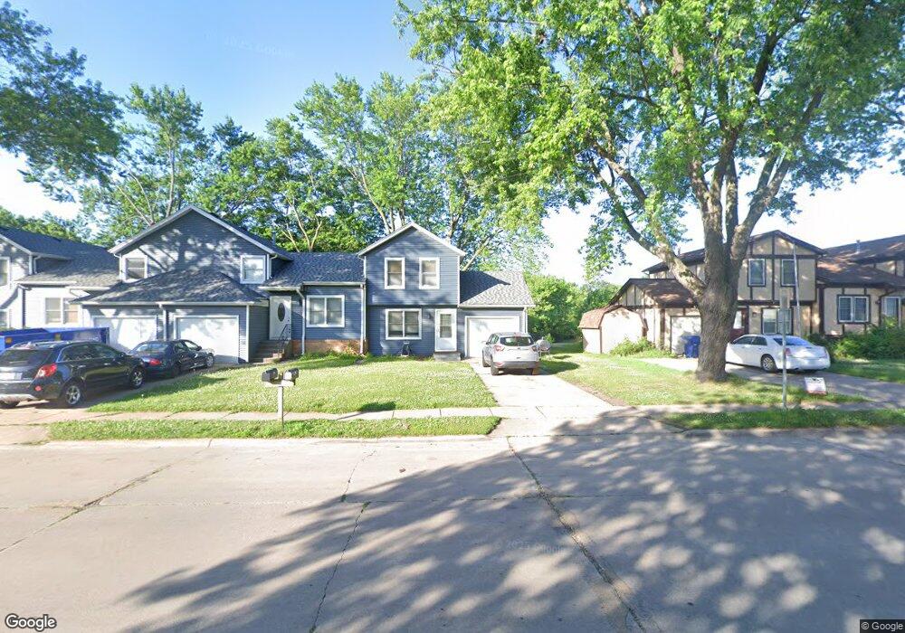
509 W 61st St Davenport, IA 52806
North Side NeighborhoodEstimated Value: $117,000 - $156,000
2
Beds
1
Bath
944
Sq Ft
$143/Sq Ft
Est. Value
About This Home
This home is located at 509 W 61st St, Davenport, IA 52806 and is currently estimated at $135,342, approximately $143 per square foot. 509 W 61st St is a home located in Scott County with nearby schools including Cumberland Hall School, Harrison Elementary School, and Academy Of Continuing Education.
Ownership History
Date
Name
Owned For
Owner Type
Purchase Details
Closed on
Aug 24, 2007
Sold by
Hearth & Home Real Estate Inc
Bought by
First Finanacial Group Lc
Current Estimated Value
Purchase Details
Closed on
Jun 4, 2007
Sold by
Herdrich Robert
Bought by
Hearth & Home Real Estate Inc
Create a Home Valuation Report for This Property
The Home Valuation Report is an in-depth analysis detailing your home's value as well as a comparison with similar homes in the area
Home Values in the Area
Average Home Value in this Area
Purchase History
| Date | Buyer | Sale Price | Title Company |
|---|---|---|---|
| First Finanacial Group Lc | $100,500 | None Available | |
| Hearth & Home Real Estate Inc | $99,001 | None Available |
Source: Public Records
Tax History Compared to Growth
Tax History
| Year | Tax Paid | Tax Assessment Tax Assessment Total Assessment is a certain percentage of the fair market value that is determined by local assessors to be the total taxable value of land and additions on the property. | Land | Improvement |
|---|---|---|---|---|
| 2025 | $1,540 | $91,610 | $14,310 | $77,300 |
| 2024 | $1,502 | $86,130 | $14,310 | $71,820 |
| 2023 | $1,494 | $86,130 | $14,310 | $71,820 |
| 2022 | $1,436 | $69,920 | $8,950 | $60,970 |
| 2021 | $1,436 | $66,930 | $8,950 | $57,980 |
| 2020 | $1,338 | $61,550 | $8,950 | $52,600 |
| 2019 | $1,340 | $59,750 | $8,950 | $50,800 |
| 2018 | $1,246 | $59,750 | $8,950 | $50,800 |
| 2017 | $1,290 | $56,770 | $8,950 | $47,820 |
| 2016 | $1,244 | $56,770 | $0 | $0 |
| 2015 | $1,244 | $62,370 | $0 | $0 |
| 2014 | $1,386 | $62,370 | $0 | $0 |
| 2013 | $1,362 | $0 | $0 | $0 |
| 2012 | -- | $54,060 | $9,420 | $44,640 |
Source: Public Records
Map
Nearby Homes
- 6112 Western Ave
- 6205 N Ripley St
- 655 W 64th St
- 665 W 64th St
- 671 W 64th St
- 6308 Appomattox Rd
- 6322 Appomattox Rd
- 6015 Vine St
- LOT 54 Franklin Ave
- Lot 56 Franklin Ave
- Lot 26 Benjamin Ct
- 1005 W 58th St
- 6127 Fair Ave
- 6209 Fair Ave
- 1033 W 58th St
- 6109 N Brady St
- 1301 W 62nd Ct
- 5735 Taylor St
- 5721 Taylor St
- 1415 W 59th St
- 507 W 61st St
- 505 W 61st St
- 515 W 61st St
- 503 W 61st St
- 517 W 61st St
- 519 W 61st St
- 506 W 61st St
- 516 W 61st St
- 6022 Scott St
- 521 W 61st St
- 6020 Scott St Unit 6022
- 6020 Scott St
- 6112 Scott St
- 601 W 61st St
- 6012 & 6014 Scott St
- 6012 & 6014 Scott St
- 6014 Scott St
- 415 W 61st St
- 6109 Western Ave Unit 11
- 416 W 61st St