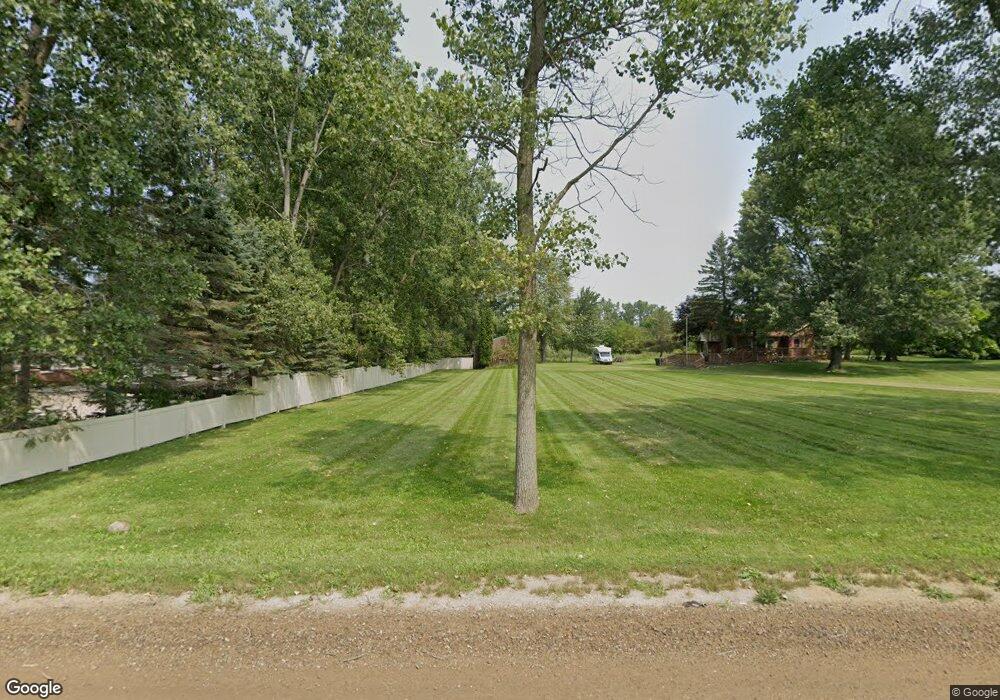
5093 Curdy Rd Howell, MI 48855
Estimated Value: $329,446 - $354,000
3
Beds
1
Bath
1,276
Sq Ft
$265/Sq Ft
Est. Value
About This Home
This home is located at 5093 Curdy Rd, Howell, MI 48855 and is currently estimated at $338,112, approximately $264 per square foot. 5093 Curdy Rd is a home located in Livingston County with nearby schools including Ruahmah J. Hutchings Elementary, Highlander Way Middle School, and Howell High School.
Ownership History
Date
Name
Owned For
Owner Type
Purchase Details
Closed on
Dec 11, 2013
Sold by
Stankowicz Judy F
Bought by
Stankowicz Judy F
Current Estimated Value
Purchase Details
Closed on
Jan 14, 2000
Sold by
Portell James R and Portell Constance B
Bought by
Stankowicz Judy F
Home Financials for this Owner
Home Financials are based on the most recent Mortgage that was taken out on this home.
Original Mortgage
$116,200
Interest Rate
8.08%
Create a Home Valuation Report for This Property
The Home Valuation Report is an in-depth analysis detailing your home's value as well as a comparison with similar homes in the area
Home Values in the Area
Average Home Value in this Area
Purchase History
| Date | Buyer | Sale Price | Title Company |
|---|---|---|---|
| Stankowicz Judy F | -- | -- | |
| Stankowicz Judy F | $166,000 | Blue Water Title Company |
Source: Public Records
Mortgage History
| Date | Status | Borrower | Loan Amount |
|---|---|---|---|
| Previous Owner | Stankowicz Judy F | $116,200 |
Source: Public Records
Tax History
| Year | Tax Paid | Tax Assessment Tax Assessment Total Assessment is a certain percentage of the fair market value that is determined by local assessors to be the total taxable value of land and additions on the property. | Land | Improvement |
|---|---|---|---|---|
| 2025 | $3,069 | $131,500 | $0 | $0 |
| 2024 | $2,979 | $124,400 | $0 | $0 |
| 2023 | $2,841 | $113,600 | $0 | $0 |
| 2022 | $597 | $93,900 | $0 | $0 |
| 2021 | $1,799 | $100,200 | $0 | $0 |
| 2020 | $1,832 | $93,900 | $0 | $0 |
| 2019 | $1,794 | $87,400 | $0 | $0 |
| 2018 | $1,773 | $86,200 | $0 | $0 |
| 2017 | $1,749 | $84,700 | $0 | $0 |
| 2016 | $1,739 | $82,100 | $0 | $0 |
| 2014 | $1,681 | $70,500 | $0 | $0 |
| 2012 | $1,681 | $69,100 | $0 | $0 |
Source: Public Records
Map
Nearby Homes
- V/L Argentine Rd
- 4800 Hidden Hills Cir Unit 17
- 000 N Latson Rd
- 000 VL N Latson Rd
- 5559 Radiant Ave
- 5154 E Highland Rd
- 4112 Peach Tree Ln
- 2300 Musson Rd
- 2981 Musson Rd
- 7739 Clyde Rd
- 0 Eager Unit 293099
- 7741 Clyde Rd
- 7753 Clyde Rd
- 1433 Callaway Ct Unit 258
- 1908 Nikki Ct
- The Austin Plan at Broadmoor
- The Charlotte Plan at Broadmoor
- The Harrison Plan at Broadmoor
- The Bloomington Plan at Broadmoor
- The Columbia Plan at Broadmoor
- 5085 Curdy Rd
- 5065 Curdy Rd
- 5191 Curdy Rd
- 5225 Curdy Rd
- 0000 Mack Rd
- 4140 Mack Rd
- PAR 3 Mack Rd
- 5239 Curdy Rd
- 5287 Curdy Rd
- 4242 Mack Rd
- 4233 Mack Rd
- 4985 Curdy Rd
- 4900 Curdy Rd
- 4241 Mack Rd
- 5343 Curdy Rd
- 0 Mack Unit 218059949
- 0 Mack Unit 217014199
- 0 Mack Unit R213076335
- 0 Mack Unit R213095661
- 0 Mack Unit R213095660
Your Personal Tour Guide
Ask me questions while you tour the home.