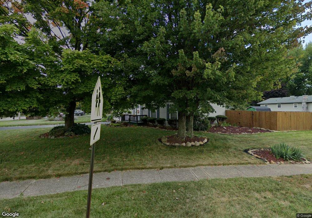
5095 Simon Rd Youngstown, OH 44512
Estimated Value: $189,052 - $218,000
3
Beds
2
Baths
1,996
Sq Ft
$102/Sq Ft
Est. Value
About This Home
This home is located at 5095 Simon Rd, Youngstown, OH 44512 and is currently estimated at $203,513, approximately $101 per square foot. 5095 Simon Rd is a home located in Mahoning County with nearby schools including Robinwood Lane Elementary School, Boardman Glenwood Junior High School, and Boardman High School.
Ownership History
Date
Name
Owned For
Owner Type
Purchase Details
Closed on
Dec 9, 2002
Sold by
Kubiak Dorothy J and Kubiak Dorothy J
Bought by
Clossin Robert J and Clossin Stephanie H
Current Estimated Value
Home Financials for this Owner
Home Financials are based on the most recent Mortgage that was taken out on this home.
Original Mortgage
$72,000
Outstanding Balance
$30,905
Interest Rate
6.23%
Estimated Equity
$172,608
Purchase Details
Closed on
May 12, 1986
Bought by
Kubiak Dorothy J
Create a Home Valuation Report for This Property
The Home Valuation Report is an in-depth analysis detailing your home's value as well as a comparison with similar homes in the area
Home Values in the Area
Average Home Value in this Area
Purchase History
| Date | Buyer | Sale Price | Title Company |
|---|---|---|---|
| Clossin Robert J | $90,000 | -- | |
| Kubiak Dorothy J | $53,000 | -- |
Source: Public Records
Mortgage History
| Date | Status | Borrower | Loan Amount |
|---|---|---|---|
| Open | Clossin Robert J | $72,000 | |
| Closed | Clossin Robert J | $18,000 |
Source: Public Records
Tax History Compared to Growth
Tax History
| Year | Tax Paid | Tax Assessment Tax Assessment Total Assessment is a certain percentage of the fair market value that is determined by local assessors to be the total taxable value of land and additions on the property. | Land | Improvement |
|---|---|---|---|---|
| 2024 | $2,543 | $50,060 | $5,570 | $44,490 |
| 2023 | $2,509 | $50,060 | $5,570 | $44,490 |
| 2022 | $2,519 | $38,470 | $5,430 | $33,040 |
| 2021 | $2,520 | $38,470 | $5,430 | $33,040 |
| 2020 | $2,533 | $38,470 | $5,430 | $33,040 |
| 2019 | $2,317 | $31,280 | $4,420 | $26,860 |
| 2018 | $2,023 | $31,280 | $4,420 | $26,860 |
| 2017 | $2,000 | $31,280 | $4,420 | $26,860 |
| 2016 | $1,955 | $30,260 | $4,940 | $25,320 |
| 2015 | $1,916 | $30,260 | $4,940 | $25,320 |
| 2014 | $1,921 | $30,260 | $4,940 | $25,320 |
| 2013 | $1,897 | $30,260 | $4,940 | $25,320 |
Source: Public Records
Map
Nearby Homes
- 744 Nellbert Ln
- 0 Mulberry Ln Unit 5119623
- 0 Cranberry Ln Unit 5119702
- 429 Tudor Ln
- 885 Afton Ave
- 4622 Simon Rd
- 4534 South Ave
- 0 Moyer Ave
- 0 Indianola Rd
- 323 Melrose Ave
- 4552 New England Blvd
- 268 Erskine Ave
- 928 Edenridge Dr
- 4212 South Ave
- 220 Afton Ave
- 796 Edenridge Dr
- 4197 South Ave
- 0 Lemoyne Ave
- 1720 Sequoya Dr
- 792 Forest Ridge Dr
- 5085 Simon Rd
- 820 Indianola Rd
- 5075 Simon Rd
- 828 Indianola Rd
- 794 Indianola Rd
- 779 Indianola Rd
- 5065 Simon Rd
- 5176 Simon Rd
- 836 Indianola Rd
- 773 Indianola Rd
- 5055 Simon Rd
- 788 Indianola Rd
- 5068 Simon Rd
- 844 Indianola Rd
- 767 Indianola Rd
- 761 Indianola Rd
- 784 Indianola Rd
- 850 Indianola Rd
- 5031 Simon Rd
- 5032 Simon Rd