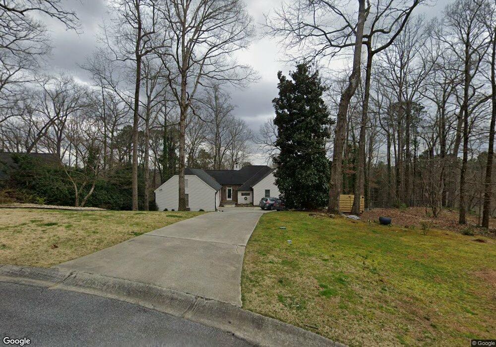
5096 Norseman Cir Unit 2B Marietta, GA 30068
East Cobb NeighborhoodEstimated Value: $743,000 - $822,464
3
Beds
4
Baths
2,312
Sq Ft
$335/Sq Ft
Est. Value
About This Home
This home is located at 5096 Norseman Cir Unit 2B, Marietta, GA 30068 and is currently estimated at $773,866, approximately $334 per square foot. 5096 Norseman Cir Unit 2B is a home located in Cobb County with nearby schools including Mount Bethel Elementary School, Dickerson Middle School, and Walton High School.
Ownership History
Date
Name
Owned For
Owner Type
Purchase Details
Closed on
Sep 2, 2003
Sold by
Botnick Harris J and Botnick Geri L
Bought by
Mojay Gabriel
Current Estimated Value
Purchase Details
Closed on
Apr 29, 1997
Sold by
Miller Peter C and Miller Lois E
Bought by
Botnick Harris J and Botnick Geri L
Home Financials for this Owner
Home Financials are based on the most recent Mortgage that was taken out on this home.
Original Mortgage
$178,400
Interest Rate
7.98%
Mortgage Type
New Conventional
Create a Home Valuation Report for This Property
The Home Valuation Report is an in-depth analysis detailing your home's value as well as a comparison with similar homes in the area
Home Values in the Area
Average Home Value in this Area
Purchase History
| Date | Buyer | Sale Price | Title Company |
|---|---|---|---|
| Mojay Gabriel | $302,000 | -- | |
| Botnick Harris J | $223,000 | -- |
Source: Public Records
Mortgage History
| Date | Status | Borrower | Loan Amount |
|---|---|---|---|
| Previous Owner | Botnick Harris J | $178,400 |
Source: Public Records
Tax History Compared to Growth
Tax History
| Year | Tax Paid | Tax Assessment Tax Assessment Total Assessment is a certain percentage of the fair market value that is determined by local assessors to be the total taxable value of land and additions on the property. | Land | Improvement |
|---|---|---|---|---|
| 2025 | $6,151 | $246,168 | $56,000 | $190,168 |
| 2024 | $6,156 | $246,168 | $56,000 | $190,168 |
| 2023 | $5,613 | $246,168 | $56,000 | $190,168 |
| 2022 | $5,880 | $231,416 | $50,000 | $181,416 |
| 2021 | $5,112 | $196,308 | $38,000 | $158,308 |
| 2020 | $5,112 | $196,308 | $38,000 | $158,308 |
| 2019 | $5,112 | $196,308 | $38,000 | $158,308 |
| 2018 | $5,112 | $196,308 | $38,000 | $158,308 |
| 2017 | $4,263 | $165,976 | $34,000 | $131,976 |
| 2016 | $3,495 | $131,024 | $36,000 | $95,024 |
| 2015 | $3,582 | $131,024 | $36,000 | $95,024 |
| 2014 | $3,613 | $131,024 | $0 | $0 |
Source: Public Records
Map
Nearby Homes
- 1720 Little Willeo Rd
- 5122 Timber Ridge Rd
- 5140 Timber Ridge Rd
- 5150 Timber Ridge Rd
- 1804 Shelburne Ridge
- 1525 Huntingford Dr
- 4871 Karls Gate Dr
- 5184 Deering Trail Unit 2
- 2066 Old Forge Way
- 1961 Fields Pond Dr
- 1929 Fields Pond Glen
- 2039 Old Forge Way
- 1382 Huntingford Dr Unit 2
- 1420 Lafayette Ln
- 1731 E Bank Dr
- 4789 Waterhaven Bend
- 5100 Norseman Cir Unit 2B
- 5092 Norseman Cir
- 5093 Viking Walk
- 1682 Nordic Trace
- 0 Norseman Cir
- 5099 Norseman Cir
- 1715 Little Willeo Rd
- 5097 Viking Walk
- 1705 Little Willeo Rd
- 1698 Nordic Trace
- 1755 Little Willeo Rd
- 5095 Norseman Cir Unit 2B
- 1775 Little Willeo Rd
- 1695 Little Willeo Rd Unit 3
- 0 Viking Walk
- 1681 Nordic Trace
- 1704 Nordic Trace Unit 2B
- 1687 Nordic Trace Unit 2
- 1675 Nordic Trace
- 1693 Nordic Trace