Estimated Value: $316,000 - $360,000
3
Beds
2
Baths
1,456
Sq Ft
$228/Sq Ft
Est. Value
About This Home
This home is located at 5098 S Dupont Hwy, Dover, DE 19901 and is currently estimated at $332,078, approximately $228 per square foot. 5098 S Dupont Hwy is a home with nearby schools including Nellie Hughes Stokes Elementary School, Fred Fifer Middle School, and Caesar Rodney High School.
Ownership History
Date
Name
Owned For
Owner Type
Purchase Details
Closed on
Jan 9, 2017
Sold by
Walker Samuel Derby
Bought by
Derby Partnership Llc
Current Estimated Value
Home Financials for this Owner
Home Financials are based on the most recent Mortgage that was taken out on this home.
Original Mortgage
$400,000
Outstanding Balance
$337,596
Interest Rate
5%
Mortgage Type
Purchase Money Mortgage
Estimated Equity
-$5,518
Create a Home Valuation Report for This Property
The Home Valuation Report is an in-depth analysis detailing your home's value as well as a comparison with similar homes in the area
Home Values in the Area
Average Home Value in this Area
Purchase History
| Date | Buyer | Sale Price | Title Company |
|---|---|---|---|
| Derby Partnership Llc | $500,000 | None Available |
Source: Public Records
Mortgage History
| Date | Status | Borrower | Loan Amount |
|---|---|---|---|
| Open | Derby Partnership Llc | $400,000 |
Source: Public Records
Tax History Compared to Growth
Tax History
| Year | Tax Paid | Tax Assessment Tax Assessment Total Assessment is a certain percentage of the fair market value that is determined by local assessors to be the total taxable value of land and additions on the property. | Land | Improvement |
|---|---|---|---|---|
| 2025 | $1,319 | $333,900 | $136,000 | $197,900 |
| 2024 | $1,319 | $333,900 | $136,000 | $197,900 |
| 2023 | $938 | $37,100 | $9,400 | $27,700 |
| 2022 | $885 | $37,100 | $9,400 | $27,700 |
| 2021 | $877 | $37,100 | $9,400 | $27,700 |
| 2020 | $863 | $37,100 | $9,400 | $27,700 |
| 2019 | $828 | $37,100 | $9,400 | $27,700 |
| 2018 | $798 | $37,100 | $9,400 | $27,700 |
| 2017 | $775 | $37,100 | $0 | $0 |
| 2016 | $759 | $37,100 | $0 | $0 |
| 2015 | -- | $37,100 | $0 | $0 |
| 2014 | -- | $37,100 | $0 | $0 |
Source: Public Records
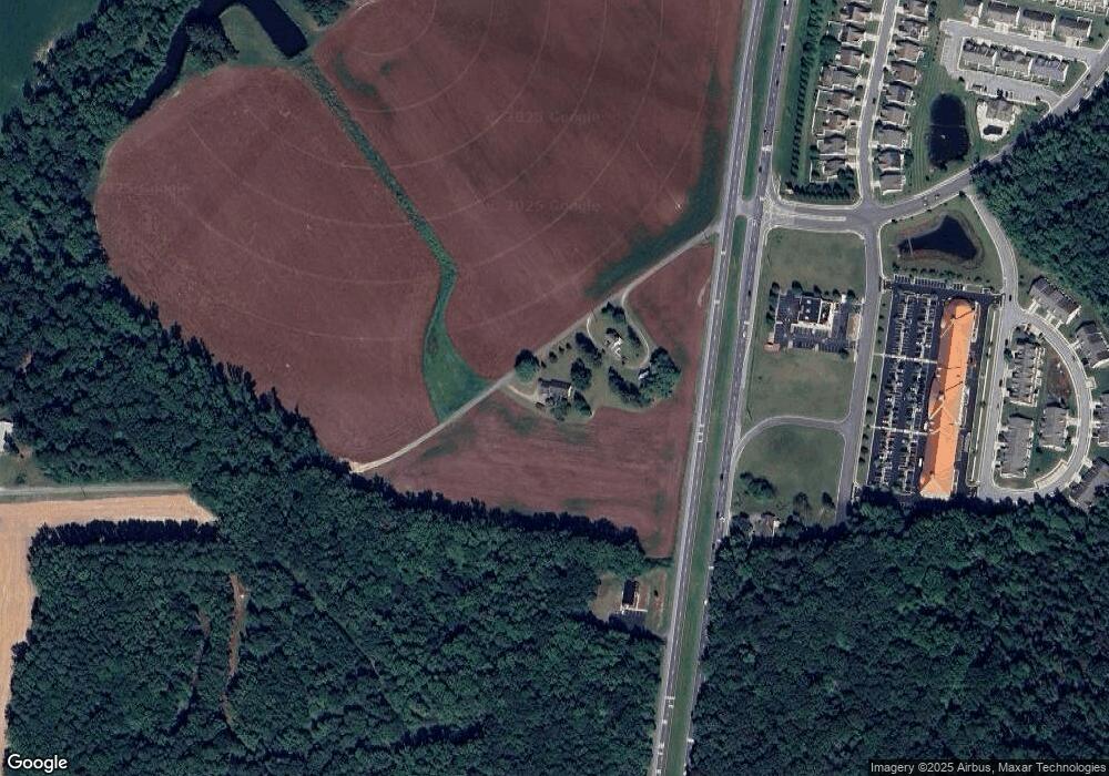
Map
Nearby Homes
- 133 Candor Ln
- 21 Starfire Ct
- 45 Harcrest Ct
- 3182 Upper King Rd
- 1731 Upper King Rd
- 104 Lake Front Dr
- 1224 Barney Jenkins Rd
- 21 Crowberry Dr
- 0 Fleming St
- 78 Cove Rd
- 1022 Fawn Haven Walk
- 459 Currant Cir
- 173 Currant Cir
- 454 Currant Cir
- 193 Currant Cir
- 108 Lochmeath Way
- 850 Brookfield Dr
- 870 Brookfield Dr
- Aster Plan at Brookfield
- Linden Plan at Brookfield
- 5094 S Dupont Hwy
- 5268 S Dupont Hwy
- 5254 S Dupont Hwy
- 5117 S Dupont Hwy
- 5756 S Dupont Hwy
- 5172 S Dupont Hwy
- 5792 S Dupont Hwy
- 5158 S Dupont Hwy
- 5149 S Dupont Hwy
- 4400 S Red Haven Ln
- 4300 S Red Haven Ln
- 4100 S Red Haven Ln
- 412 N Red Haven Ln
- 0 S Red Haven Ln Unit 1006962736
- 0 S Red Haven Ln Unit 1006585220
- 0 S Red Haven Ln Unit 1006326676
- 0 S Red Haven Ln Unit 1001071200
- 0 S Red Haven Ln Unit 1009559172
- 404 N Red Haven Ln
- 392 N Red Haven Ln