L
Seller's Agent in 2021
Lynn Jared
The Realty Firm #2
(931) 260-0626
30 Total Sales
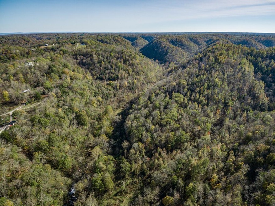

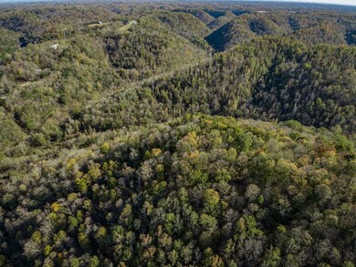
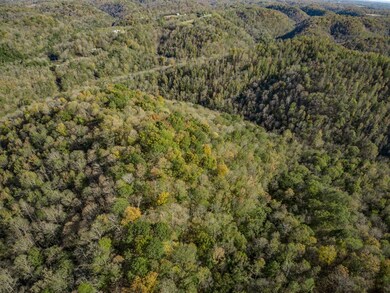
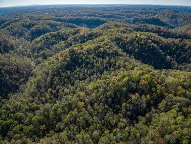
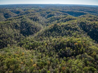
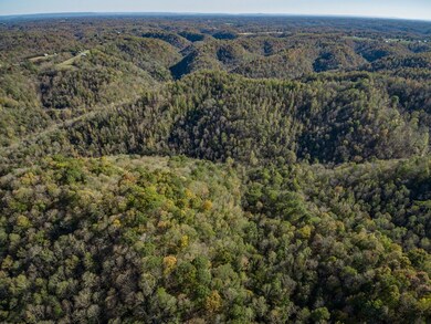
This home is located at 51.27 Ac McBroom Branch Rd, Baxter, TN 38544 since 29 October 2020. 51.27 Ac McBroom Branch Rd is a home located in Putnam County with nearby schools including Baxter Primary School, Cornerstone Elementary School, and Upperman Middle School.
Last Agent to Sell the Property
The Realty Firm #2 Brokerage Phone: 9315207750 License #357078 Listed on: 10/29/2020
Last Buyer's Agent
Lynn Jared
The Realty Firm #2
| Date | Event | Price | List to Sale | Price per Sq Ft |
|---|---|---|---|---|
| 10/13/2021 10/13/21 | Sold | $68,000 | 0.0% | -- |
| 01/01/1970 01/01/70 | Off Market | $68,000 | -- | -- |
L
Seller's Agent in 2021
Lynn Jared
The Realty Firm #2
(931) 260-0626
30 Total Sales
Source: Upper Cumberland Association of REALTORS®
MLS Number: 201279
Disclaimer: Certain information contained herein is derived from information provided by parties other than Homes.com. All information provided is deemed reliable, but is not guaranteed to be accurate and should be independently verified.
![]() Copyright 2026 Upper Cumberland Board of Realtors. All rights reserved. Information deemed to be reliable but not guaranteed. The data relating to real estate for sale on this website comes from Upper Cumberland Board of Realtors.
Copyright 2026 Upper Cumberland Board of Realtors. All rights reserved. Information deemed to be reliable but not guaranteed. The data relating to real estate for sale on this website comes from Upper Cumberland Board of Realtors.
Some or all of the listings displayed may not belong to the firm whose website is being visited.
Ask me questions while you tour the home.
