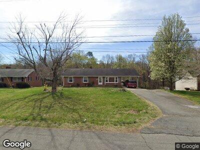
51 Arita Cir Winston Salem, NC 27105
Montview-Ogburn Station NeighborhoodEstimated Value: $133,000 - $195,000
3
Beds
2
Baths
2,688
Sq Ft
$65/Sq Ft
Est. Value
About This Home
This home is located at 51 Arita Cir, Winston Salem, NC 27105 and is currently estimated at $174,553, approximately $64 per square foot. 51 Arita Cir is a home located in Forsyth County with nearby schools including Mineral Springs Elementary, Mineral Springs Middle School, and Carver High.
Ownership History
Date
Name
Owned For
Owner Type
Purchase Details
Closed on
Aug 25, 2008
Sold by
U S Bank Na
Bought by
Espinal Jose I
Current Estimated Value
Purchase Details
Closed on
Apr 21, 2008
Sold by
Saucedo Jorge
Bought by
U S Bank Na
Purchase Details
Closed on
Aug 6, 2004
Sold by
Jenkins Lawaskia F and Jenkins Fannie W
Bought by
Saucedo Jorge
Home Financials for this Owner
Home Financials are based on the most recent Mortgage that was taken out on this home.
Original Mortgage
$73,430
Interest Rate
8%
Mortgage Type
Purchase Money Mortgage
Create a Home Valuation Report for This Property
The Home Valuation Report is an in-depth analysis detailing your home's value as well as a comparison with similar homes in the area
Home Values in the Area
Average Home Value in this Area
Purchase History
| Date | Buyer | Sale Price | Title Company |
|---|---|---|---|
| Espinal Jose I | $65,000 | None Available | |
| U S Bank Na | $81,417 | None Available | |
| Saucedo Jorge | $105,000 | -- |
Source: Public Records
Mortgage History
| Date | Status | Borrower | Loan Amount |
|---|---|---|---|
| Previous Owner | Saucedo Jorge | $73,430 | |
| Previous Owner | Jenkins Lawaskia F | $64,000 | |
| Previous Owner | Jenkins Lawaskia F | $10,000 | |
| Closed | Saucedo Jorge | $31,470 |
Source: Public Records
Tax History Compared to Growth
Tax History
| Year | Tax Paid | Tax Assessment Tax Assessment Total Assessment is a certain percentage of the fair market value that is determined by local assessors to be the total taxable value of land and additions on the property. | Land | Improvement |
|---|---|---|---|---|
| 2023 | $1,296 | $96,800 | $24,200 | $72,600 |
| 2022 | $1,272 | $96,800 | $24,200 | $72,600 |
| 2021 | $1,249 | $96,800 | $24,200 | $72,600 |
| 2020 | $809 | $58,600 | $13,800 | $44,800 |
| 2019 | $815 | $58,600 | $13,800 | $44,800 |
| 2018 | $774 | $58,600 | $13,800 | $44,800 |
| 2016 | $741 | $56,305 | $13,369 | $42,936 |
| 2015 | $730 | $56,305 | $13,369 | $42,936 |
| 2014 | $708 | $56,305 | $13,369 | $42,936 |
Source: Public Records
Map
Nearby Homes
- 5304 Northridge Dr
- 4312 Oak Pointe Dr
- 0 Motor Rd Unit 1181944
- 545 Shamel Ct
- 5550 Brookfield Ridge Dr
- 0 Methodist Dr
- 917 Motor Rd
- 4478 Ogburn Ave
- 4210 Shamel St
- 335 Styers Rd
- 4798 Cherry St
- 317 Styers Rd
- 415 Burnham Dr
- 312 Forest Hill Ave
- 5501 Legare Dr
- 5622 Ruth Ave
- 0 Winnipeg St
- 0 Old Rural Hall Rd Unit 1179032
- 228 Barlow Cir
- 241 Forest Hill Ave