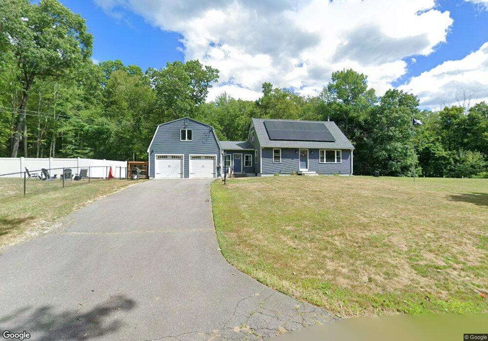
51 Bennett Rd Fitchburg, MA 01420
Estimated Value: $371,000 - $450,000
2
Beds
1
Bath
1,155
Sq Ft
$359/Sq Ft
Est. Value
About This Home
This home is located at 51 Bennett Rd, Fitchburg, MA 01420 and is currently estimated at $414,319, approximately $358 per square foot. 51 Bennett Rd is a home located in Worcester County with nearby schools including Crocker Elementary School, Fitchburg High School, and South Street Elementary School.
Ownership History
Date
Name
Owned For
Owner Type
Purchase Details
Closed on
May 8, 2019
Sold by
Christian Mark and Mara-Christian Maryellen
Bought by
Pelletier Brad J
Current Estimated Value
Home Financials for this Owner
Home Financials are based on the most recent Mortgage that was taken out on this home.
Original Mortgage
$152,500
Outstanding Balance
$133,531
Interest Rate
4%
Mortgage Type
New Conventional
Estimated Equity
$280,788
Purchase Details
Closed on
Aug 10, 2016
Sold by
Heisson John E Est
Bought by
Christian Mark and Mara-Christian Maryellen
Purchase Details
Closed on
Jan 1, 1965
Bought by
Heisson John E and Heisson Gladys B
Create a Home Valuation Report for This Property
The Home Valuation Report is an in-depth analysis detailing your home's value as well as a comparison with similar homes in the area
Home Values in the Area
Average Home Value in this Area
Purchase History
| Date | Buyer | Sale Price | Title Company |
|---|---|---|---|
| Pelletier Brad J | $182,500 | -- | |
| Christian Mark | $90,000 | -- | |
| Heisson John E | -- | -- |
Source: Public Records
Mortgage History
| Date | Status | Borrower | Loan Amount |
|---|---|---|---|
| Open | Pelletier Brad J | $152,500 |
Source: Public Records
Tax History Compared to Growth
Tax History
| Year | Tax Paid | Tax Assessment Tax Assessment Total Assessment is a certain percentage of the fair market value that is determined by local assessors to be the total taxable value of land and additions on the property. | Land | Improvement |
|---|---|---|---|---|
| 2025 | $51 | $374,900 | $123,800 | $251,100 |
| 2024 | $4,382 | $295,900 | $93,300 | $202,600 |
| 2023 | $4,224 | $263,700 | $80,800 | $182,900 |
| 2022 | $4,087 | $232,100 | $73,600 | $158,500 |
| 2021 | $4,392 | $230,800 | $72,100 | $158,700 |
| 2020 | $4,336 | $220,000 | $69,100 | $150,900 |
| 2019 | $3,942 | $192,400 | $67,400 | $125,000 |
| 2018 | $3,855 | $183,500 | $66,800 | $116,700 |
| 2017 | $3,468 | $161,400 | $66,800 | $94,600 |
| 2016 | $3,384 | $159,400 | $66,800 | $92,600 |
| 2015 | $3,236 | $156,500 | $65,100 | $91,400 |
| 2014 | $3,155 | $159,100 | $68,100 | $91,000 |
Source: Public Records
Map
Nearby Homes
- 277 Stoneybrook Rd
- 1088 Ashby State Rd
- 1249 Richardson Rd
- Lot 7 Old Northfield Rd
- Lot 6 Old Northfield Rd
- Lot 8 Old Northfield Rd
- Lot 3 Old Northfield Rd
- 794 Ashburnham Hill Rd
- 179 Ashby State Rd
- 550 Rindge Rd
- 1 High Rock Rd
- 0 Rindge Rd
- 182 Sheldon Rd
- 344 Pearl Hill Rd
- 705 Richardson Rd
- 15 Will Thompson Way
- 468 Elm St Unit 3
- 218 Marshall St
- 58 Stone Brook Ln
- 91 Deer Bay Rd