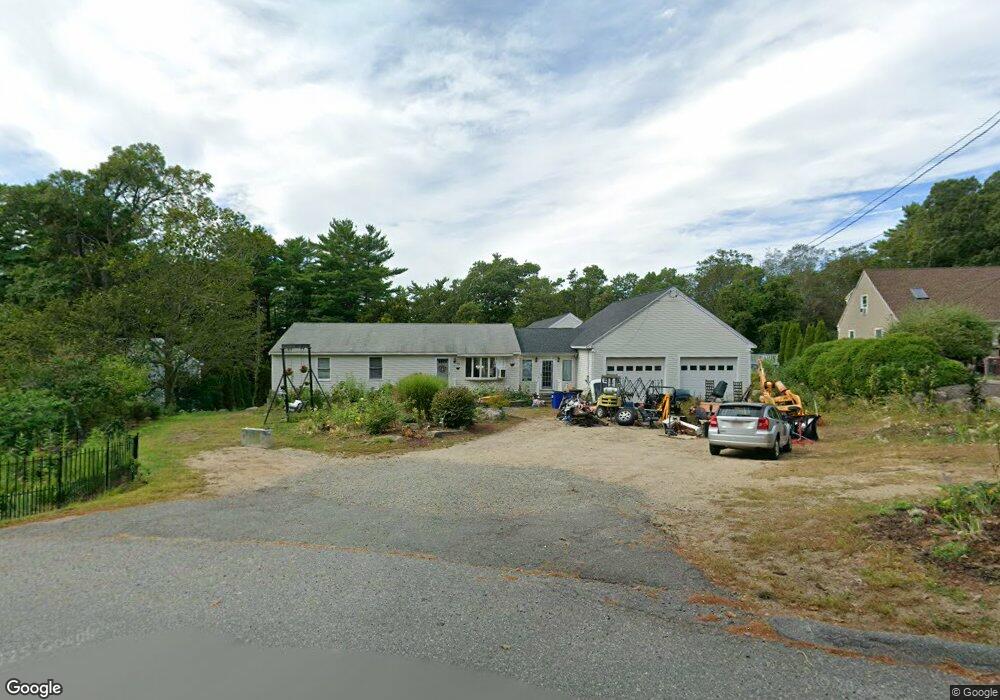
51 Bennett St S Gloucester, MA 01930
Estimated Value: $890,000 - $1,337,000
3
Beds
3
Baths
2,940
Sq Ft
$392/Sq Ft
Est. Value
About This Home
This home is located at 51 Bennett St S, Gloucester, MA 01930 and is currently estimated at $1,153,818, approximately $392 per square foot. 51 Bennett St S is a home located in Essex County with nearby schools including Plum Cove School, Ralph B O'maley Middle School, and Gloucester High School.
Ownership History
Date
Name
Owned For
Owner Type
Purchase Details
Closed on
May 25, 1993
Sold by
Fryklund Donald L
Bought by
Brown Stephen F and Brown Lisa
Current Estimated Value
Create a Home Valuation Report for This Property
The Home Valuation Report is an in-depth analysis detailing your home's value as well as a comparison with similar homes in the area
Purchase History
| Date | Buyer | Sale Price | Title Company |
|---|---|---|---|
| Brown Stephen F | $139,250 | -- |
Source: Public Records
Mortgage History
| Date | Status | Borrower | Loan Amount |
|---|---|---|---|
| Open | Brown Stephen F | $105,000 | |
| Open | Brown Stephen F | $359,650 | |
| Closed | Brown Stephen F | $76,400 | |
| Closed | Brown Stephen F | $330,000 |
Source: Public Records
Tax History
| Year | Tax Paid | Tax Assessment Tax Assessment Total Assessment is a certain percentage of the fair market value that is determined by local assessors to be the total taxable value of land and additions on the property. | Land | Improvement |
|---|---|---|---|---|
| 2025 | $8,599 | $884,700 | $223,400 | $661,300 |
| 2024 | $8,402 | $863,500 | $212,700 | $650,800 |
| 2023 | $8,490 | $801,700 | $189,900 | $611,800 |
| 2022 | $7,451 | $635,200 | $165,100 | $470,100 |
| 2021 | $7,157 | $575,300 | $150,200 | $425,100 |
| 2020 | $6,806 | $552,000 | $150,200 | $401,800 |
| 2019 | $5,023 | $395,800 | $150,200 | $245,600 |
| 2018 | $5,703 | $441,100 | $150,200 | $290,900 |
| 2017 | $5,636 | $427,300 | $143,000 | $284,300 |
| 2016 | $5,475 | $402,300 | $149,200 | $253,100 |
| 2015 | $5,382 | $394,300 | $149,200 | $245,100 |
Source: Public Records
Map
Nearby Homes
- 672 Washington St
- 136 Leonard St
- 4 Ciaramitaro Ct
- 2 Breezy Point Rd
- 3 Deacon Farm Ln
- 226 Atlantic St
- 31 Echo Ave
- 178 Atlantic St
- 13 Honeysuckle Rd
- 167 Atlantic St
- 9 Hickory St
- 1030 Washington St
- 43 High St Unit B
- 10 Emerald St
- 13 Mystic Ave
- 177 Main St
- 33 Quarry Ridge Ln Unit 33
- 8 Mystic Ave
- 3 Rockland St
- 5 Boulder Top
- 49 Bennett St S
- 53 Bennett St S
- 47 Bennett St S
- 55 Bennett St S
- 60 Bennett St S
- 45 Bennett St S
- 59 Bennett St S
- 43 Bennett St S
- 64 Dennison St
- 62 Bennett St S
- 60 Dennison St
- 63 Bennett St S
- 52 Bennett St S
- 82 Dennison St
- 50 Bennett St S
- 44 Dennison St
- 41R Bennett St S
- 41 Bennett St S
- 48 Bennett St S
- 65 Dennison St
Your Personal Tour Guide
Ask me questions while you tour the home.