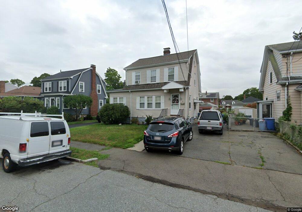
51 Bruce Rd Waltham, MA 02453
Warrendale NeighborhoodEstimated Value: $785,000 - $904,000
3
Beds
2
Baths
1,549
Sq Ft
$547/Sq Ft
Est. Value
About This Home
This home is located at 51 Bruce Rd, Waltham, MA 02453 and is currently estimated at $846,666, approximately $546 per square foot. 51 Bruce Rd is a home located in Middlesex County with nearby schools including James Fitzgerald Elementary School, John W. Mcdevitt Middle School, and Waltham Sr High School.
Ownership History
Date
Name
Owned For
Owner Type
Purchase Details
Closed on
Jun 15, 1987
Sold by
Bergantino Mary A
Bought by
Pokornicki Stephen
Current Estimated Value
Home Financials for this Owner
Home Financials are based on the most recent Mortgage that was taken out on this home.
Original Mortgage
$95,000
Interest Rate
10.47%
Mortgage Type
Purchase Money Mortgage
Create a Home Valuation Report for This Property
The Home Valuation Report is an in-depth analysis detailing your home's value as well as a comparison with similar homes in the area
Home Values in the Area
Average Home Value in this Area
Purchase History
| Date | Buyer | Sale Price | Title Company |
|---|---|---|---|
| Pokornicki Stephen | $196,900 | -- |
Source: Public Records
Mortgage History
| Date | Status | Borrower | Loan Amount |
|---|---|---|---|
| Closed | Pokornicki Stephen | $25,000 | |
| Closed | Pokornicki Stephen | $90,000 | |
| Closed | Pokornicki Stephen | $2,500 | |
| Closed | Pokornicki Stephen | $95,000 |
Source: Public Records
Tax History
| Year | Tax Paid | Tax Assessment Tax Assessment Total Assessment is a certain percentage of the fair market value that is determined by local assessors to be the total taxable value of land and additions on the property. | Land | Improvement |
|---|---|---|---|---|
| 2025 | $7,174 | $730,500 | $449,500 | $281,000 |
| 2024 | $6,806 | $706,000 | $427,800 | $278,200 |
| 2023 | $6,881 | $666,800 | $406,000 | $260,800 |
| 2022 | $6,966 | $625,300 | $377,000 | $248,300 |
| 2021 | $6,930 | $612,200 | $377,000 | $235,200 |
| 2020 | $6,743 | $564,300 | $348,000 | $216,300 |
| 2019 | $6,574 | $519,300 | $340,600 | $178,700 |
| 2018 | $5,992 | $475,200 | $315,400 | $159,800 |
| 2017 | $5,604 | $446,200 | $286,400 | $159,800 |
| 2016 | $4,973 | $406,300 | $246,500 | $159,800 |
| 2015 | $4,790 | $364,800 | $217,500 | $147,300 |
Source: Public Records
Map
Nearby Homes
- 51 Warren St Unit 1-3
- 78 Barbara Rd Unit 1
- 31 Warren St Unit B-1
- 21 Warren St Unit 2-4
- 40 Whitman Rd Unit 2-1
- 17 Tennyson Rd
- 67 Longfellow Rd
- 54 Clements Rd
- 22 Grove St Unit 2
- 40 Grove St Unit 1
- 59 Farnum Rd
- 157 Grove St Unit 2
- 29 Puritan Rd
- 136 Willow St
- 3 Repton Cir Unit 3210
- 220 Grove St Unit 1
- 10 Naviens Ln Unit 2
- 10 Naviens Ln Unit 1
- 36 Brandley Rd Unit 38
- 38 Brandley Rd
Your Personal Tour Guide
Ask me questions while you tour the home.