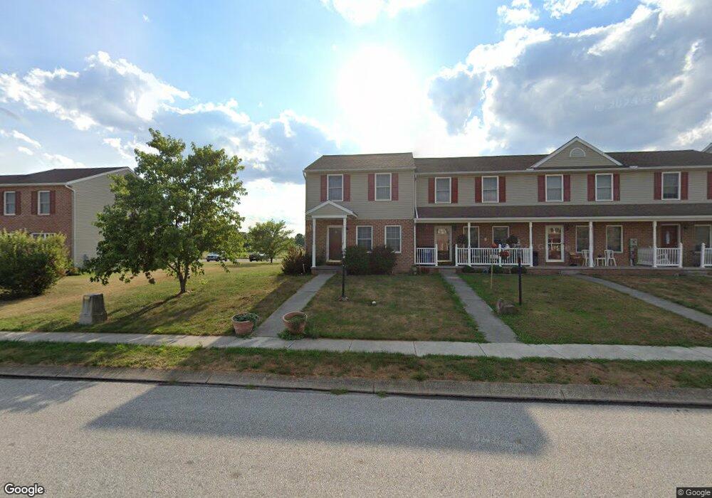
51 Cannon Ln Unit 119 Gettysburg, PA 17325
Estimated Value: $193,000 - $239,000
2
Beds
2
Baths
1,200
Sq Ft
$181/Sq Ft
Est. Value
About This Home
This home is located at 51 Cannon Ln Unit 119, Gettysburg, PA 17325 and is currently estimated at $217,633, approximately $181 per square foot. 51 Cannon Ln Unit 119 is a home located in Adams County with nearby schools including Rolling Acres El School, Maple Avenue Middle School, and Littlestown Senior High School.
Ownership History
Date
Name
Owned For
Owner Type
Purchase Details
Closed on
Feb 4, 2014
Sold by
Dutterer Levi A and Dutterer Joelen R
Bought by
Dutterer Levi A
Current Estimated Value
Home Financials for this Owner
Home Financials are based on the most recent Mortgage that was taken out on this home.
Original Mortgage
$131,550
Outstanding Balance
$88,256
Interest Rate
4.5%
Mortgage Type
New Conventional
Estimated Equity
$129,377
Purchase Details
Closed on
Feb 17, 2009
Sold by
Malone Michael
Bought by
Dutterer Levi A and Dutterer Jolene R
Home Financials for this Owner
Home Financials are based on the most recent Mortgage that was taken out on this home.
Original Mortgage
$139,400
Interest Rate
5.06%
Mortgage Type
New Conventional
Create a Home Valuation Report for This Property
The Home Valuation Report is an in-depth analysis detailing your home's value as well as a comparison with similar homes in the area
Home Values in the Area
Average Home Value in this Area
Purchase History
| Date | Buyer | Sale Price | Title Company |
|---|---|---|---|
| Dutterer Levi A | -- | Boston National Title Agency | |
| Dutterer Levi A | $154,900 | -- |
Source: Public Records
Mortgage History
| Date | Status | Borrower | Loan Amount |
|---|---|---|---|
| Open | Dutterer Levi A | $131,550 | |
| Closed | Dutterer Levi A | $139,400 |
Source: Public Records
Tax History Compared to Growth
Tax History
| Year | Tax Paid | Tax Assessment Tax Assessment Total Assessment is a certain percentage of the fair market value that is determined by local assessors to be the total taxable value of land and additions on the property. | Land | Improvement |
|---|---|---|---|---|
| 2025 | $2,902 | $149,700 | $32,500 | $117,200 |
| 2024 | $2,777 | $149,700 | $32,500 | $117,200 |
| 2023 | $2,723 | $149,700 | $32,500 | $117,200 |
| 2022 | $2,704 | $149,700 | $32,500 | $117,200 |
| 2021 | $2,610 | $149,700 | $32,500 | $117,200 |
| 2020 | $2,573 | $149,700 | $32,500 | $117,200 |
| 2019 | $2,520 | $149,700 | $32,500 | $117,200 |
| 2018 | $2,466 | $149,700 | $32,500 | $117,200 |
| 2017 | $2,391 | $149,700 | $32,500 | $117,200 |
| 2016 | -- | $149,700 | $32,500 | $117,200 |
| 2015 | -- | $149,700 | $32,500 | $117,200 |
| 2014 | -- | $149,700 | $32,500 | $117,200 |
Source: Public Records
Map
Nearby Homes
- 48 Cannon Ln Unit 105
- 27 Maple St
- 8 Maple St
- 25 Harvest Dr
- 28 Bonniefield Cir Unit 25
- 13 N Pine St
- 67 Cedarfield Dr
- 1 Hickory Ave
- 549 Grant Dr Unit 549
- 780 White Hall Rd
- 871 Sherman Dr Unit 871
- 2746 Baltimore Pike
- 948 Heritage Dr Unit 948
- 464 Locust Ln
- 860 Bon Ox Rd
- 198 Longstreet Dr Unit 198
- 279 Longstreet Dr Unit 279
- 930 Hoffman Rd
- 1365 Hanover Rd Unit 15
- 151 Clapsaddle Rd
- 49 Cannon Ln Unit 118
- 53 Cannon Ln Unit 120
- 47 Cannon Ln Unit 117
- 45 Cannon Ln Unit 116
- 55 Cannon Ln Unit 121
- 57 Cannon Ln Unit 122
- 43 Cannon Ln Unit 115
- 59 Cannon Ln Unit 123
- 52 Cannon Ln Unit 107
- 61 Cannon Ln Unit 124
- 56 Cannon Ln Unit 109
- 50 Cannon Ln Unit 106
- 46 Cannon Ln Unit 104
- 54 Cannon Ln Unit 108
- 44 Cannon Ln Unit 10
- 42 Cannon Ln Unit 102
- 34 Homestead Dr Unit 81
- 67 Cannon Ln Unit 125
- 58 Cannon Ln Unit 110
- 40 Cannon Ln Unit 101