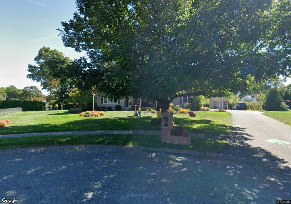
51 Carriage Ln West Springfield, MA 01089
Estimated Value: $534,180 - $575,000
4
Beds
3
Baths
2,230
Sq Ft
$249/Sq Ft
Est. Value
About This Home
This home is located at 51 Carriage Ln, West Springfield, MA 01089 and is currently estimated at $555,795, approximately $249 per square foot. 51 Carriage Ln is a home located in Hampden County with nearby schools including West Springfield High School, Hampden Charter School of Science West, and St Thomas The Apostle School.
Ownership History
Date
Name
Owned For
Owner Type
Purchase Details
Closed on
Jun 30, 2000
Sold by
Cali Richard J and Cali Gail A
Bought by
Gorman Gary M and Gorman Christine J
Current Estimated Value
Home Financials for this Owner
Home Financials are based on the most recent Mortgage that was taken out on this home.
Original Mortgage
$168,100
Interest Rate
8.59%
Mortgage Type
Purchase Money Mortgage
Purchase Details
Closed on
Jun 28, 1999
Sold by
Victor Shibley Homes
Bought by
Cali Richard J and Cali Gail A
Create a Home Valuation Report for This Property
The Home Valuation Report is an in-depth analysis detailing your home's value as well as a comparison with similar homes in the area
Home Values in the Area
Average Home Value in this Area
Purchase History
| Date | Buyer | Sale Price | Title Company |
|---|---|---|---|
| Gorman Gary M | $289,900 | -- | |
| Cali Richard J | $234,900 | -- |
Source: Public Records
Mortgage History
| Date | Status | Borrower | Loan Amount |
|---|---|---|---|
| Open | Cali Richard J | $159,000 | |
| Closed | Cali Richard J | $125,000 | |
| Closed | Cali Richard J | $168,100 | |
| Previous Owner | Cali Richard J | $20,000 |
Source: Public Records
Tax History Compared to Growth
Tax History
| Year | Tax Paid | Tax Assessment Tax Assessment Total Assessment is a certain percentage of the fair market value that is determined by local assessors to be the total taxable value of land and additions on the property. | Land | Improvement |
|---|---|---|---|---|
| 2025 | $7,147 | $480,600 | $158,100 | $322,500 |
| 2024 | $6,753 | $456,000 | $158,100 | $297,900 |
| 2023 | $6,563 | $422,300 | $164,100 | $258,200 |
| 2022 | $5,989 | $380,000 | $149,100 | $230,900 |
| 2021 | $6,299 | $372,700 | $157,500 | $215,200 |
| 2020 | $6,296 | $370,600 | $157,500 | $213,100 |
| 2019 | $6,285 | $370,600 | $157,500 | $213,100 |
| 2018 | $6,319 | $370,600 | $157,500 | $213,100 |
| 2017 | $6,319 | $370,600 | $157,500 | $213,100 |
| 2016 | $6,312 | $371,500 | $151,800 | $219,700 |
| 2015 | $6,183 | $363,900 | $148,500 | $215,400 |
| 2014 | $1,504 | $363,900 | $148,500 | $215,400 |
Source: Public Records
Map
Nearby Homes
- 75 Birnie Ave
- 86 Birnie Ave
- 89 Vincent Dr
- 43 Wishing Well Way
- 34 High Meadow Dr
- Lot 3 Hyde Rd
- 236 Forest Glen
- 64 Apple Ridge Rd
- 36 Shady Brook
- 59 Beech Hill Rd
- 81 Laurence Dr
- 32 Windpath E
- 147 Grandview Ave
- 26 Clayton Dr
- 9 Annie's Way
- 11 Annie's Way
- 12 Victorian Dr
- 114 Connecticut Ave
- 80 Brush Hill Ave Unit 35
- 80 Brush Hill Ave Unit 28