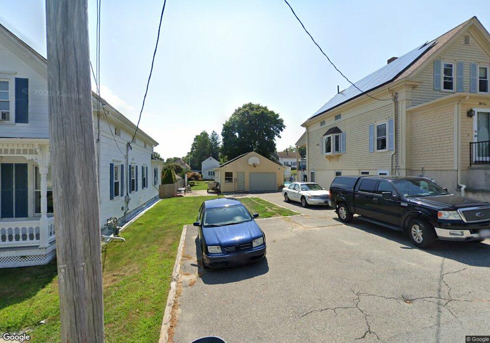
51 Clark St Somerset, MA 02726
Somerset Historic Village NeighborhoodEstimated Value: $525,000 - $540,000
5
Beds
2
Baths
1,439
Sq Ft
$368/Sq Ft
Est. Value
About This Home
This home is located at 51 Clark St, Somerset, MA 02726 and is currently estimated at $529,879, approximately $368 per square foot. 51 Clark St is a home located in Bristol County with nearby schools including North Elementary School and Somerset Middle School.
Ownership History
Date
Name
Owned For
Owner Type
Purchase Details
Closed on
Mar 27, 1997
Sold by
Community Rlty Corp
Bought by
Sypko Stephen D and Menezes Herbert J
Current Estimated Value
Home Financials for this Owner
Home Financials are based on the most recent Mortgage that was taken out on this home.
Original Mortgage
$54,400
Outstanding Balance
$6,849
Interest Rate
7.59%
Mortgage Type
Purchase Money Mortgage
Estimated Equity
$523,030
Create a Home Valuation Report for This Property
The Home Valuation Report is an in-depth analysis detailing your home's value as well as a comparison with similar homes in the area
Home Values in the Area
Average Home Value in this Area
Purchase History
| Date | Buyer | Sale Price | Title Company |
|---|---|---|---|
| Sypko Stephen D | $59,400 | -- | |
| Sypko Stephen D | $59,400 | -- |
Source: Public Records
Mortgage History
| Date | Status | Borrower | Loan Amount |
|---|---|---|---|
| Open | Sypko Stephen D | $25,000 | |
| Open | Sypko Stephen D | $54,400 | |
| Closed | Sypko Stephen D | $54,400 |
Source: Public Records
Tax History Compared to Growth
Tax History
| Year | Tax Paid | Tax Assessment Tax Assessment Total Assessment is a certain percentage of the fair market value that is determined by local assessors to be the total taxable value of land and additions on the property. | Land | Improvement |
|---|---|---|---|---|
| 2025 | $5,990 | $450,400 | $181,300 | $269,100 |
| 2024 | $5,614 | $438,900 | $181,300 | $257,600 |
| 2023 | $5,123 | $404,000 | $157,500 | $246,500 |
| 2022 | $4,738 | $356,500 | $136,100 | $220,400 |
| 2021 | $4,774 | $325,200 | $123,100 | $202,100 |
| 2020 | $4,656 | $305,900 | $123,200 | $182,700 |
| 2019 | $5,344 | $292,800 | $123,200 | $169,600 |
| 2018 | $4,598 | $271,100 | $119,400 | $151,700 |
| 2017 | $4,503 | $258,800 | $113,900 | $144,900 |
| 2016 | $4,532 | $258,800 | $113,900 | $144,900 |
| 2015 | $4,313 | $248,600 | $108,800 | $139,800 |
| 2014 | $5,726 | $237,100 | $105,700 | $131,400 |
Source: Public Records
Map
Nearby Homes
- 0 Palmer St
- 190 Gibbs St
- 22 Riverside Dr
- 112 Rounseville Ave
- 5455 N Main St Unit 14B
- 5455 N Main St Unit 12A
- 5455 N Main St Unit 18A
- 259 Lynch Ave
- 602 Regan Rd
- 107 Manchester Ave
- 345 Chace St
- 53 Riley Ave
- 435 Fairway Dr
- 3076 County St
- 4234 N Main St Unit 103
- 95 Samson Ave
- 122 Robin Ln
- 95 Brookside Rd
- 3896 N Main St
- 65 Marvel St