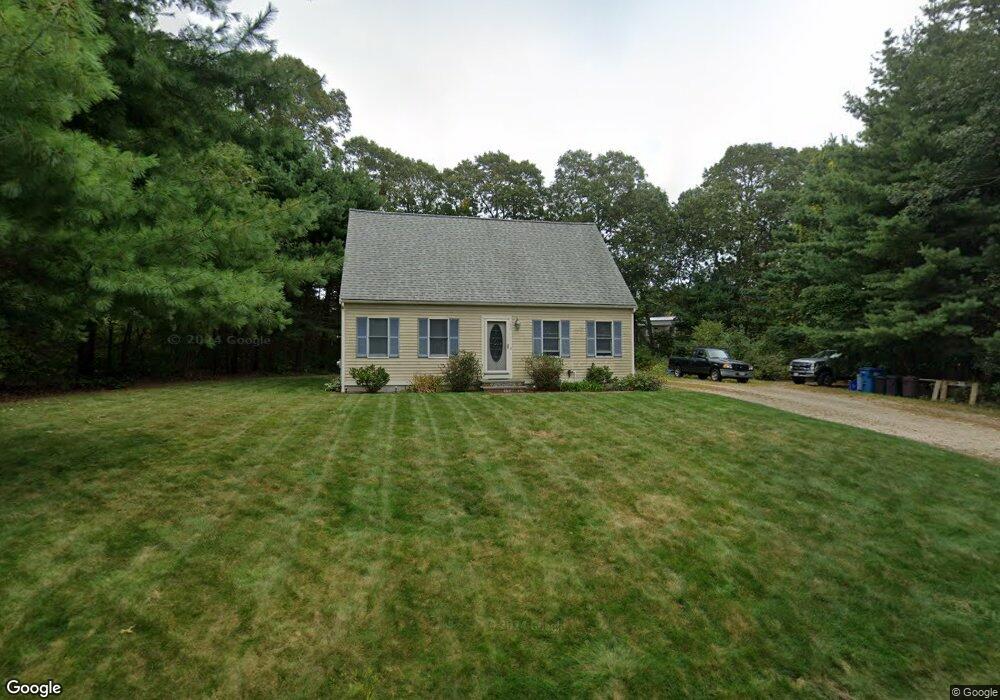
51 Clearwater Dr East Falmouth, MA 02536
Hatchville NeighborhoodEstimated Value: $473,000 - $549,000
2
Beds
1
Bath
936
Sq Ft
$551/Sq Ft
Est. Value
About This Home
This home is located at 51 Clearwater Dr, East Falmouth, MA 02536 and is currently estimated at $515,945, approximately $551 per square foot. 51 Clearwater Dr is a home located in Barnstable County with nearby schools including Mullen-Hall School, Morse Pond School, and Lawrence School.
Ownership History
Date
Name
Owned For
Owner Type
Purchase Details
Closed on
Aug 20, 1997
Sold by
Hersey Volney F and Hersey Vickie L
Bought by
Crocker Stanley O and Crocker Michelle L
Current Estimated Value
Home Financials for this Owner
Home Financials are based on the most recent Mortgage that was taken out on this home.
Original Mortgage
$88,000
Interest Rate
7.42%
Mortgage Type
Purchase Money Mortgage
Create a Home Valuation Report for This Property
The Home Valuation Report is an in-depth analysis detailing your home's value as well as a comparison with similar homes in the area
Home Values in the Area
Average Home Value in this Area
Purchase History
| Date | Buyer | Sale Price | Title Company |
|---|---|---|---|
| Crocker Stanley O | $39,900 | -- | |
| Crocker Stanley O | $39,900 | -- |
Source: Public Records
Mortgage History
| Date | Status | Borrower | Loan Amount |
|---|---|---|---|
| Open | Crocker Stanley O | $85,000 | |
| Closed | Crocker Stanley O | $88,000 |
Source: Public Records
Tax History Compared to Growth
Tax History
| Year | Tax Paid | Tax Assessment Tax Assessment Total Assessment is a certain percentage of the fair market value that is determined by local assessors to be the total taxable value of land and additions on the property. | Land | Improvement |
|---|---|---|---|---|
| 2025 | $2,518 | $428,900 | $164,700 | $264,200 |
| 2024 | $2,488 | $396,100 | $156,000 | $240,100 |
| 2023 | $2,500 | $361,200 | $156,000 | $205,200 |
| 2022 | $2,301 | $285,900 | $117,600 | $168,300 |
| 2021 | $2,187 | $257,300 | $112,500 | $144,800 |
| 2020 | $2,123 | $247,100 | $102,300 | $144,800 |
| 2019 | $2,079 | $242,900 | $102,300 | $140,600 |
| 2018 | $2,061 | $239,700 | $102,300 | $137,400 |
| 2017 | $1,997 | $234,100 | $102,300 | $131,800 |
| 2016 | $1,959 | $234,100 | $102,300 | $131,800 |
| 2015 | $1,917 | $234,100 | $102,300 | $131,800 |
| 2014 | $1,938 | $237,800 | $107,700 | $130,100 |
Source: Public Records
Map
Nearby Homes
- 68 Deepwood Dr
- 17 Pinewood Dr
- 25 Harris Hill Rd
- 59 Whitecaps Dr
- 590 Sandwich Rd
- 70 Meredith Dr
- 100 Tanglewood Dr
- 12 Rock Hollow Dr
- 66 Braxton Rd
- 32 Jamie Ln
- 273 Sandwich Rd
- 149 Brick Kiln Rd
- 3 Viber Ln
- 12 Beach Plum Path
- 130 Old Barnstable Rd
- 33 John Parker Rd
- 35 Old Barnstable Rd
- 47 Shallow Pond Ln
- 809 Sandwich Rd
- 41 Tamarack Rd
- 61 Clearwater Dr
- 39 Tamarack Rd
- 54 Clearwater Dr
- 46 Clearwater Dr
- 60 Clearwater Dr
- 50 Clearwater Dr
- 67 Clearwater Dr
- 42 Clearwater Dr
- 33 Tamarack Rd
- 40 Tamarack Rd
- 38 Clearwater Dr
- 66 Clearwater Dr
- 44 Tamarack Rd
- 30 Tamarack Rd
- 180 Lake Shore Dr
- 182 Lake Shore Dr
- 178 Lake Shore Dr
- 73 Clearwater Dr
- 32 Clearwater Dr