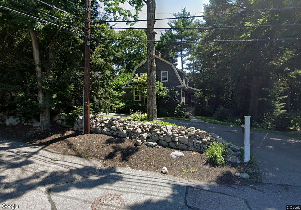
51 Curve St Wellesley, MA 02482
Wellesley Square NeighborhoodEstimated Value: $1,779,000 - $2,116,708
4
Beds
4
Baths
3,454
Sq Ft
$566/Sq Ft
Est. Value
About This Home
This home is located at 51 Curve St, Wellesley, MA 02482 and is currently estimated at $1,956,677, approximately $566 per square foot. 51 Curve St is a home located in Norfolk County with nearby schools including Sprague Elementary School, Wellesley Middle School, and Wellesley Sr High School.
Ownership History
Date
Name
Owned For
Owner Type
Purchase Details
Closed on
Nov 17, 2023
Sold by
Phillips John D and Phillips Lisa R
Bought by
John D Phillips Ret and Phillips
Current Estimated Value
Purchase Details
Closed on
Jun 3, 2002
Sold by
Geddes Jeffrey A
Bought by
Phillips John D and Phillips Lisa R
Purchase Details
Closed on
Jun 14, 1999
Sold by
Place H Calvin H and Place Nancy H
Bought by
Geddes Jeffrey A and Geddes Kristen
Purchase Details
Closed on
Dec 14, 1990
Sold by
Clark George H
Bought by
Place H Calvin
Purchase Details
Closed on
Jun 1, 1988
Sold by
Walker Jeffrey S
Bought by
Clark George H
Create a Home Valuation Report for This Property
The Home Valuation Report is an in-depth analysis detailing your home's value as well as a comparison with similar homes in the area
Home Values in the Area
Average Home Value in this Area
Purchase History
| Date | Buyer | Sale Price | Title Company |
|---|---|---|---|
| John D Phillips Ret | -- | None Available | |
| Phillips John D | $846,000 | -- | |
| Geddes Jeffrey A | $529,000 | -- | |
| Place H Calvin | $295,000 | -- | |
| Place H Calvin | $295,000 | -- | |
| Clark George H | $400,000 | -- |
Source: Public Records
Mortgage History
| Date | Status | Borrower | Loan Amount |
|---|---|---|---|
| Previous Owner | Clark George H | $300,000 | |
| Previous Owner | Clark George H | $275,600 |
Source: Public Records
Tax History
| Year | Tax Paid | Tax Assessment Tax Assessment Total Assessment is a certain percentage of the fair market value that is determined by local assessors to be the total taxable value of land and additions on the property. | Land | Improvement |
|---|---|---|---|---|
| 2025 | $16,366 | $1,592,000 | $1,101,000 | $491,000 |
| 2024 | $15,355 | $1,475,000 | $1,001,000 | $474,000 |
| 2023 | $15,160 | $1,324,000 | $887,000 | $437,000 |
| 2022 | $13,490 | $1,155,000 | $761,000 | $394,000 |
| 2021 | $13,184 | $1,122,000 | $728,000 | $394,000 |
| 2020 | $12,300 | $1,064,000 | $728,000 | $336,000 |
| 2019 | $11,929 | $1,031,000 | $695,000 | $336,000 |
| 2018 | $11,950 | $1,000,000 | $646,000 | $354,000 |
| 2017 | $11,790 | $1,000,000 | $646,000 | $354,000 |
| 2016 | $11,593 | $980,000 | $635,000 | $345,000 |
| 2015 | $10,936 | $946,000 | $604,000 | $342,000 |
Source: Public Records
Map
Nearby Homes
- 148 Weston Rd Unit 208
- 26B Pleasant St Unit B
- 34 Pleasant St Unit 5
- 63 Linden St Unit 1
- 63 Linden St Unit 6
- 100 Linden St Unit 111
- 16 Oak St
- 63 Oak St Unit A
- 5 Abbott St
- 11 Oak St Unit 43
- 40 Pinewood Rd
- 16 Stearns Rd Unit 207
- 16 Stearns Rd Unit 106
- 16 Stearns Rd Unit 306
- 16 Stearns Rd Unit 304
- 16 Stearns Rd Unit 208
- 16 Stearns Rd Unit 104
- 78 Denton Rd
- 29 Pinewood Rd
- 65 Grove St Unit 152
Your Personal Tour Guide
Ask me questions while you tour the home.