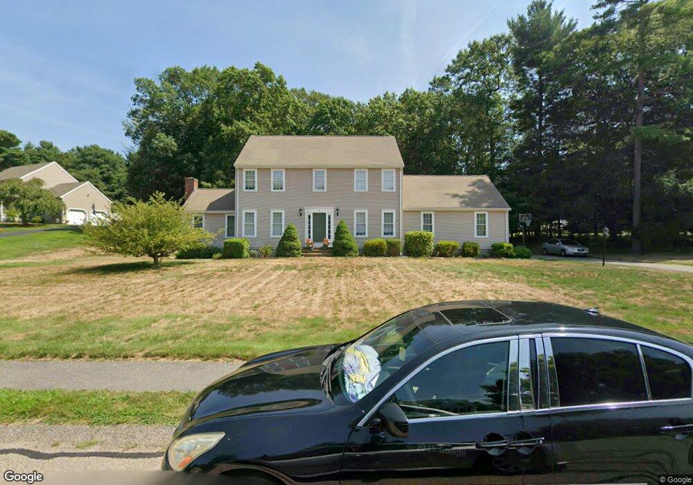
51 Deer Hollow Trail Raynham, MA 02767
Estimated Value: $663,814 - $918,000
--
Bed
3
Baths
2,128
Sq Ft
$365/Sq Ft
Est. Value
About This Home
This home is located at 51 Deer Hollow Trail, Raynham, MA 02767 and is currently estimated at $776,204, approximately $364 per square foot. 51 Deer Hollow Trail is a home located in Bristol County with nearby schools including LaLiberte Elementary School, Merrill Elementary School, and Williams Intermediate School.
Ownership History
Date
Name
Owned For
Owner Type
Purchase Details
Closed on
Dec 11, 1998
Sold by
Modern Continental Ent
Bought by
Williams Robert C
Current Estimated Value
Home Financials for this Owner
Home Financials are based on the most recent Mortgage that was taken out on this home.
Original Mortgage
$175,000
Outstanding Balance
$39,820
Interest Rate
6.8%
Mortgage Type
Purchase Money Mortgage
Estimated Equity
$736,384
Create a Home Valuation Report for This Property
The Home Valuation Report is an in-depth analysis detailing your home's value as well as a comparison with similar homes in the area
Home Values in the Area
Average Home Value in this Area
Purchase History
| Date | Buyer | Sale Price | Title Company |
|---|---|---|---|
| Williams Robert C | $245,424 | -- |
Source: Public Records
Mortgage History
| Date | Status | Borrower | Loan Amount |
|---|---|---|---|
| Closed | Williams Robert C | $64,000 | |
| Open | Williams Robert C | $175,000 |
Source: Public Records
Tax History Compared to Growth
Tax History
| Year | Tax Paid | Tax Assessment Tax Assessment Total Assessment is a certain percentage of the fair market value that is determined by local assessors to be the total taxable value of land and additions on the property. | Land | Improvement |
|---|---|---|---|---|
| 2025 | $7,208 | $595,700 | $219,100 | $376,600 |
| 2024 | $7,164 | $576,800 | $219,100 | $357,700 |
| 2023 | $6,916 | $508,500 | $197,200 | $311,300 |
| 2022 | $6,623 | $446,600 | $179,200 | $267,400 |
| 2021 | $6,533 | $444,700 | $177,300 | $267,400 |
| 2020 | $6,322 | $438,700 | $171,300 | $267,400 |
| 2019 | $6,243 | $438,700 | $171,300 | $267,400 |
| 2018 | $6,136 | $411,800 | $167,300 | $244,500 |
| 2017 | $5,946 | $395,600 | $159,300 | $236,300 |
| 2016 | $5,850 | $390,500 | $154,200 | $236,300 |
| 2015 | $5,713 | $374,900 | $153,200 | $221,700 |
Source: Public Records
Map
Nearby Homes
- 32 Bear Stump Cir
- 28 Essex Cir Unit 10
- 730 Locust St
- 930 King St
- 53 Queens Cir
- 49 Louie Ln
- 80 Bally Dr
- 138 Pine Tree Ln
- 271 King St
- The Hickory Plan at Larkwood
- The Spruce Plan at Larkwood
- The Chestnut Plan at Larkwood
- The Pine Plan at Larkwood
- The Cedar Plan at Larkwood
- The Elm Mod Plan at Larkwood
- The Dogwood Plan at Larkwood
- 7 Oxbow Rd Unit 5-1
- 210 Linsay Dr
- 0 Oxbow Rd Unit 35-1 73356486
- 0 Oxbow Rd Unit 39-3
- 29 Deer Hollow Trail
- 75 Deer Hollow Trail
- 50 Deer Hollow Trail
- 38 Deer Hollow Trail
- 66 Deer Hollow Trail
- 91 Deer Hollow Trail
- 106 Tearall Rd
- 22 Deer Hollow Trail
- 11 Deer Hollow Trail
- 118 Tearall Rd
- 10 Deer Hollow Trail L-10
- 105 Deer Hollow Trail
- 6 Deer Hollow Trail
- 98 Deer Hollow Trail
- 138 Tearall Rd
- 88 Buck Knoll Rd
- 72 Buck Knoll Rd
- 117 Tearall Rd
- 101 Tearall Rd
- 102 Buck Knoll Rd