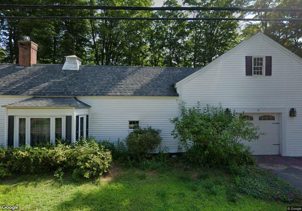
51 Elm St Freedom, NH 03836
Estimated Value: $387,320 - $467,000
3
Beds
3
Baths
2,007
Sq Ft
$215/Sq Ft
Est. Value
About This Home
This home is located at 51 Elm St, Freedom, NH 03836 and is currently estimated at $430,830, approximately $214 per square foot. 51 Elm St is a home with nearby schools including Freedom Elementary School.
Ownership History
Date
Name
Owned For
Owner Type
Purchase Details
Closed on
Nov 14, 2003
Sold by
Davis Michael C and Davis Cynthia H
Bought by
Morris Gale M
Current Estimated Value
Home Financials for this Owner
Home Financials are based on the most recent Mortgage that was taken out on this home.
Original Mortgage
$100,000
Outstanding Balance
$45,747
Interest Rate
5.81%
Mortgage Type
Purchase Money Mortgage
Estimated Equity
$385,083
Create a Home Valuation Report for This Property
The Home Valuation Report is an in-depth analysis detailing your home's value as well as a comparison with similar homes in the area
Home Values in the Area
Average Home Value in this Area
Purchase History
| Date | Buyer | Sale Price | Title Company |
|---|---|---|---|
| Morris Gale M | $171,900 | -- |
Source: Public Records
Mortgage History
| Date | Status | Borrower | Loan Amount |
|---|---|---|---|
| Open | Morris Gale M | $100,000 |
Source: Public Records
Tax History Compared to Growth
Tax History
| Year | Tax Paid | Tax Assessment Tax Assessment Total Assessment is a certain percentage of the fair market value that is determined by local assessors to be the total taxable value of land and additions on the property. | Land | Improvement |
|---|---|---|---|---|
| 2024 | $2,415 | $336,300 | $84,600 | $251,700 |
| 2023 | $2,606 | $237,300 | $44,200 | $193,100 |
| 2022 | $2,428 | $237,300 | $44,200 | $193,100 |
| 2021 | $2,575 | $237,300 | $44,200 | $193,100 |
| 2020 | $2,532 | $237,300 | $44,200 | $193,100 |
| 2019 | $2,517 | $185,600 | $52,200 | $133,400 |
| 2018 | $2,408 | $186,200 | $52,200 | $134,000 |
| 2016 | $2,346 | $186,200 | $52,200 | $134,000 |
| 2015 | $2,431 | $200,900 | $62,200 | $138,700 |
| 2014 | $2,451 | $200,900 | $62,200 | $138,700 |
| 2013 | $2,483 | $200,900 | $62,200 | $138,700 |
Source: Public Records
Map
Nearby Homes
- Lot 10 Friedman
- 118 Pound Round Rd
- 118 Round Pond Rd
- 78 School St
- Lot 3 Parsons Rd
- Lots 0-4 Parsons Rd
- Lot 2 Parsons Rd
- Lot 4 Parsons Rd
- Lot 1 Parsons Rd
- 118 Washington Rd Unit 55
- 50 Milford Ave
- 187 Huntress Bridge Rd
- 185 Huntress Bridge Rd
- 16 Channel Rd
- Lot 12 Friedman Ln
- 126 Leavitt Rd
- 5 Friedman Ln
- Lot 8 Friedman Ln
- 5-11 Friedman Ln
- 1108 Ossipee Trail