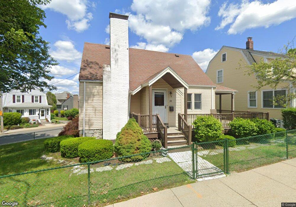
51 Floyd St Winthrop, MA 02152
Winthrop Highlands NeighborhoodEstimated Value: $692,861 - $727,000
2
Beds
2
Baths
1,386
Sq Ft
$514/Sq Ft
Est. Value
About This Home
This home is located at 51 Floyd St, Winthrop, MA 02152 and is currently estimated at $712,715, approximately $514 per square foot. 51 Floyd St is a home located in Suffolk County with nearby schools including William P. Gorman/Fort Banks Elementary School, Arthur T. Cummings Elementary School, and Winthrop Middle School.
Ownership History
Date
Name
Owned For
Owner Type
Purchase Details
Closed on
Nov 30, 2009
Sold by
Rapino Ft and Rapino Marie A
Bought by
Ferrara Christopher
Current Estimated Value
Home Financials for this Owner
Home Financials are based on the most recent Mortgage that was taken out on this home.
Original Mortgage
$80,000
Outstanding Balance
$52,234
Interest Rate
4.92%
Mortgage Type
Purchase Money Mortgage
Estimated Equity
$660,481
Create a Home Valuation Report for This Property
The Home Valuation Report is an in-depth analysis detailing your home's value as well as a comparison with similar homes in the area
Home Values in the Area
Average Home Value in this Area
Purchase History
| Date | Buyer | Sale Price | Title Company |
|---|---|---|---|
| Ferrara Christopher | $130,000 | -- |
Source: Public Records
Mortgage History
| Date | Status | Borrower | Loan Amount |
|---|---|---|---|
| Open | Ferrara Christopher | $80,000 |
Source: Public Records
Tax History Compared to Growth
Tax History
| Year | Tax Paid | Tax Assessment Tax Assessment Total Assessment is a certain percentage of the fair market value that is determined by local assessors to be the total taxable value of land and additions on the property. | Land | Improvement |
|---|---|---|---|---|
| 2025 | $6,439 | $623,900 | $391,800 | $232,100 |
| 2024 | $6,641 | $637,300 | $392,900 | $244,400 |
| 2023 | $6,201 | $579,500 | $353,700 | $225,800 |
| 2022 | $6,160 | $523,800 | $334,500 | $189,300 |
| 2021 | $6,126 | $483,100 | $298,700 | $184,400 |
| 2020 | $6,042 | $478,800 | $298,700 | $180,100 |
| 2019 | $5,945 | $451,100 | $275,300 | $175,800 |
| 2018 | $5,835 | $412,100 | $236,300 | $175,800 |
| 2017 | $5,764 | $400,000 | $224,200 | $175,800 |
| 2016 | $5,589 | $363,600 | $195,000 | $168,600 |
| 2015 | $5,071 | $353,600 | $189,300 | $164,300 |
| 2014 | $4,613 | $296,100 | $157,600 | $138,500 |
Source: Public Records
Map
Nearby Homes
- 5 Quincy Ave
- 144 Quincy Ave
- 328-330 Revere St
- 2 Deane Ave
- 89-91 Sagamore Ave
- 3 Seal Harbor Rd Unit 133
- 3 Seal Harbor Rd Unit 344
- 3 Seal Harbor Rd Unit 137
- 3 Seal Harbor Rd Unit 634
- 1 Seal Harbor Rd Unit 415
- 41 Summit Ave
- 95 Summit Ave Unit 1
- 249 Winthrop Shore Dr Unit 6
- 80 Shirley St Unit 2
- 80 Shirley St Unit 1
- 80 Shirley St
- 1089 Winthrop Ave
- 1089 Winthrop Ave Unit A
- 800 Governors Dr Unit 6
- 800 Governors Dr Unit 30
- 45 Floyd St
- 60 Floyd St Unit 62
- 62 Floyd St Unit 3
- 62 Floyd St Unit 2
- 62 Floyd St
- 60 Floyd St Unit 2
- 60 Floyd St Unit 1
- 125 Sewall Ave
- 131 Sewall Ave
- 43 Floyd St
- 56 Floyd St Unit 3
- 56 Floyd St Unit 2
- 68 Floyd St Unit 70
- 114 Sewall Ave
- 119 Sewall Ave
- 50 Floyd St
- 143 Sewall Ave
- 41 Floyd St
- 146 Sewall Ave
- 46 Floyd St