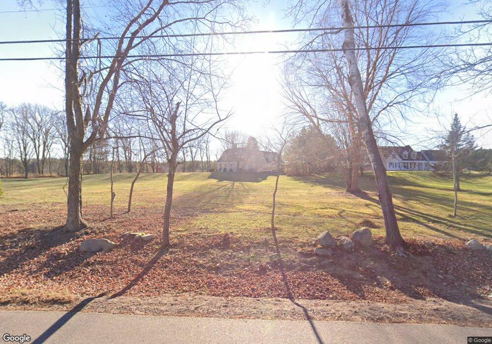
51 Giles Rd East Kingston, NH 03827
Estimated Value: $794,614 - $941,000
3
Beds
4
Baths
3,634
Sq Ft
$239/Sq Ft
Est. Value
About This Home
This home is located at 51 Giles Rd, East Kingston, NH 03827 and is currently estimated at $868,654, approximately $239 per square foot. 51 Giles Rd is a home located in Rockingham County with nearby schools including East Kingston Elementary School, Cooperative Middle School, and Exeter High School.
Ownership History
Date
Name
Owned For
Owner Type
Purchase Details
Closed on
Jun 23, 2016
Sold by
Mith Edward S and Smith Nancy J
Bought by
Bourassa Bruce E and Bourassa Christine
Current Estimated Value
Home Financials for this Owner
Home Financials are based on the most recent Mortgage that was taken out on this home.
Original Mortgage
$448,623
Outstanding Balance
$363,315
Interest Rate
4.12%
Mortgage Type
FHA
Estimated Equity
$505,339
Create a Home Valuation Report for This Property
The Home Valuation Report is an in-depth analysis detailing your home's value as well as a comparison with similar homes in the area
Home Values in the Area
Average Home Value in this Area
Purchase History
| Date | Buyer | Sale Price | Title Company |
|---|---|---|---|
| Bourassa Bruce E | $456,933 | -- |
Source: Public Records
Mortgage History
| Date | Status | Borrower | Loan Amount |
|---|---|---|---|
| Open | Bourassa Bruce E | $448,623 |
Source: Public Records
Tax History Compared to Growth
Tax History
| Year | Tax Paid | Tax Assessment Tax Assessment Total Assessment is a certain percentage of the fair market value that is determined by local assessors to be the total taxable value of land and additions on the property. | Land | Improvement |
|---|---|---|---|---|
| 2024 | $11,831 | $733,500 | $321,000 | $412,500 |
| 2023 | $12,698 | $504,100 | $198,900 | $305,200 |
| 2022 | $11,493 | $504,100 | $198,900 | $305,200 |
| 2021 | $11,095 | $504,100 | $198,900 | $305,200 |
| 2020 | $11,292 | $504,100 | $198,900 | $305,200 |
| 2019 | $6,859 | $504,100 | $198,900 | $305,200 |
| 2018 | $6,651 | $388,800 | $152,200 | $236,600 |
| 2017 | $6,911 | $388,800 | $152,200 | $236,600 |
| 2016 | $9,638 | $388,800 | $152,200 | $236,600 |
| 2015 | $9,631 | $388,800 | $152,200 | $236,600 |
| 2014 | $9,720 | $388,800 | $152,200 | $236,600 |
| 2013 | $10,001 | $403,900 | $137,200 | $266,700 |
Source: Public Records
Map
Nearby Homes
- 7 Autumn Ln
- 139 North Rd
- 21 Greystone Rd
- Lot H Longview Place
- Lot L Longview Place
- Lot M Longview Place
- 140 Kingston Rd
- 55 Powder Mill Rd
- 512 Canterbury Dr
- 614 Canterbury Dr
- 64 Kingston Rd
- 311 Friar Tuck Dr
- 210 Robin Hood Ln Unit 210RH
- 23 Sumac St
- 202 Robinhood Dr
- 7 Sir Lancelot Dr
- 132A Robinhood Dr
- Lot 46-C Moulton Ridge Rd
- 6 Blueberry Ln
- 204 N Haverhill Rd