51 Lake Rd Brookfield, NH 03872
Estimated Value: $855,000 - $1,090,482
2
Beds
2
Baths
1,621
Sq Ft
$584/Sq Ft
Est. Value
About This Home
This home is located at 51 Lake Rd, Brookfield, NH 03872 and is currently estimated at $947,121, approximately $584 per square foot. 51 Lake Rd is a home located in Carroll County with nearby schools including Paul Elementary School.
Ownership History
Date
Name
Owned For
Owner Type
Purchase Details
Closed on
Jul 1, 2010
Sold by
Ayers Barbara J
Bought by
Wheeler Arthur J and Wheeler Frances
Current Estimated Value
Home Financials for this Owner
Home Financials are based on the most recent Mortgage that was taken out on this home.
Original Mortgage
$275,000
Outstanding Balance
$184,197
Interest Rate
4.88%
Mortgage Type
Purchase Money Mortgage
Estimated Equity
$762,924
Create a Home Valuation Report for This Property
The Home Valuation Report is an in-depth analysis detailing your home's value as well as a comparison with similar homes in the area
Home Values in the Area
Average Home Value in this Area
Purchase History
| Date | Buyer | Sale Price | Title Company |
|---|---|---|---|
| Wheeler Arthur J | $375,000 | -- |
Source: Public Records
Mortgage History
| Date | Status | Borrower | Loan Amount |
|---|---|---|---|
| Open | Wheeler Arthur J | $275,000 |
Source: Public Records
Tax History Compared to Growth
Tax History
| Year | Tax Paid | Tax Assessment Tax Assessment Total Assessment is a certain percentage of the fair market value that is determined by local assessors to be the total taxable value of land and additions on the property. | Land | Improvement |
|---|---|---|---|---|
| 2024 | $7,367 | $979,700 | $731,800 | $247,900 |
| 2023 | $6,711 | $979,700 | $731,800 | $247,900 |
| 2022 | $5,302 | $432,800 | $290,500 | $142,300 |
| 2021 | $5,341 | $432,800 | $290,500 | $142,300 |
| 2020 | $5,358 | $432,800 | $290,500 | $142,300 |
| 2019 | $5,397 | $432,800 | $290,500 | $142,300 |
| 2018 | $4,871 | $432,600 | $290,500 | $142,100 |
| 2017 | $4,512 | $356,700 | $267,600 | $89,100 |
| 2016 | $4,616 | $356,700 | $267,600 | $89,100 |
| 2015 | $4,659 | $356,700 | $267,600 | $89,100 |
| 2014 | $4,544 | $356,700 | $267,600 | $89,100 |
| 2013 | $4,380 | $356,700 | $267,600 | $89,100 |
Source: Public Records
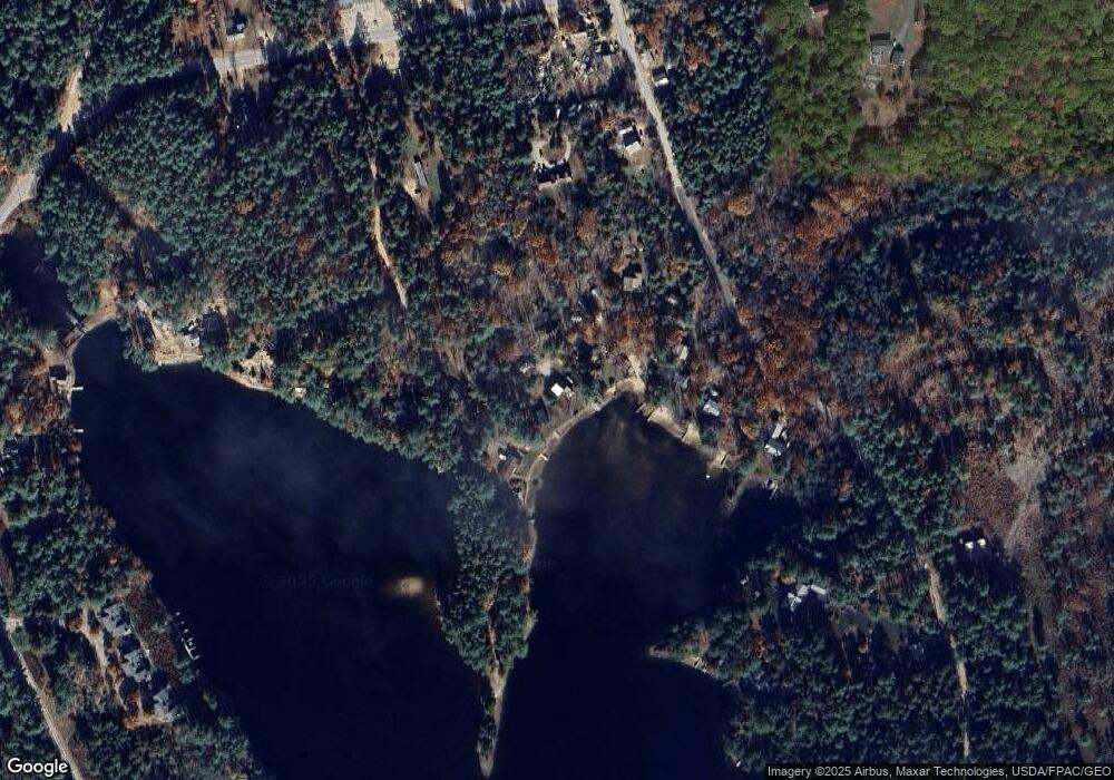
Map
Nearby Homes
- 59 Lake Rd
- 730 Browns Ridge Rd
- 00 Diane Place Unit 5
- Lot 2 Leighton Corner Rd
- Lot 20.3(TM4) John Hodgdon Rd
- 314 Beverly Hills Dr
- 201 Beverly Hills Dr
- 420 Ballards Ridge Rd
- 275 Granite Rd
- Lot 6 Pick Pocket Rd
- 419 Belleau Blvd
- 115 Chandler Ln
- 55 Cese Way
- 0 Province Lake Rd Unit 22854991
- 149 Sleepy Hollow Rd
- Lots 30+18 Thornhill Rd
- 2403 Province Lake Rd Unit 21000
- 8 Eliot Dr
- 1690 Province Lake Rd
- 29 Concord Ln