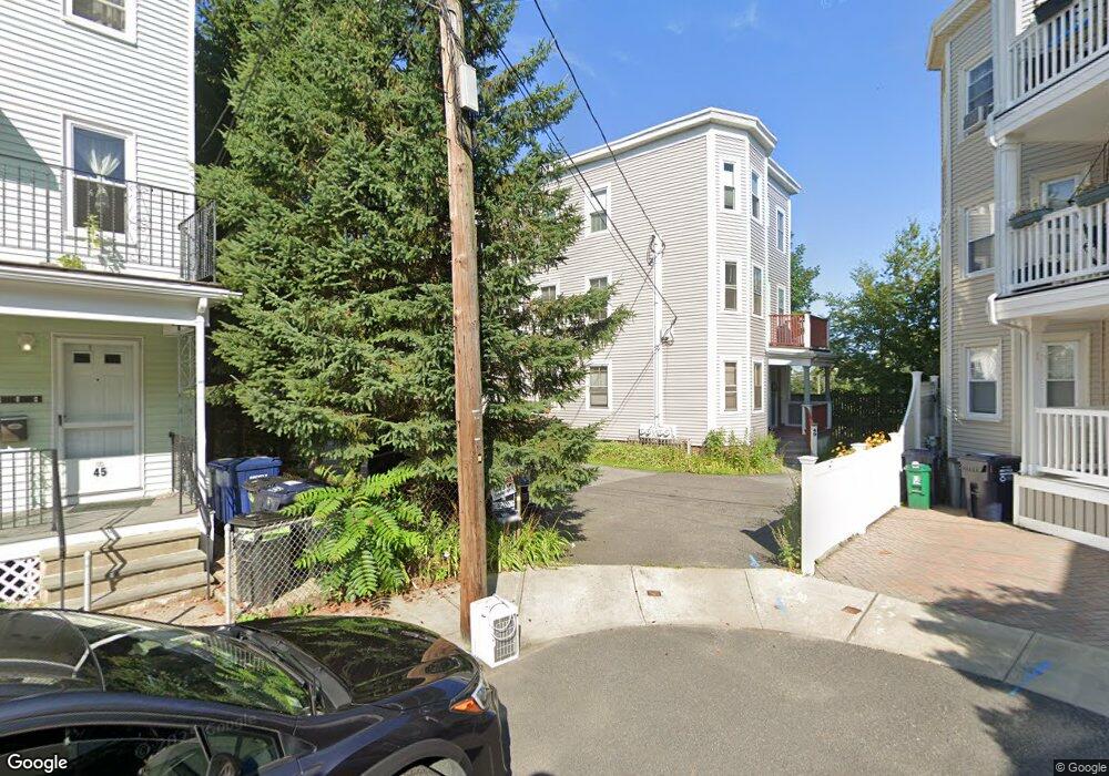
51 Locke St Cambridge, MA 02140
North Cambridge NeighborhoodEstimated Value: $1,679,000 - $2,020,000
6
Beds
4
Baths
3,456
Sq Ft
$541/Sq Ft
Est. Value
About This Home
This home is located at 51 Locke St, Cambridge, MA 02140 and is currently estimated at $1,871,000, approximately $541 per square foot. 51 Locke St is a home located in Middlesex County with nearby schools including Benjamin Banneker Charter Public School, Cambridge Friends School, and International School of Boston.
Ownership History
Date
Name
Owned For
Owner Type
Purchase Details
Closed on
Oct 28, 1994
Sold by
Daley Stacia
Bought by
Roberts Keith R and Roberts Nancy A
Current Estimated Value
Home Financials for this Owner
Home Financials are based on the most recent Mortgage that was taken out on this home.
Original Mortgage
$177,659
Interest Rate
8.65%
Mortgage Type
Purchase Money Mortgage
Create a Home Valuation Report for This Property
The Home Valuation Report is an in-depth analysis detailing your home's value as well as a comparison with similar homes in the area
Home Values in the Area
Average Home Value in this Area
Purchase History
| Date | Buyer | Sale Price | Title Company |
|---|---|---|---|
| Roberts Keith R | $184,000 | -- | |
| Roberts Keith R | $184,000 | -- |
Source: Public Records
Mortgage History
| Date | Status | Borrower | Loan Amount |
|---|---|---|---|
| Open | Roberts Keith R | $176,446 | |
| Closed | Roberts Keith R | $177,659 |
Source: Public Records
Tax History Compared to Growth
Tax History
| Year | Tax Paid | Tax Assessment Tax Assessment Total Assessment is a certain percentage of the fair market value that is determined by local assessors to be the total taxable value of land and additions on the property. | Land | Improvement |
|---|---|---|---|---|
| 2025 | $10,444 | $1,644,800 | $561,600 | $1,083,200 |
| 2024 | $9,640 | $1,628,300 | $585,100 | $1,043,200 |
| 2023 | $9,003 | $1,536,300 | $596,800 | $939,500 |
| 2022 | $8,229 | $1,390,000 | $541,400 | $848,600 |
| 2021 | $7,954 | $1,359,600 | $543,200 | $816,400 |
| 2020 | $7,626 | $1,326,200 | $527,200 | $799,000 |
| 2019 | $7,260 | $1,222,200 | $470,600 | $751,600 |
| 2018 | $6,736 | $1,070,900 | $396,400 | $674,500 |
| 2017 | $6,562 | $1,011,100 | $371,600 | $639,500 |
| 2016 | $6,366 | $910,800 | $322,000 | $588,800 |
| 2015 | $6,208 | $793,900 | $283,100 | $510,800 |
| 2014 | $5,990 | $714,800 | $247,700 | $467,100 |
Source: Public Records
Map
Nearby Homes
- 17 Shea Rd
- 50 Howard St Unit 5
- 32 Cameron Ave
- 30 Dudley St
- 67-69 Cameron Ave
- 61 Cameron Ave
- 34 Day St
- 22 Harrington Rd
- 2456 Massachusetts Ave Unit 402
- 39 Seven Pines Ave
- 110 Reed St
- 24 Washburn Ave Unit 1
- 97 Elmwood St Unit 313
- 97 Elmwood St Unit 310
- 69 Harvey St Unit 1
- 179 Rindge Ave Unit 1
- 183 Rindge Ave Unit 1
- 12 Rindge Ave Unit 1
- 127 Harvey St
- 127 Harvey St Unit 127
- 4B Elmwood Ter Vr 538k-- Unit B
- 48 Locke St Unit 3
- 48 Locke St Unit 2
- 48 Locke St Unit 1
- 45 Locke St
- 45 Locke St Unit 3
- 45 Locke St Unit 1
- 45 Locke St
- 45 Locke St Unit 2
- 46 Locke St Unit 2
- 41 Locke St
- 43 Locke St
- 42 Locke St
- 44 Locke St
- 44 Locke St Unit 44 44
- 35 Shea Rd
- 88 Elmwood Ave Unit 16
- 31 Shea Rd
- 40 Locke St
- 41 Shea Rd Unit 41