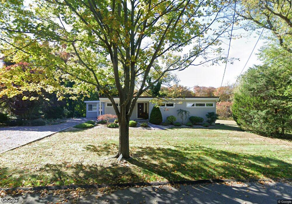
51 Marys Ln Scituate, MA 02066
Estimated Value: $818,000 - $1,072,000
4
Beds
3
Baths
1,224
Sq Ft
$799/Sq Ft
Est. Value
About This Home
This home is located at 51 Marys Ln, Scituate, MA 02066 and is currently estimated at $978,421, approximately $799 per square foot. 51 Marys Ln is a home located in Plymouth County with nearby schools including Hatherly Elementary School, Lester J. Gates Middle School, and Scituate High School.
Ownership History
Date
Name
Owned For
Owner Type
Purchase Details
Closed on
Apr 26, 2002
Sold by
Agnes Z Coleman T and Coleman Agnes Z
Bought by
51 Marys Ln Nt and Coleman George A
Current Estimated Value
Home Financials for this Owner
Home Financials are based on the most recent Mortgage that was taken out on this home.
Original Mortgage
$297,500
Outstanding Balance
$126,683
Interest Rate
7.05%
Mortgage Type
Purchase Money Mortgage
Estimated Equity
$851,738
Create a Home Valuation Report for This Property
The Home Valuation Report is an in-depth analysis detailing your home's value as well as a comparison with similar homes in the area
Home Values in the Area
Average Home Value in this Area
Purchase History
| Date | Buyer | Sale Price | Title Company |
|---|---|---|---|
| 51 Marys Ln Nt | $302,500 | -- |
Source: Public Records
Mortgage History
| Date | Status | Borrower | Loan Amount |
|---|---|---|---|
| Open | 51 Marys Ln Nt | $297,500 |
Source: Public Records
Tax History Compared to Growth
Tax History
| Year | Tax Paid | Tax Assessment Tax Assessment Total Assessment is a certain percentage of the fair market value that is determined by local assessors to be the total taxable value of land and additions on the property. | Land | Improvement |
|---|---|---|---|---|
| 2025 | $9,649 | $965,900 | $660,500 | $305,400 |
| 2024 | $8,080 | $779,900 | $480,300 | $299,600 |
| 2023 | $7,881 | $703,400 | $436,700 | $266,700 |
| 2022 | $7,881 | $624,500 | $382,200 | $242,300 |
| 2021 | $7,605 | $570,500 | $364,000 | $206,500 |
| 2020 | $7,205 | $533,700 | $350,000 | $183,700 |
| 2019 | $7,098 | $516,600 | $343,100 | $173,500 |
| 2018 | $6,616 | $474,300 | $330,600 | $143,700 |
| 2017 | $6,517 | $462,500 | $318,800 | $143,700 |
| 2016 | $6,039 | $427,100 | $283,400 | $143,700 |
| 2015 | $5,286 | $403,500 | $259,800 | $143,700 |
Source: Public Records
Map
Nearby Homes
- 29 Country Club Cir
- 27 Ann Vinal Rd
- 378 Tilden Rd
- 59 Captain Peirce Rd
- 2 Windward Ln
- 112 Hollett St
- 16 3 Ring Rd
- 54 Woodland Rd
- 17 Bradford Ave
- 22 Kings Way
- 7 Border St
- 30 Irving Rd
- 209 Hatherly Rd
- 10 Baileys Causeway
- 26 Mordecai Lincoln Rd
- 14 Aberdeen Dr
- 10 Benjamin Ln Unit 10
- 6 Tilden Ave
- 32 Fairview Ave
- 817 Country Way