51 Mayhew Norton Rd Vineyard Haven, MA 02568
West Tisbury NeighborhoodEstimated Value: $1,513,000 - $2,184,000
4
Beds
3
Baths
2,334
Sq Ft
$823/Sq Ft
Est. Value
About This Home
This home is located at 51 Mayhew Norton Rd, Vineyard Haven, MA 02568 and is currently estimated at $1,920,588, approximately $822 per square foot. 51 Mayhew Norton Rd is a home located in Dukes County with nearby schools including Martha's Vineyard Regional High School and Martha's Vineyard Charter School.
Ownership History
Date
Name
Owned For
Owner Type
Purchase Details
Closed on
Sep 30, 2019
Sold by
Gutin Jo A
Bought by
Joann C Gutin Ret
Current Estimated Value
Purchase Details
Closed on
Aug 19, 2015
Sold by
Gutin Philip H and Gutin Jo C
Bought by
Gutin Jo C
Purchase Details
Closed on
Aug 23, 1999
Sold by
Chandler Kenneth A and Chandler Linda K
Bought by
T Philip
Home Financials for this Owner
Home Financials are based on the most recent Mortgage that was taken out on this home.
Original Mortgage
$291,200
Interest Rate
7.6%
Mortgage Type
Purchase Money Mortgage
Create a Home Valuation Report for This Property
The Home Valuation Report is an in-depth analysis detailing your home's value as well as a comparison with similar homes in the area
Home Values in the Area
Average Home Value in this Area
Purchase History
| Date | Buyer | Sale Price | Title Company |
|---|---|---|---|
| Joann C Gutin Ret | -- | -- | |
| Gutin Jo C | -- | -- | |
| T Philip | $364,000 | -- |
Source: Public Records
Mortgage History
| Date | Status | Borrower | Loan Amount |
|---|---|---|---|
| Previous Owner | T Philip | $291,200 |
Source: Public Records
Tax History Compared to Growth
Tax History
| Year | Tax Paid | Tax Assessment Tax Assessment Total Assessment is a certain percentage of the fair market value that is determined by local assessors to be the total taxable value of land and additions on the property. | Land | Improvement |
|---|---|---|---|---|
| 2025 | $8,984 | $1,983,200 | $870,600 | $1,112,600 |
| 2024 | $8,185 | $1,903,500 | $845,400 | $1,058,100 |
| 2023 | $7,864 | $1,803,600 | $805,200 | $998,400 |
| 2022 | $7,049 | $1,211,100 | $438,800 | $772,300 |
| 2021 | $5,416 | $887,900 | $412,900 | $475,000 |
| 2020 | $5,315 | $875,600 | $398,300 | $477,300 |
| 2019 | $3,786 | $612,700 | $398,300 | $214,400 |
| 2018 | $3,713 | $612,700 | $398,300 | $214,400 |
| 2017 | $3,532 | $591,700 | $398,300 | $193,400 |
| 2016 | $3,318 | $547,600 | $374,000 | $173,600 |
| 2015 | $3,176 | $556,300 | $374,000 | $182,300 |
| 2014 | $3,118 | $576,300 | $408,500 | $167,800 |
Source: Public Records
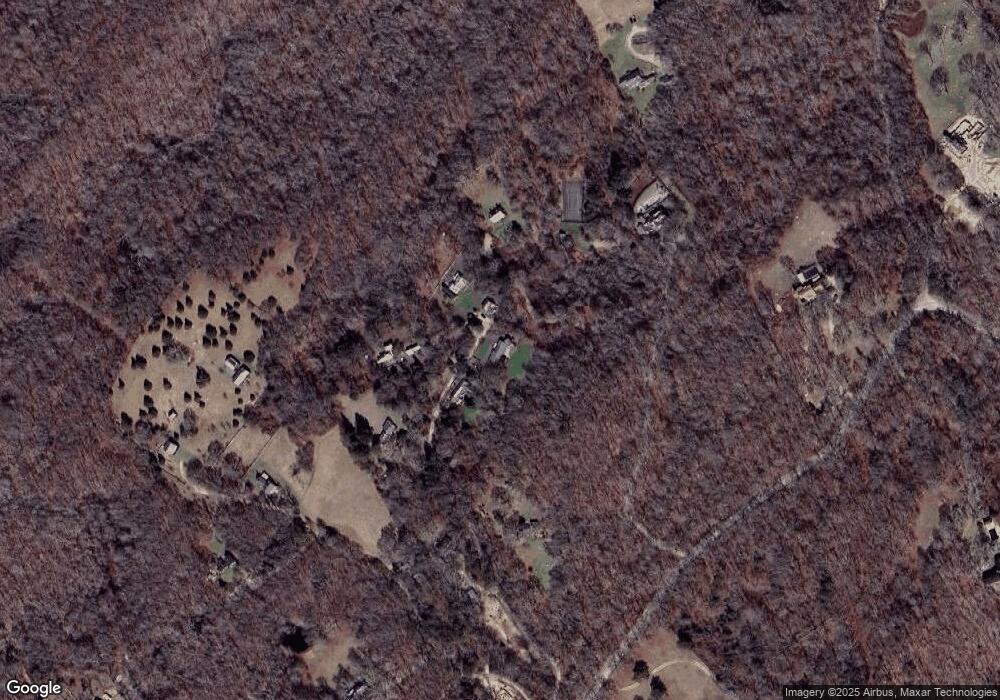
Map
Nearby Homes
- 38 Fire Tower Rd Unit 40.2
- 104 & 111 Old Herring Creek Rd
- 31 Josiah Sachem Way
- 42 Hidden Village Rd
- 14 Rebekahs Way
- 651 State Rd
- 52 Old Coach Rd
- 85 Reservoir Rd
- 55 Old House Way
- 97 Longview Rd
- 60 Bartimus Luce Rd
- 22 Bramble Path Unit 214
- 22 Bramble Path
- 9 Galway Rd
- 20 Brook Hollow Rd
- 157 Ben Chase Rd
- 40 Scotchmans Ln
- 122 Old Farm Rd
- 124 Old Farm Rd Unit 122, 116
- 10 Trotters Ln
- 45 Mayhew Norton Rd
- 56 Mayhew Norton Rd
- 54 Mayhew Norton Rd
- 36 Mayhew Norton Rd
- 18 Hillbrook Ln
- 10,18 & 28 Hillbrook Ln
- 31 Mayhew Norton Rd
- 18 & 28 Hillbrook Ln
- 10,18,28 Hillbrook Ln
- 14 Mayhew Norton Rd
- 28 & 18 Hillbrook Ln
- 28 Hillbrook Ln
- 49 Ephraim Allen Rd
- 64 Ephraim Allen Rd
- 64 Ephraim Allen Rd
- 60 Obed Daggett Rd
- 391 Indian Hill Rd
- 42 Ephraim Allen Rd
- 14 Ephraim Allen Rd
- 400 Indian Hill Rd