51 Mellbridge Dr Wakefield, RI 02879
Estimated Value: $519,066 - $564,000
3
Beds
2
Baths
1,086
Sq Ft
$498/Sq Ft
Est. Value
About This Home
This home is located at 51 Mellbridge Dr, Wakefield, RI 02879 and is currently estimated at $541,017, approximately $498 per square foot. 51 Mellbridge Dr is a home located in Washington County with nearby schools including South Kingstown High School, The Compass School, and South Shore School.
Ownership History
Date
Name
Owned For
Owner Type
Purchase Details
Closed on
Oct 17, 2025
Sold by
Bancroft J Whitney J and Bancroft Nancy L
Bought by
Bancroft Family Lt and Bancroft
Current Estimated Value
Purchase Details
Closed on
Jul 23, 1973
Bought by
Bancroft J Whitney and Bancroft Nancy
Create a Home Valuation Report for This Property
The Home Valuation Report is an in-depth analysis detailing your home's value as well as a comparison with similar homes in the area
Home Values in the Area
Average Home Value in this Area
Purchase History
| Date | Buyer | Sale Price | Title Company |
|---|---|---|---|
| Bancroft Family Lt | -- | -- | |
| Bancroft J Whitney | -- | -- |
Source: Public Records
Mortgage History
| Date | Status | Borrower | Loan Amount |
|---|---|---|---|
| Previous Owner | Bancroft J Whitney | $150,000 |
Source: Public Records
Tax History Compared to Growth
Tax History
| Year | Tax Paid | Tax Assessment Tax Assessment Total Assessment is a certain percentage of the fair market value that is determined by local assessors to be the total taxable value of land and additions on the property. | Land | Improvement |
|---|---|---|---|---|
| 2025 | $3,514 | $393,100 | $174,800 | $218,300 |
| 2024 | $3,389 | $306,700 | $134,500 | $172,200 |
| 2023 | $3,389 | $306,700 | $134,500 | $172,200 |
| 2022 | $3,358 | $306,700 | $134,500 | $172,200 |
| 2021 | $3,542 | $245,100 | $116,900 | $128,200 |
| 2020 | $3,542 | $245,100 | $116,900 | $128,200 |
| 2019 | $3,542 | $245,100 | $116,900 | $128,200 |
| 2018 | $3,360 | $214,300 | $108,700 | $105,600 |
| 2017 | $3,281 | $214,300 | $108,700 | $105,600 |
| 2016 | $3,234 | $214,300 | $108,700 | $105,600 |
| 2015 | $3,279 | $211,300 | $106,300 | $105,000 |
| 2014 | $3,271 | $211,300 | $106,300 | $105,000 |
Source: Public Records
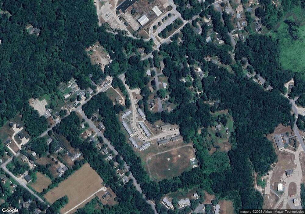
Map
Nearby Homes
- 507 Curtis Corner Rd
- 58 Vespia Ln
- 54 Vespia Ln
- 50 Vespia Ln
- 42 Vespia Ln
- 0 Vespia Dr Unit 1317499
- 14 Vespia Ln Unit B
- 82 Foster Sheldon Rd
- 00 South Rd
- 1810 Kingstown Rd
- 87 Henry Case Way
- 17 Celestial Heights Dr
- 222 Windmill Dr
- 53 Rocky Brook Way
- 26 Bramblewood Ln
- 0 South Rd Unit 1400966
- 228 Rodman St
- 1332 South Rd
- 128 Rodman St
- 5 Secluded Dr
- 40 Mellbridge Dr
- 31 Mellbridge Dr
- 50 Mellbridge Dr
- 26 Mellbridge Dr
- 376 Curtis Corner Rd
- 15 Mellbridge Dr
- 10 Mellbridge Dr
- 28 Sweet Allen Farm Rd
- 14 Sweet Allen Farm Rd
- 343 Curtis Corner Rd
- 333 Curtis Corner Rd
- 47 Sweet Allen Farm Rd
- 395 Curtis Corner Rd
- 41 Sweet Allen Farm Rd
- 55 Sweet Allen Farm Rd
- 391 Curtis Corner Rd
- 31 Sweet Allen Farm Rd
- 310 Curtis Corner Rd
- 23 Sweet Allen Farm Rd
- 67 Sweet Allen Farm Rd