Estimated Value: $576,000 - $1,241,000
3
Beds
3
Baths
1,344
Sq Ft
$719/Sq Ft
Est. Value
About This Home
This home is located at 51 N Gate Island Rd, Otis, MA 01253 and is currently estimated at $966,637, approximately $719 per square foot. 51 N Gate Island Rd is a home with nearby schools including Farmington River Elementary School.
Ownership History
Date
Name
Owned For
Owner Type
Purchase Details
Closed on
Jun 11, 2004
Sold by
Loughmann Funding T and Loughman Maryanne L
Bought by
Colangelo David and Colangelo Kelly
Current Estimated Value
Purchase Details
Closed on
Jul 31, 1997
Sold by
Lassy Richard W and Lassy Janet D
Bought by
Louchman Robert E and Loughman Maryanne L
Home Financials for this Owner
Home Financials are based on the most recent Mortgage that was taken out on this home.
Original Mortgage
$183,200
Interest Rate
7.55%
Mortgage Type
Purchase Money Mortgage
Create a Home Valuation Report for This Property
The Home Valuation Report is an in-depth analysis detailing your home's value as well as a comparison with similar homes in the area
Home Values in the Area
Average Home Value in this Area
Purchase History
| Date | Buyer | Sale Price | Title Company |
|---|---|---|---|
| Colangelo David | $408,000 | -- | |
| Colangelo David | $408,000 | -- | |
| Louchman Robert E | $229,000 | -- | |
| Louchman Robert E | $229,000 | -- |
Source: Public Records
Mortgage History
| Date | Status | Borrower | Loan Amount |
|---|---|---|---|
| Previous Owner | Louchman Robert E | $175,000 | |
| Previous Owner | Louchman Robert E | $183,200 |
Source: Public Records
Tax History Compared to Growth
Tax History
| Year | Tax Paid | Tax Assessment Tax Assessment Total Assessment is a certain percentage of the fair market value that is determined by local assessors to be the total taxable value of land and additions on the property. | Land | Improvement |
|---|---|---|---|---|
| 2025 | $6,207 | $960,800 | $544,400 | $416,400 |
| 2024 | $5,486 | $846,600 | $468,000 | $378,600 |
| 2023 | $5,186 | $783,400 | $404,800 | $378,600 |
| 2022 | $5,165 | $666,400 | $390,500 | $275,900 |
| 2021 | $5,411 | $638,900 | $417,100 | $221,800 |
| 2020 | $5,295 | $634,900 | $417,100 | $217,800 |
| 2019 | $5,257 | $634,900 | $417,100 | $217,800 |
| 2018 | $5,257 | $634,900 | $417,100 | $217,800 |
| 2017 | $5,130 | $634,900 | $417,100 | $217,800 |
| 2016 | $4,984 | $634,900 | $417,100 | $217,800 |
| 2015 | $4,453 | $591,400 | $364,100 | $227,300 |
Source: Public Records
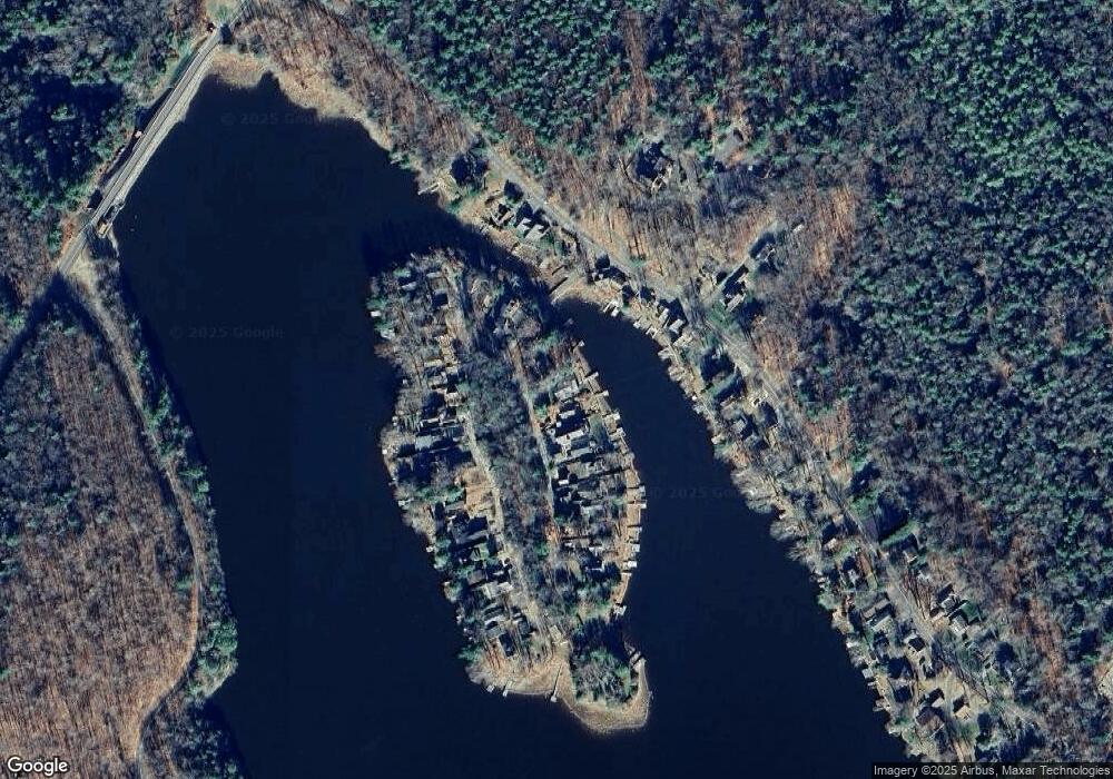
Map
Nearby Homes
- 134 Kibbe Rd
- 454 Pine Rd
- 369 Pine Rd
- 854 Tolland Rd
- 185 Pine Rd
- 8 Crawford Way
- 14 N Ridge St
- 14 N Ridge St
- 23 S Pine St
- 236 Ridge Ave
- 7 Reservoir Heights Rd
- 91 Pike Rd
- 129 W Shore Rd
- 30 Brookman Dr
- 168 Tolland Rd
- 56 Otis-Tolland Rd
- 191 Moreau Rd
- 0 Curtis Hall Rd Unit 73425043
- 0 Curtis Hall Rd Unit 73376838
- 98 Loop Dr
- 57 N Gate Island Rd
- 47 N Gate Island Rd
- 61 N Gate Island Rd
- 67 N Gate Island Rd
- 31 N Gate Island Rd
- 0 Big Island Unit 149197
- 71 Gate Island Rd
- 14 Island Acres R
- 26 N Gate Island Rd
- 5 S Gate Island Rd
- 77 N Gate Island Rd
- 30 S Gate Island Rd
- 38 N Gate Island Rd
- 122 Kibbe Rd
- 81 N Gate Island Rd
- 34 S Gate Island Rd
- 130 Kibbe Rd
- 24 S Gate Island Rd
- 20 S Gate Island Rd
- 46 S Gate Island Rd