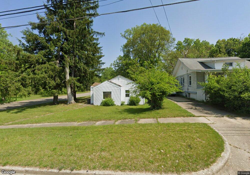
51 Northside Dr E Battle Creek, MI 49037
North Central NeighborhoodEstimated Value: $96,848 - $118,000
2
Beds
1
Bath
676
Sq Ft
$155/Sq Ft
Est. Value
About This Home
This home is located at 51 Northside Dr E, Battle Creek, MI 49037 and is currently estimated at $104,962, approximately $155 per square foot. 51 Northside Dr E is a home located in Calhoun County with nearby schools including Dudley School, Northwestern Middle School, and Battle Creek Central High School.
Ownership History
Date
Name
Owned For
Owner Type
Purchase Details
Closed on
Nov 23, 2021
Sold by
Ports Cassandra
Bought by
Williams Jeano Barry
Current Estimated Value
Purchase Details
Closed on
Jan 7, 2010
Sold by
Baker Kyle
Bought by
Portes Cassandra
Purchase Details
Closed on
Apr 24, 2002
Sold by
Collins Ruth Mae
Bought by
Baker Kyle
Purchase Details
Closed on
Sep 7, 2001
Sold by
Collins Charles G
Bought by
Collins Ruth M
Create a Home Valuation Report for This Property
The Home Valuation Report is an in-depth analysis detailing your home's value as well as a comparison with similar homes in the area
Home Values in the Area
Average Home Value in this Area
Purchase History
| Date | Buyer | Sale Price | Title Company |
|---|---|---|---|
| Williams Jeano Barry | $3,000 | None Available | |
| Portes Cassandra | $3,000 | None Available | |
| Baker Kyle | $6,000 | -- | |
| Collins Ruth M | -- | -- |
Source: Public Records
Tax History Compared to Growth
Tax History
| Year | Tax Paid | Tax Assessment Tax Assessment Total Assessment is a certain percentage of the fair market value that is determined by local assessors to be the total taxable value of land and additions on the property. | Land | Improvement |
|---|---|---|---|---|
| 2025 | -- | $17,900 | $0 | $0 |
| 2024 | $775 | $14,759 | $0 | $0 |
| 2023 | $920 | $12,431 | $0 | $0 |
| 2022 | $603 | $10,248 | $0 | $0 |
| 2021 | $529 | $8,851 | $0 | $0 |
| 2020 | $523 | $8,510 | $0 | $0 |
| 2019 | $537 | $7,893 | $0 | $0 |
| 2018 | $537 | $8,147 | $602 | $7,545 |
| 2017 | $575 | $8,716 | $0 | $0 |
| 2016 | $580 | $9,126 | $0 | $0 |
| 2015 | $635 | $8,990 | $2,948 | $6,042 |
| 2014 | $635 | $9,886 | $2,948 | $6,938 |
Source: Public Records
Map
Nearby Homes
- 52 Roseneath Ave
- 46 Walter Ave
- 5 Beglin Ct
- 216 Kendall St N
- 435 Kendall St N
- 188 Roseneath Ave
- 161 Wilds Ave
- 224 Hubbard St
- 266 North Ave
- 51 Latta St
- 253 Greenwood Ave
- 16 Eagle St
- 273 Garfield Ave
- 706 Washington Ave N
- 35 Hubbard St
- 60 Graves Ave
- 323 Garfield Ave
- 0 W Vanburen 032 St Unit 22040288
- 192 Fremont St
- 69 Jordan St
- 53 Northside Dr E
- 52 Northside Dr E
- 54 Northside Dr E
- 182 Hanover St
- 58 Northside Dr E
- 47 Northside Dr E
- 169 Hazel St
- 186 Hanover St
- 181 Hazel St
- 160 Hanover St
- 43 Northside Dr E
- 163 Hazel St
- 190 Hanover St
- 154 Hanover St
- 70 Northside Dr E
- 189 Hazel St
- 79 Northside Dr E
- 30 Northside Dr E
- 189 Hanover St
- 182 Hudson Ave