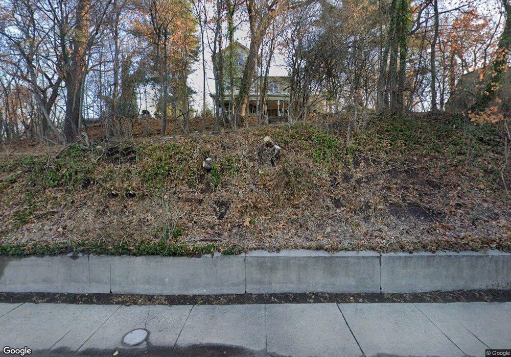
51 River Rd Highland Park, NJ 08904
Estimated Value: $916,000 - $1,395,793
6
Beds
5
Baths
4,158
Sq Ft
$293/Sq Ft
Est. Value
About This Home
This home is located at 51 River Rd, Highland Park, NJ 08904 and is currently estimated at $1,218,198, approximately $292 per square foot. 51 River Rd is a home located in Middlesex County with nearby schools including Irving Primary School, Bartle School, and Highland Park Middle School.
Ownership History
Date
Name
Owned For
Owner Type
Purchase Details
Closed on
Sep 6, 2012
Sold by
Weissman Steven and Saiff Wendy
Bought by
Myers Carolyn
Current Estimated Value
Home Financials for this Owner
Home Financials are based on the most recent Mortgage that was taken out on this home.
Original Mortgage
$680,000
Outstanding Balance
$470,975
Interest Rate
3.59%
Mortgage Type
New Conventional
Estimated Equity
$747,223
Create a Home Valuation Report for This Property
The Home Valuation Report is an in-depth analysis detailing your home's value as well as a comparison with similar homes in the area
Home Values in the Area
Average Home Value in this Area
Purchase History
| Date | Buyer | Sale Price | Title Company |
|---|---|---|---|
| Myers Carolyn | $850,000 | Chicago Title Insurance Comp |
Source: Public Records
Mortgage History
| Date | Status | Borrower | Loan Amount |
|---|---|---|---|
| Open | Myers Carolyn | $680,000 |
Source: Public Records
Tax History Compared to Growth
Tax History
| Year | Tax Paid | Tax Assessment Tax Assessment Total Assessment is a certain percentage of the fair market value that is determined by local assessors to be the total taxable value of land and additions on the property. | Land | Improvement |
|---|---|---|---|---|
| 2025 | $27,413 | $1,070,000 | $349,200 | $720,800 |
| 2024 | $26,729 | $1,070,000 | $349,200 | $720,800 |
| 2023 | $26,729 | $1,070,000 | $349,200 | $720,800 |
| 2022 | $31,723 | $372,200 | $162,400 | $209,800 |
| 2021 | $31,298 | $372,200 | $162,400 | $209,800 |
| 2020 | $31,298 | $372,200 | $162,400 | $209,800 |
| 2019 | $31,716 | $376,900 | $162,400 | $214,500 |
| 2018 | $8,614 | $376,900 | $162,400 | $214,500 |
| 2017 | $29,609 | $314,700 | $162,400 | $152,300 |
| 2016 | $24,855 | $314,700 | $162,400 | $152,300 |
| 2015 | $23,923 | $314,700 | $162,400 | $152,300 |
| 2014 | $23,533 | $294,300 | $162,400 | $131,900 |
Source: Public Records
Map
Nearby Homes
- 1002 Leia Ln
- 308 Grant Ave
- 307 Wayne St
- 117-119 N 3rd Ave
- 803 Greenland Square
- 378 George St
- 326-328 Cedar Ave
- 1806 One Spring St Unit 1806
- 110 Somerset St Unit 2114
- 1 Spring St Unit 1806
- 1 Spring St Unit 2305
- 230 Felton Ave
- 119 Hill St
- 127 Hill St
- 20 Livingston Ave Unit 601
- 116 Graham St
- 525 S 2nd Ave
- 149 N 5th Ave
- 328 Becker St
- 34 Bartlett St
- 10 Lawrence Ave
- 49 River Rd
- 9 Walter Ave
- 11 Walter Ave
- 2 Walter Ave
- 15 Walter Ave
- 8 Harrison Ave
- 18 Lawrence Ave
- 17 Walter Ave
- 45 River Rd
- 17 Lawrence Ave
- 21 Walter Ave
- 25 Walter Ave
- 3 Grant Ave
- 40 Lawrence Ave
- 27 Walter Ave
- 22 Harrison Ave
- 31 River Rd Unit C002
- 31 River Rd Unit C001
- 31 River Rd Unit C026