51 Riverside Dr Alfred, ME 04002
Estimated Value: $501,000 - $674,000
3
Beds
--
Bath
1,748
Sq Ft
$336/Sq Ft
Est. Value
About This Home
This home is located at 51 Riverside Dr, Alfred, ME 04002 and is currently estimated at $587,281, approximately $335 per square foot. 51 Riverside Dr is a home with nearby schools including Massabesic High School, St Thomas Consolidated School, and Sanford Christian Academy.
Ownership History
Date
Name
Owned For
Owner Type
Purchase Details
Closed on
Aug 21, 2025
Sold by
Riverside Drive T and Strater
Bought by
Nolette Ronald E and Allaire Catherine A
Current Estimated Value
Purchase Details
Closed on
Mar 3, 2008
Sold by
Nolette Ronald E and Allaire Catherine A
Bought by
Riverside Drive T
Create a Home Valuation Report for This Property
The Home Valuation Report is an in-depth analysis detailing your home's value as well as a comparison with similar homes in the area
Home Values in the Area
Average Home Value in this Area
Purchase History
| Date | Buyer | Sale Price | Title Company |
|---|---|---|---|
| Nolette Ronald E | -- | -- | |
| Nolette Ronald E | -- | -- | |
| Nolette Ronald E | -- | -- | |
| Riverside Drive T | -- | -- | |
| Riverside Drive T | -- | -- |
Source: Public Records
Tax History Compared to Growth
Tax History
| Year | Tax Paid | Tax Assessment Tax Assessment Total Assessment is a certain percentage of the fair market value that is determined by local assessors to be the total taxable value of land and additions on the property. | Land | Improvement |
|---|---|---|---|---|
| 2025 | $5,803 | $601,342 | $140,970 | $460,372 |
| 2024 | $5,683 | $601,342 | $140,970 | $460,372 |
| 2023 | $5,309 | $282,400 | $75,000 | $207,400 |
| 2022 | $5,083 | $282,400 | $75,000 | $207,400 |
| 2021 | $4,871 | $282,400 | $75,000 | $207,400 |
| 2020 | $4,631 | $282,400 | $75,000 | $207,400 |
| 2019 | $4,631 | $282,400 | $75,000 | $207,400 |
| 2018 | $4,490 | $282,400 | $75,000 | $207,400 |
| 2017 | $4,490 | $282,400 | $75,000 | $207,400 |
| 2016 | $4,278 | $282,400 | $75,000 | $207,400 |
| 2015 | $4,095 | $282,400 | $75,000 | $207,400 |
| 2014 | $4,024 | $282,400 | $75,000 | $207,400 |
| 2013 | $3,883 | $282,400 | $75,000 | $207,400 |
Source: Public Records
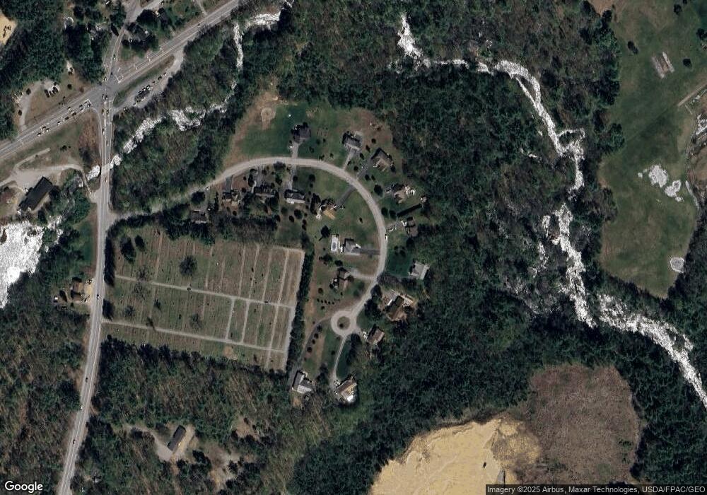
Map
Nearby Homes
- 51 Sanford Rd
- 58 Sanford Rd
- 34 Cascade Cir Unit 30
- Lot 35 Bennett Rd
- 87 Drown Rd
- 310 Jordan Springs Rd
- 330 Biddeford Rd
- TBD Olde Farnham Rd
- 0 Sanford Rd
- 232 Waterboro Rd
- 23 Branch View Terrace N
- TBD Branch View Terrace Unit Lot 5
- TBD Branch View Terrace Unit Lot 4
- Lot B Bernier Rd
- Lot A Bernier Rd
- 2252 Alfred Rd
- 8 Hummingbird Ln
- 6 Commodore Dr
- 9 Commodore Dr
- 22 White House Cove Rd
- 61 Riverside Dr
- 41 Riverside Dr
- 52 Riverside Dr
- 58 Riverside Dr
- 48 Riverside Dr
- 31 Riverside Dr
- 62 Riverside Dr
- 68 Riverside Dr
- 44 Riverside Dr
- 27 Riverside Dr
- 38 Riverside Dr
- 32 Riverside Dr
- 72 Riverside Dr
- 69 Riverside Dr
- Lot 5 Riverside Dr
- L47-1 Riverside Dr
- 4 Riverside Dr
- 7 Riverside Dr
- 2 Riverside Dr
- 11 Riverside Dr