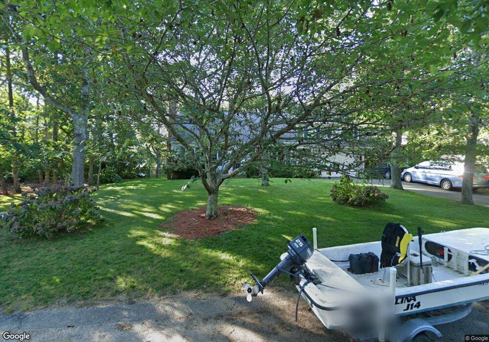
51 Sarah Maker Ln Brewster, MA 02631
Estimated Value: $952,000 - $1,073,982
4
Beds
2
Baths
1,801
Sq Ft
$559/Sq Ft
Est. Value
About This Home
This home is located at 51 Sarah Maker Ln, Brewster, MA 02631 and is currently estimated at $1,006,496, approximately $558 per square foot. 51 Sarah Maker Ln is a home located in Barnstable County with nearby schools including Nauset Regional Middle School, Nauset Regional High School, and Cape Cod Lighthouse Charter School.
Ownership History
Date
Name
Owned For
Owner Type
Purchase Details
Closed on
May 29, 1998
Sold by
Mccullagh Case Caryn
Bought by
Beer Ted W and Bernal Connie Jo
Current Estimated Value
Home Financials for this Owner
Home Financials are based on the most recent Mortgage that was taken out on this home.
Original Mortgage
$152,100
Interest Rate
7.12%
Mortgage Type
Purchase Money Mortgage
Purchase Details
Closed on
Jul 15, 1997
Sold by
Hart Norman A
Bought by
Case Caryn Mccullagh
Create a Home Valuation Report for This Property
The Home Valuation Report is an in-depth analysis detailing your home's value as well as a comparison with similar homes in the area
Home Values in the Area
Average Home Value in this Area
Purchase History
| Date | Buyer | Sale Price | Title Company |
|---|---|---|---|
| Beer Ted W | $169,000 | -- | |
| Case Caryn Mccullagh | $143,500 | -- |
Source: Public Records
Mortgage History
| Date | Status | Borrower | Loan Amount |
|---|---|---|---|
| Open | Case Caryn Mccullagh | $275,000 | |
| Closed | Case Caryn Mccullagh | $142,000 | |
| Closed | Case Caryn Mccullagh | $141,760 | |
| Closed | Case Caryn Mccullagh | $152,100 |
Source: Public Records
Tax History Compared to Growth
Tax History
| Year | Tax Paid | Tax Assessment Tax Assessment Total Assessment is a certain percentage of the fair market value that is determined by local assessors to be the total taxable value of land and additions on the property. | Land | Improvement |
|---|---|---|---|---|
| 2025 | $6,410 | $931,700 | $323,600 | $608,100 |
| 2024 | $6,036 | $886,400 | $305,300 | $581,100 |
| 2023 | $5,541 | $792,700 | $272,600 | $520,100 |
| 2022 | $5,241 | $667,600 | $227,100 | $440,500 |
| 2021 | $4,995 | $582,200 | $197,400 | $384,800 |
| 2020 | $4,889 | $567,200 | $197,400 | $369,800 |
| 2019 | $4,690 | $546,600 | $189,900 | $356,700 |
| 2018 | $4,438 | $537,300 | $189,900 | $347,400 |
| 2017 | $4,354 | $519,000 | $189,900 | $329,100 |
| 2016 | $4,304 | $510,600 | $198,600 | $312,000 |
| 2015 | $4,125 | $499,400 | $194,700 | $304,700 |
Source: Public Records
Map
Nearby Homes
- 33 Captain William Arthur Rd
- 958 Long Pond Rd
- 43 Billington Ln
- 43 Billington Ln Unit 43
- 55 Leona Terrace
- 274 Commons Way
- 96 Eaton Ln Unit 96
- 78 Eaton Ln Unit 78
- 78 Eaton Ln
- 52 Eaton Ln Unit (52)
- 737 Thousand Oaks Dr
- 63 Trevor Ln Unit 63
- 82 Fletcher Ln Unit I
- 16 Commons Way
- 30 Fox Crossing Rd
- 46 Court Way
- 60 Fletcher Ln Unit H
- 60 Fletcher Ln Unit C
- 0 Commons Way Unit 22504099
- 765 Millstone Rd
- 0 Sheep Pond Dr
- 59 Sarah Maker Ln
- 41 Sarah Maker Ln
- 50 Sarah Maker Ln
- 381 Sheep Pond Dr
- 373 Sheep Pond Dr
- 389 Sheep Pond Dr
- 31 Sarah Maker Ln
- 44 Sarah Maker Ln
- 60 Sarah Maker Ln
- 28 Sarah Maker Ln
- 1079 Crowells Bog Rd
- 363 Sheep Pond Dr
- 360 Sheep Pond Dr
- 395 Sheep Pond Dr
- 72 Newport Rd
- 21 Sarah Maker Ln
- 69 Howes Rd
- 16 Sarah Maker Ln
- 411 Sheep Pond Dr