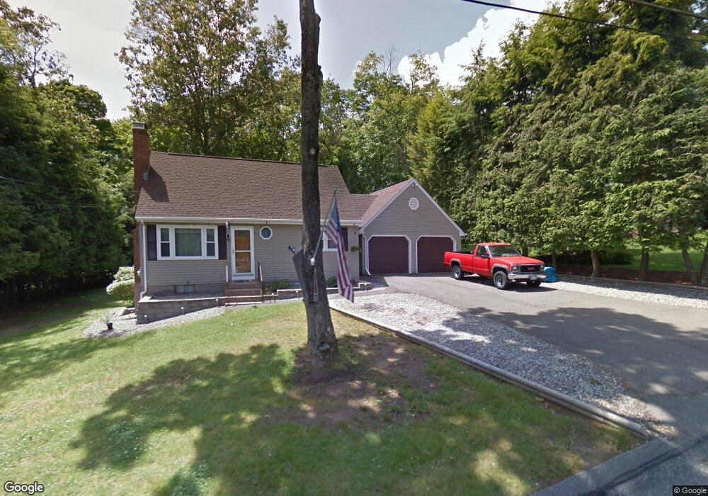
51 Schofield Rd Willington, CT 06279
Estimated Value: $341,500 - $368,000
3
Beds
2
Baths
1,620
Sq Ft
$218/Sq Ft
Est. Value
About This Home
This home is located at 51 Schofield Rd, Willington, CT 06279 and is currently estimated at $352,625, approximately $217 per square foot. 51 Schofield Rd is a home located in Tolland County with nearby schools including Center Elementary School, Hall Memorial School, and E.O. Smith High School.
Ownership History
Date
Name
Owned For
Owner Type
Purchase Details
Closed on
Jun 1, 2009
Sold by
Walsh Michael A
Bought by
Delavergne Richard A and Chiasson Kimberly A
Current Estimated Value
Purchase Details
Closed on
Aug 3, 1992
Sold by
York Charles and York Marsha
Bought by
Demaio Eugene and Demaio Michelle
Create a Home Valuation Report for This Property
The Home Valuation Report is an in-depth analysis detailing your home's value as well as a comparison with similar homes in the area
Home Values in the Area
Average Home Value in this Area
Purchase History
| Date | Buyer | Sale Price | Title Company |
|---|---|---|---|
| Delavergne Richard A | $180,000 | -- | |
| Delavergne Richard A | $180,000 | -- | |
| Demaio Eugene | $133,000 | -- | |
| Demaio Eugene | $133,000 | -- |
Source: Public Records
Mortgage History
| Date | Status | Borrower | Loan Amount |
|---|---|---|---|
| Open | Demaio Eugene | $150,000 | |
| Closed | Demaio Eugene | $25,000 |
Source: Public Records
Tax History
| Year | Tax Paid | Tax Assessment Tax Assessment Total Assessment is a certain percentage of the fair market value that is determined by local assessors to be the total taxable value of land and additions on the property. | Land | Improvement |
|---|---|---|---|---|
| 2025 | $4,882 | $192,060 | $50,980 | $141,080 |
| 2024 | $4,934 | $145,590 | $33,080 | $112,510 |
| 2023 | $4,682 | $145,590 | $33,080 | $112,510 |
| 2022 | $4,553 | $145,590 | $33,080 | $112,510 |
| 2021 | $4,366 | $145,590 | $33,080 | $112,510 |
| 2020 | $4,366 | $145,590 | $33,080 | $112,510 |
| 2019 | $4,381 | $145,590 | $33,080 | $112,510 |
| 2018 | $4,136 | $137,440 | $40,960 | $96,480 |
| 2017 | $4,136 | $137,440 | $40,960 | $96,480 |
| 2015 | $3,758 | $137,440 | $40,960 | $96,480 |
| 2014 | $3,758 | $137,440 | $40,960 | $96,480 |
Source: Public Records
Map
Nearby Homes
- 0 River Rd Unit 24120753
- 280 Village Hill Rd
- 21 Ashley Ln
- 28 Cemetery Rd
- 0 Lohse Rd Unit map 42 block 21
- 70 Tolland Turnpike
- 0 Tolland Stage Rd Unit 24101836
- 46 Village Hill Rd
- 487 Buff Cap Rd
- 0 Tolland Turnpike
- 645 Buff Cap Rd
- 0 Jared Sparks Rd
- 8 Neff Hill Rd
- 3 Valery Rd
- 6 Park St
- 52 High St
- 41 Neff Hill Rd
- 15 Usher Ridge
- 68 Usher Ridge
- 36 Usher Ridge
- 55 Schofield Rd
- 49 Schofield Rd
- 52 Schofield Rd
- 48 Schofield Rd
- 45 Schofield Rd
- 57 Schofield Rd
- 54 Schofield Rd
- 60 Schofield Rd
- 61 Schofield Rd
- 56 Schofield Rd
- 43 Schofield Rd
- 63 Schofield Rd Unit 18
- 63 Schofield Rd Unit 16
- 63 Schofield Rd Unit 10
- 63 Schofield Rd Unit 8
- 63 Schofield Rd Unit 50
- 63 Schofield Rd Unit 32
- 63 Schofield Rd Unit 24
- 63 Schofield Rd Unit 56
- 63 Schofield Rd Unit 46
Your Personal Tour Guide
Ask me questions while you tour the home.