51 Sloop Nellie Rd South Bristol, ME 04568
Estimated Value: $527,000 - $807,084
--
Bed
--
Bath
--
Sq Ft
2.3
Acres
About This Home
This home is located at 51 Sloop Nellie Rd, South Bristol, ME 04568 and is currently estimated at $653,021. 51 Sloop Nellie Rd is a home with nearby schools including South Bristol Elementary School.
Ownership History
Date
Name
Owned For
Owner Type
Purchase Details
Closed on
Sep 12, 2016
Sold by
Kelsey Lance T and Kelsey Carol R
Bought by
Kelsey Jonathan R and Kelsey Jessica M
Current Estimated Value
Home Financials for this Owner
Home Financials are based on the most recent Mortgage that was taken out on this home.
Original Mortgage
$150,000
Interest Rate
3.48%
Mortgage Type
Commercial
Create a Home Valuation Report for This Property
The Home Valuation Report is an in-depth analysis detailing your home's value as well as a comparison with similar homes in the area
Home Values in the Area
Average Home Value in this Area
Purchase History
| Date | Buyer | Sale Price | Title Company |
|---|---|---|---|
| Kelsey Jonathan R | -- | -- |
Source: Public Records
Mortgage History
| Date | Status | Borrower | Loan Amount |
|---|---|---|---|
| Closed | Kelsey Jonathan R | $150,000 |
Source: Public Records
Tax History Compared to Growth
Tax History
| Year | Tax Paid | Tax Assessment Tax Assessment Total Assessment is a certain percentage of the fair market value that is determined by local assessors to be the total taxable value of land and additions on the property. | Land | Improvement |
|---|---|---|---|---|
| 2024 | $2,947 | $566,800 | $403,000 | $163,800 |
| 2023 | $2,256 | $566,800 | $403,000 | $163,800 |
| 2021 | $162 | $566,800 | $403,000 | $163,800 |
| 2017 | $1,899 | $566,800 | $403,000 | $163,800 |
| 2016 | $3,873 | $566,800 | $403,000 | $163,800 |
| 2015 | $1,814 | $566,800 | $403,000 | $163,800 |
| 2007 | -- | $566,800 | $403,000 | $163,800 |
Source: Public Records
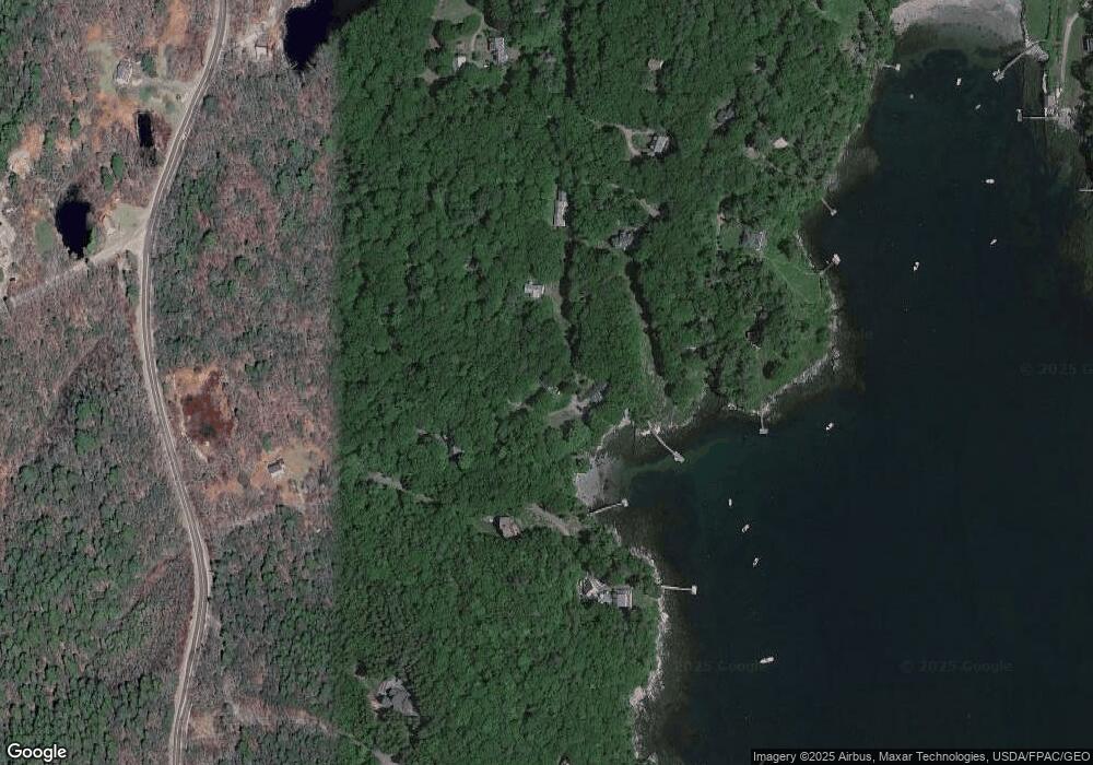
Map
Nearby Homes
- 28 & 31 Will Alley Rd
- 1577 State Route 129
- 35 Rice Rd
- 210 Ocean Point Rd
- 239 Ocean Point Rd
- M4 L89-E Fiske Ln
- 23 Meadow Cove Rd
- 86 Firth Dr
- 98 Meadow Cove Rd
- 25 Pineview Ridge Rd
- Lts 23A&24 Birch Island
- 5 Massachusetts Ave
- Map 004 Lot 089-03
- 82 Pemaquid Trail
- 12 Westwind Dr
- 62 Murphy Rd
- 145 Huddle Rd
- Lot 13 Nahanada Rd
- Lot 11 Nahanada Rd
- 0 Lockhart Cove Rd
- 28 Kings Cove Ln
- 28 King's Cove Ln
- 52 Sloop Nellie Rd
- 35 King Cove Ln
- 33 Sloop Nellie Rd
- 36 Sloop Nellie Rd
- Lot 08-H Sloop Nellie Rd
- 00 Sloop Nellie Rd
- 48 King Cove Ln
- 54 Windigo Ln
- 48 Windigo Ln
- 29 McFarlands Cove Rd
- 0 Rt #129
- 0 Off Route 129
- 0 Rt 129
- 0 Route 129 Rutherford Island
- 2073 State Route 129
- 0 ''''''S'''''' Rd Unit 514467
- 0 ''''''S'''''' Rd Unit 817704
- 0 ''''''S'''''' Rd Unit 900469